From the field
& the feed.
Survey case studies, sensor deep-dives, and regulatory briefings — plus a live stream of what we're publishing on LinkedIn.
 Featured
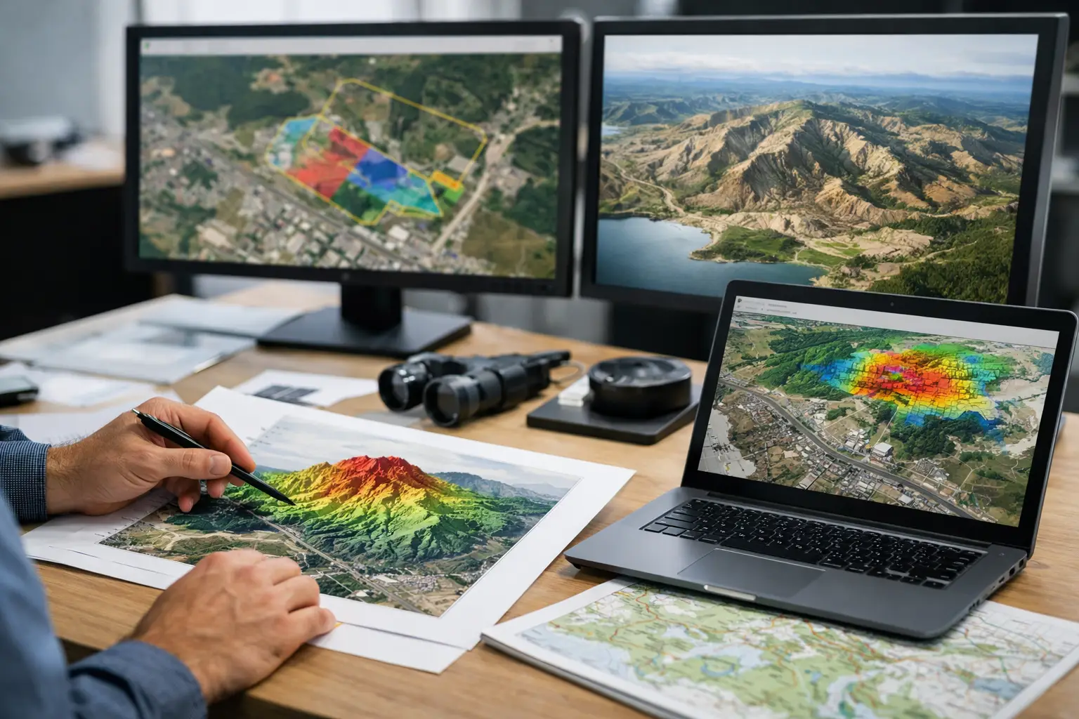
A Guide to Interpreted Geospatial Deliverables
A guide to interpreted geospatial deliverables for mining, water, energy, and infrastructure teams seeking decision-grade, auditable survey outputs.
Read article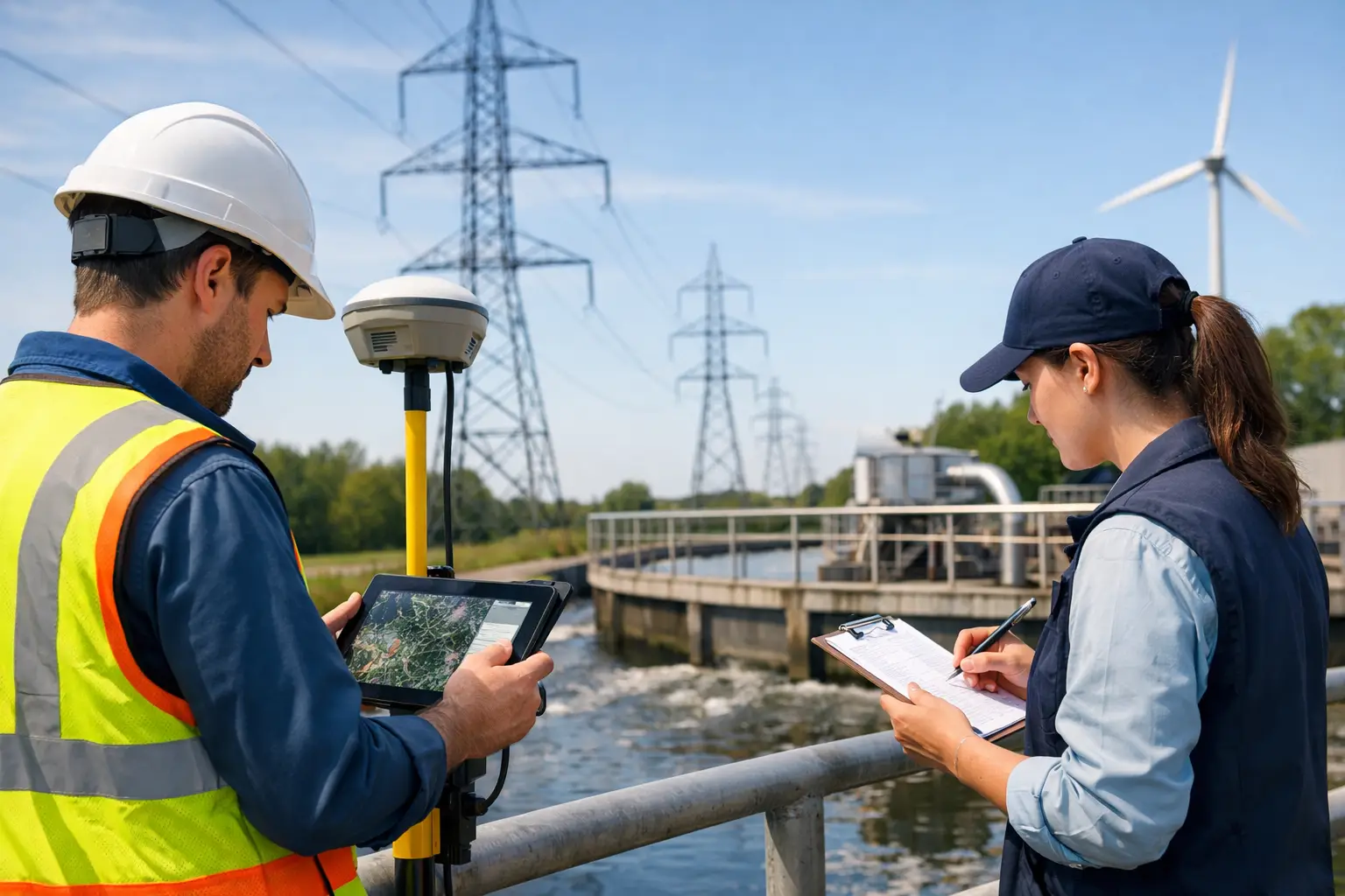 AS-041
Top Survey Methods for Utilities
Compare top survey methods for utilities, from LiDAR and GPR to UAV photogrammetry and EM mapping, for faster, safer, decision-grade asset data.
Read AS-040
7 Best Drone Data Deliverables for Industry
Learn which best drone data deliverables create decision-grade value across mining, utilities, water, and infrastructure projects.
Read AS-039
Best Mapping Workflows for Deserts
Best mapping workflows for deserts demand calibrated sensors, traceable QA/QC, and fast deployment for mining, water, and infrastructure.
Read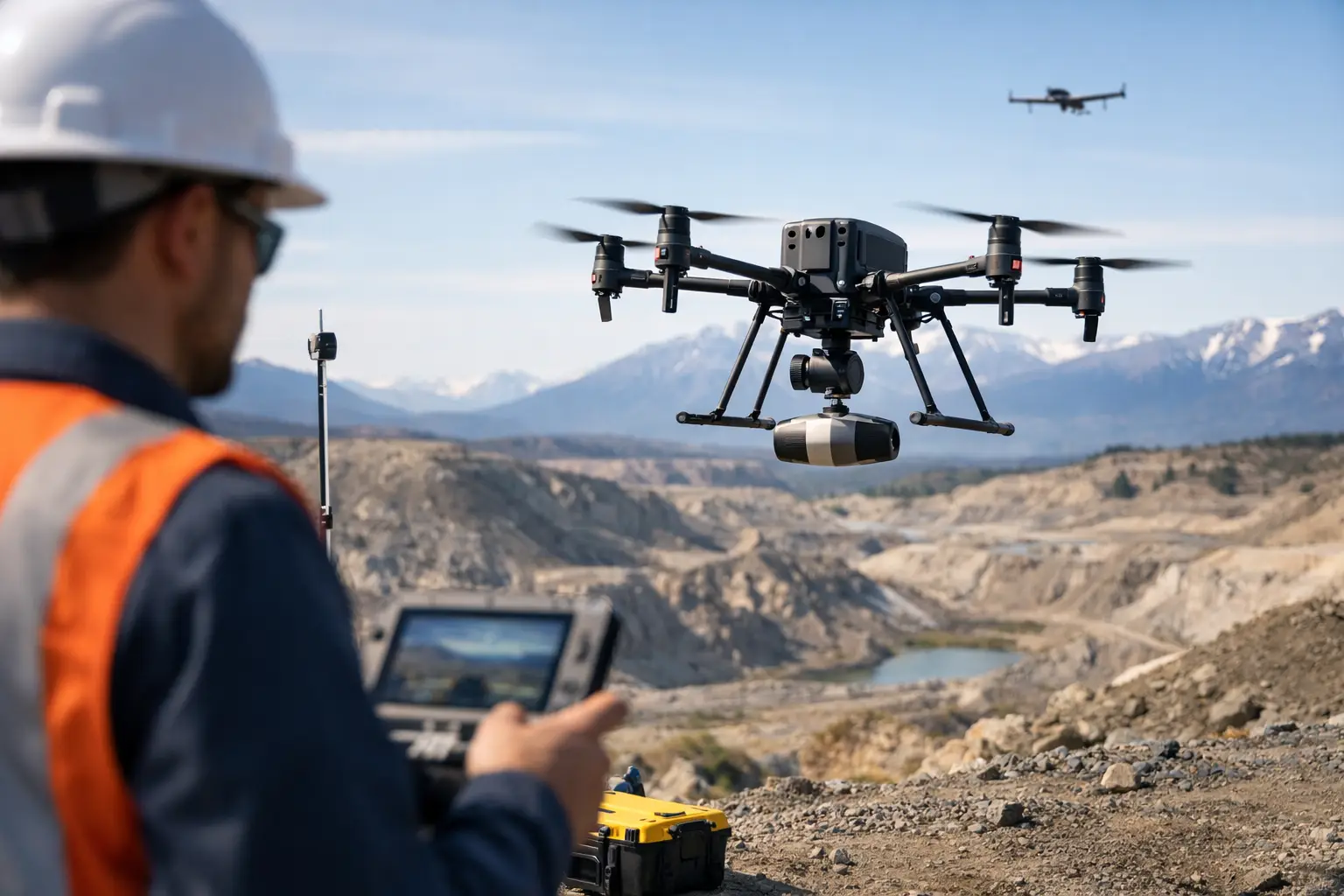 AS-038
The Future of Drone Geophysics
The future of drone geophysics is faster, denser, and more decision-ready, with multi-sensor data, auditable QA/QC, and wider industrial adoption.
Read AS-037
Drone Survey Procurement Guide for Buyers
A drone survey procurement guide for enterprise buyers evaluating scope, sensors, QA/QC, compliance, and deliverables for decision-grade results.
Read AS-036
How Radiometric Data Guides Exploration
Learn how radiometric data guides exploration by mapping potassium, uranium, and thorium signatures to reduce risk and sharpen targeting.
Read AS-035
Mineral Alteration Mapping Workflow That Holds Up
A mineral alteration mapping workflow for exploration teams that need calibrated, auditable hyperspectral outputs for faster targeting.
Read AS-034
Buried Asset Detection Planning That Holds Up
Buried asset detection planning reduces strike risk, rework, and delay by aligning survey methods, QA/QC, and project constraints before fieldwork starts.
Read AS-033
When Should Mines Use Drone Geophysics?
Learn when should mines use drone geophysics for exploration, pit expansion, brownfield targeting, and faster, lower-risk subsurface data.
Read AS-032
Magnetics vs Electromagnetic Surveys
Magnetics vs electromagnetic surveys - compare depth, conductivity response, speed, and use cases for mining, groundwater, and infrastructure.
Read AS-031
Drone Surveys vs Ground Crews
Drone surveys vs ground crews - compare speed, safety, coverage, QA/QC, and cost to choose the right survey method for industrial projects.
Read AS-030
Drone Mapping Platform Comparison for Industry
A drone mapping platform comparison for industrial teams buying software for survey accuracy, QA/QC, processing speed, and enterprise deployment.
Read AS-029
Drone Survey Turnaround Time Explained
Drone survey turnaround time depends on sensor type, terrain, permits, and QA/QC. Learn what drives delivery speed and where delays occur.
Read AS-028
7 Emerging Trends in Multisensor Surveying
A technical look at emerging trends in multisensor surveying, from drone fusion and AI QA/QC to faster, auditable outputs for industry.
Read AS-027
How to Specify LiDAR Accuracy Correctly
Learn how to specify lidar accuracy correctly, including vertical, horizontal, relative, and project-level tolerances for audit-ready survey scopes.
Read AS-026
Groundwater Prospecting Project Example
A groundwater prospecting project example showing how drone geophysics, QA/QC, and interpreted outputs reduce drilling risk and speed site decisions.
Read AS-025
Drone Surveys Versus Helicopters
Drone surveys versus helicopters: compare cost, safety, resolution, mobilization, and QA/QC for mining, water, energy, and infrastructure.
Read AS-024
LiDAR vs Total Station: Which Fits Best?
LiDAR vs total station is not a simple accuracy debate. Compare speed, coverage, control, cost, and field risk for survey decisions.
Read AS-023
How to Write a Pilot Drone Survey Proposal
Learn how to structure a pilot drone survey proposal with scope, sensor plan, QA/QC, mobilization, and decision-grade deliverables.
Read AS-022
When to Use Radiometric Mapping
Learn when to use radiometric mapping for mining, infrastructure, water, and environmental surveys, and where it adds decision-grade value.
Read AS-021
Airborne Geophysical Mapping Explained
Airborne geophysical mapping delivers faster, auditable subsurface intelligence for mining, water, energy, and infrastructure decisions.
Read AS-020
How to Evaluate Geospatial Vendors
Learn how to evaluate geospatial vendors for accuracy, QA/QC, mobilization speed, compliance, and decision-grade outputs in complex projects.
Read AS-019
How Drone Magnetics Reduce Risk in Surveying
Learn how drone magnetics reduce risk by improving safety, access, data quality, and survey speed for mining, utilities, water, and infrastructure.
Read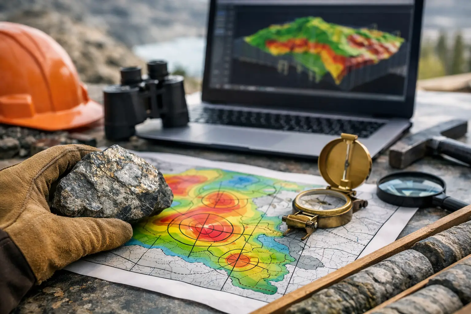 AS-018
Mining Target Generation Case Study
A mining target generation case study showing how integrated drone geophysics, terrain data, and QA/QC improve prospect ranking and field decisions.
Read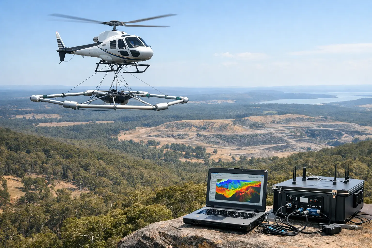 AS-017
A Practical Guide to Airborne Electromagnetics
A practical guide to airborne electromagnetics for mining, water, and infrastructure teams seeking faster surveys and decision-grade subsurface data.
Read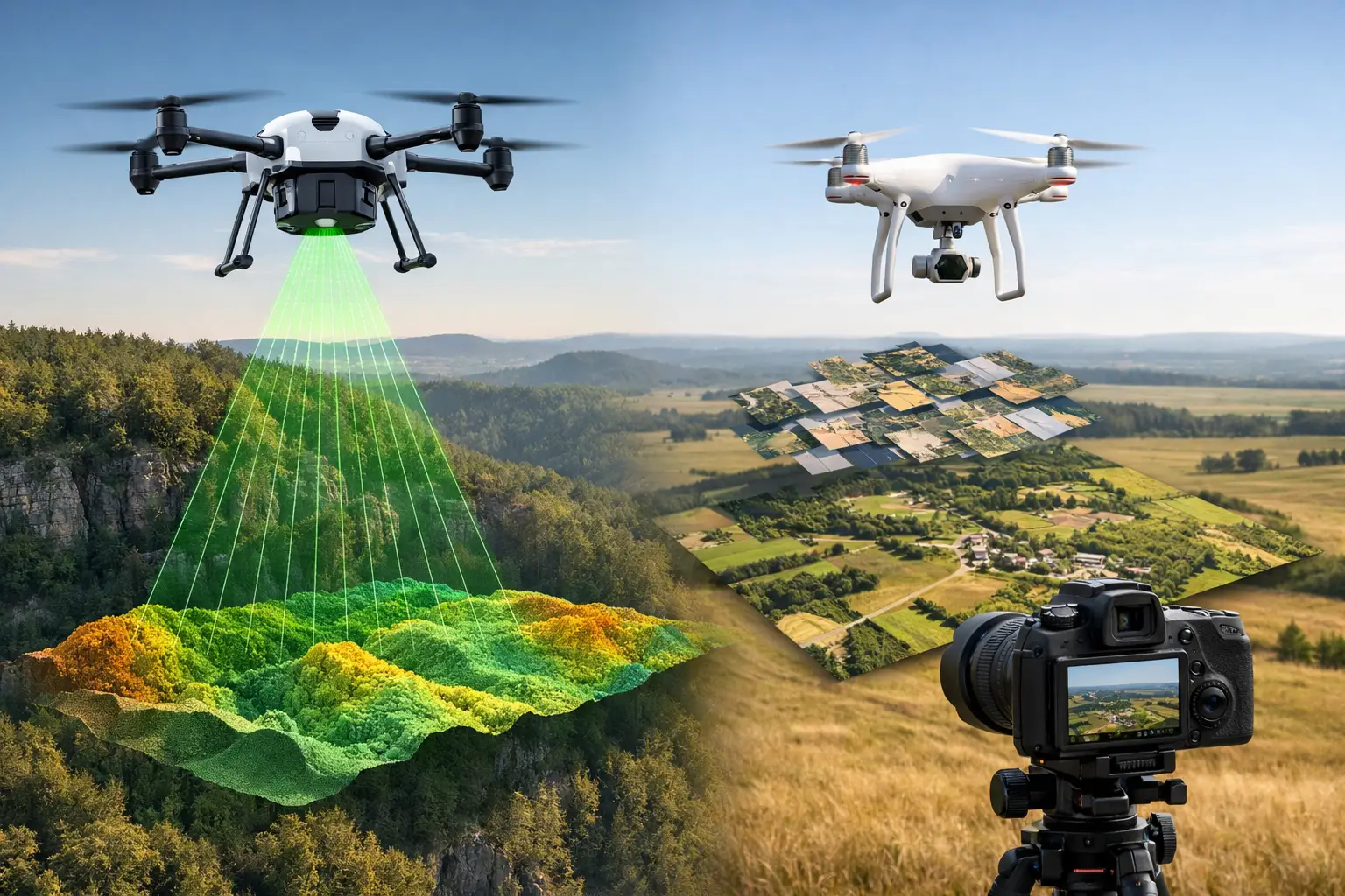 AS-016
LiDAR versus Photogrammetry Mapping
LiDAR versus photogrammetry mapping: compare accuracy, speed, cost, and use cases for mining, infrastructure, and survey decisions.
Read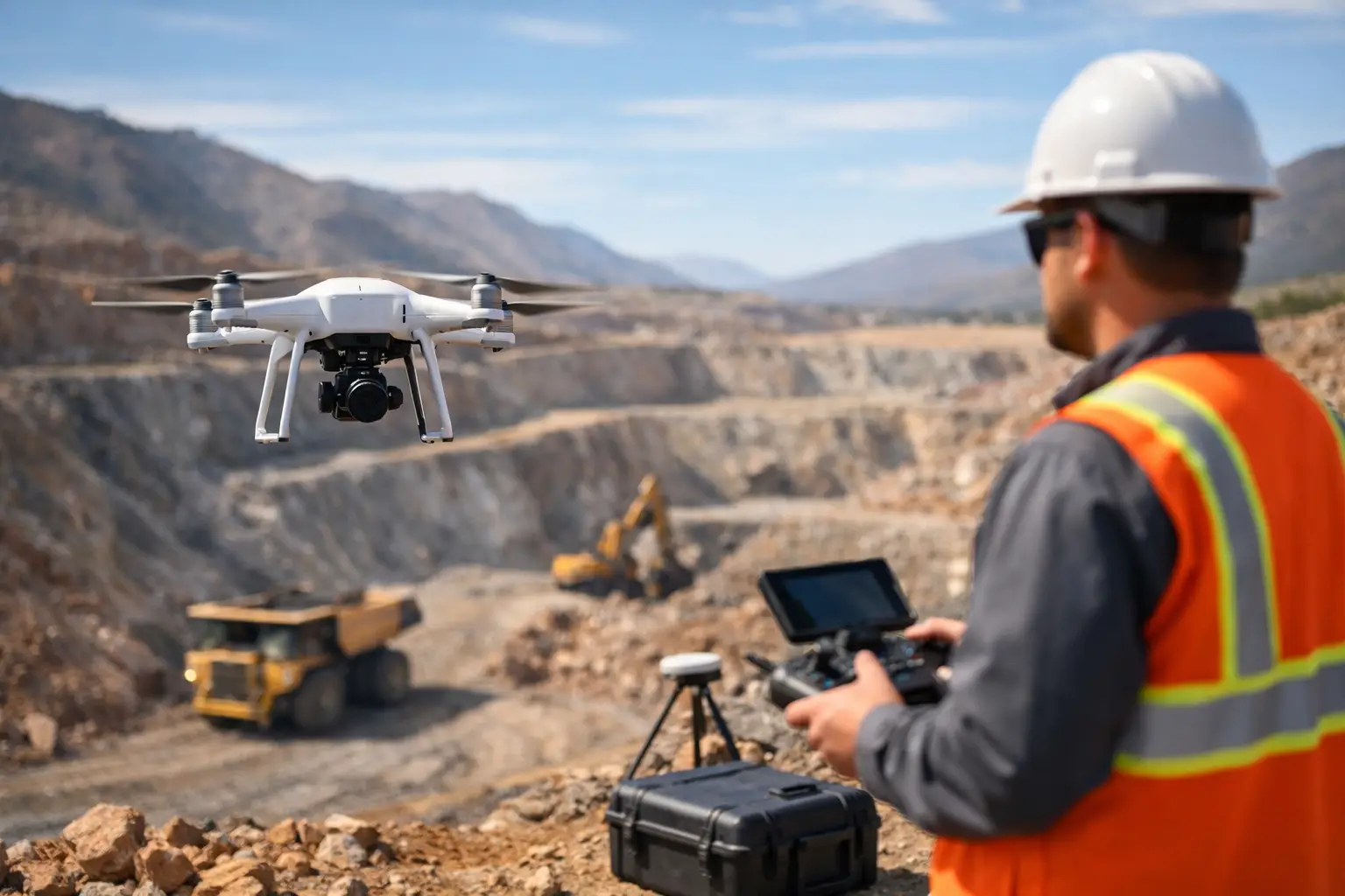 AS-015
Drone Survey for Mining Exploration
Drone survey for mining exploration delivers faster geophysical data, safer access, and auditable results for targeting, mapping, and planning.
Read AS-014
Multi Sensor Data Fusion Mapping Explained
Multi sensor data fusion mapping combines LiDAR, magnetics, EM, imagery, and QA/QC workflows to deliver faster, decision-grade geospatial intelligence.
Read AS-013
Radiometric Survey Applications That Matter
Radiometric survey applications support mining, water, infrastructure, and environmental decisions with fast, traceable geospatial intelligence.
Read AS-012
Utility Detection Survey Methods Explained
Utility detection survey methods vary by material, depth, and site risk. Learn how GPR, EM, LiDAR, and data fusion improve locating accuracy.
Read AS-011
Confined Space Drone Inspection Benefits
Confined space drone inspection cuts risk, reduces downtime, and delivers traceable visual data for tanks, stacks, boilers, and voids.
Read AS-009
How to Map Aquifers With Drones
Learn how to map aquifers with drones using EM, LiDAR, and data fusion to produce auditable groundwater models for planning and exploration.
Read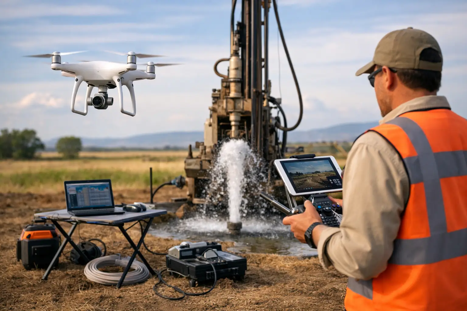 AS-010
Drone Groundwater Exploration Methods That Work
Learn how drone groundwater exploration methods use EM, magnetics, LiDAR, and data fusion to map aquifers faster, safer, and with auditability.
Read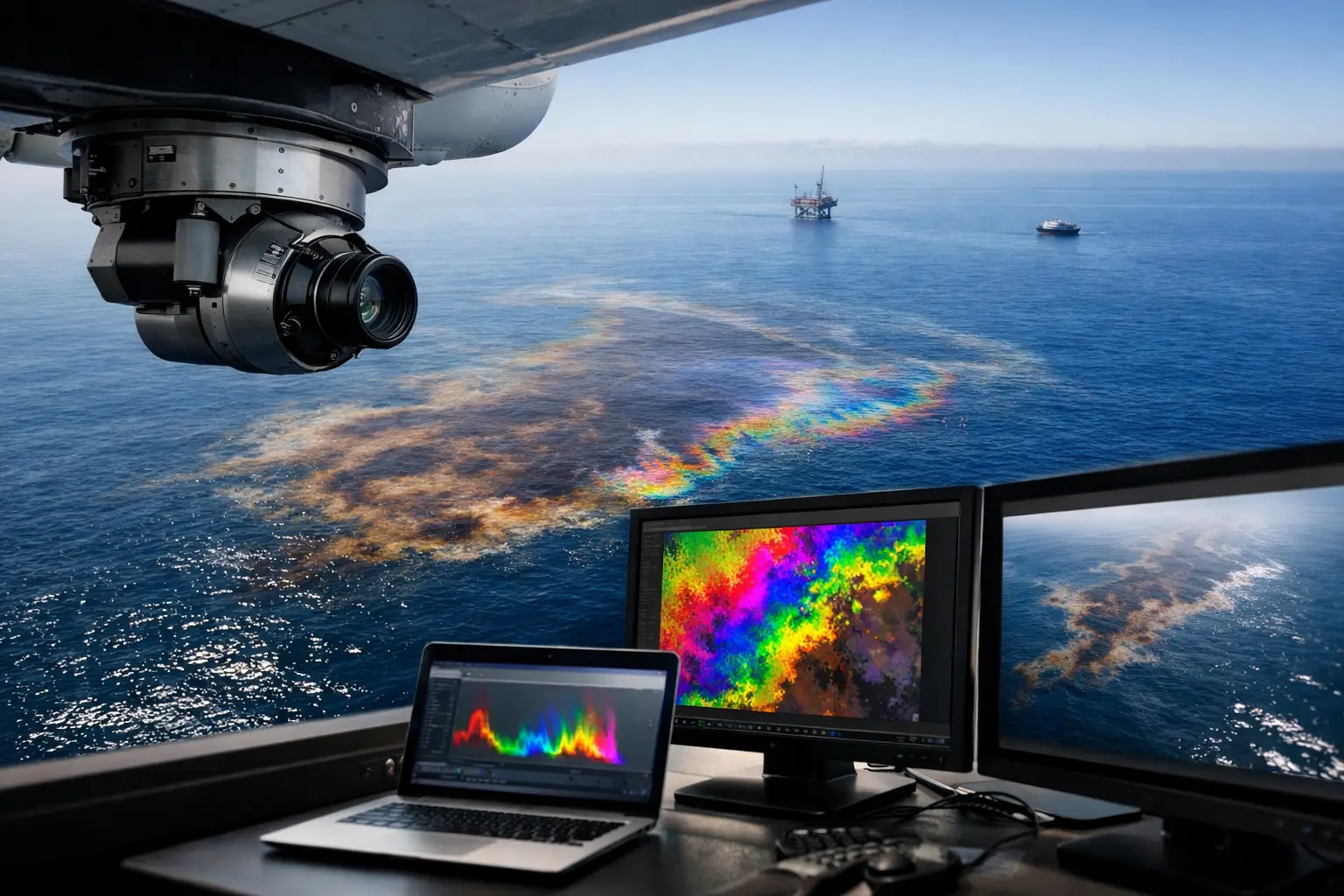 AS-008
Oil Seep Detection Hyperspectral Imaging
Oil seep detection hyperspectral imaging maps surface hydrocarbon signatures with auditable precision for faster exploration screening and risk control.
Read AS-007
Hyperspectral Imaging for Mineral Exploration
Hyperspectral imaging for mineral exploration improves targeting, maps alteration, and reduces field risk with calibrated, auditable data.
Read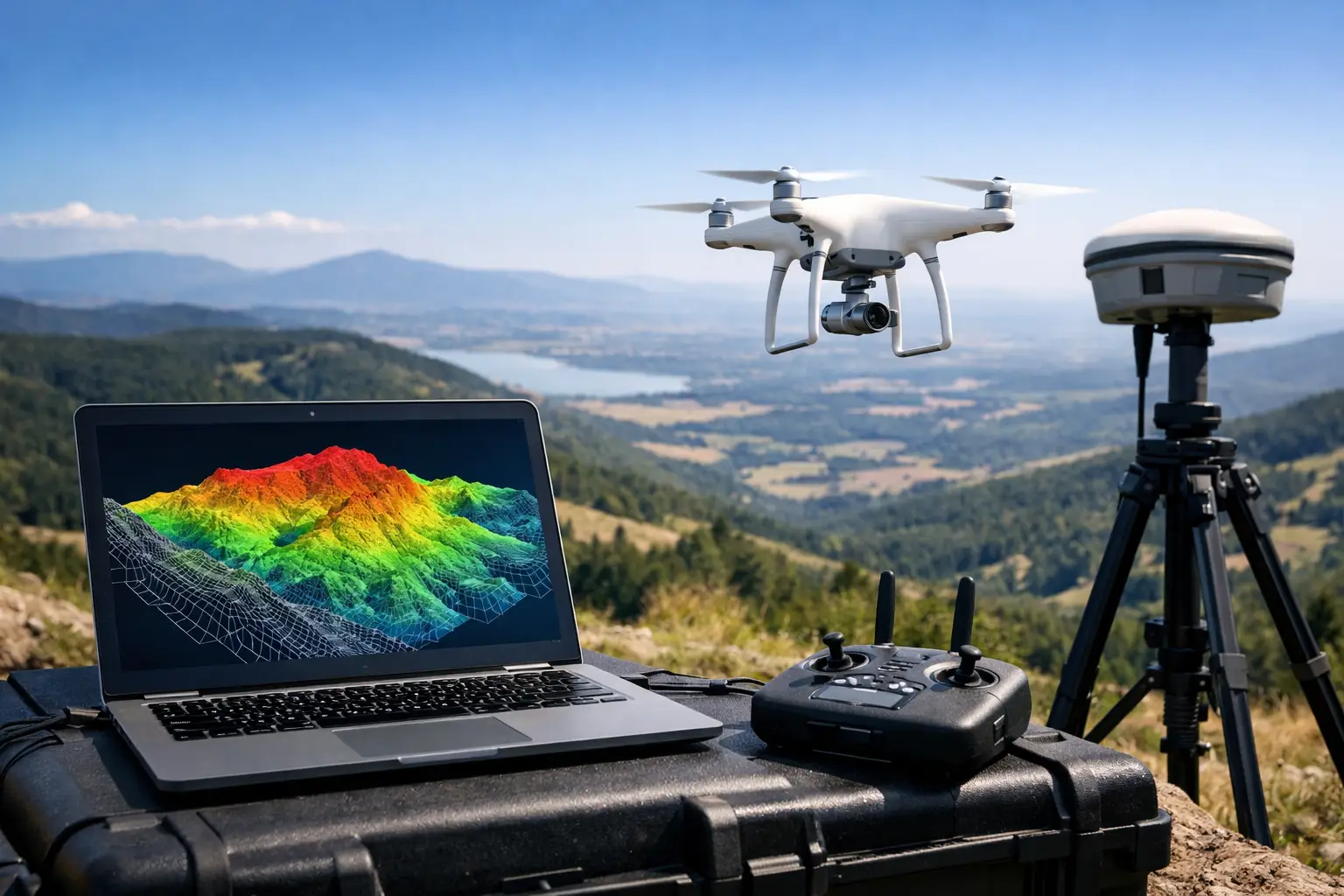 AS-006
Digital Elevation Model From Drone Workflows
Learn how a digital elevation model from drone data is produced, validated, and used for mining, water, and infrastructure decisions.
Read AS-004
Photogrammetry for Construction Planning
Photogrammetry for construction planning improves site modeling, grading, and progress control with fast, auditable spatial data for better decisions.
Read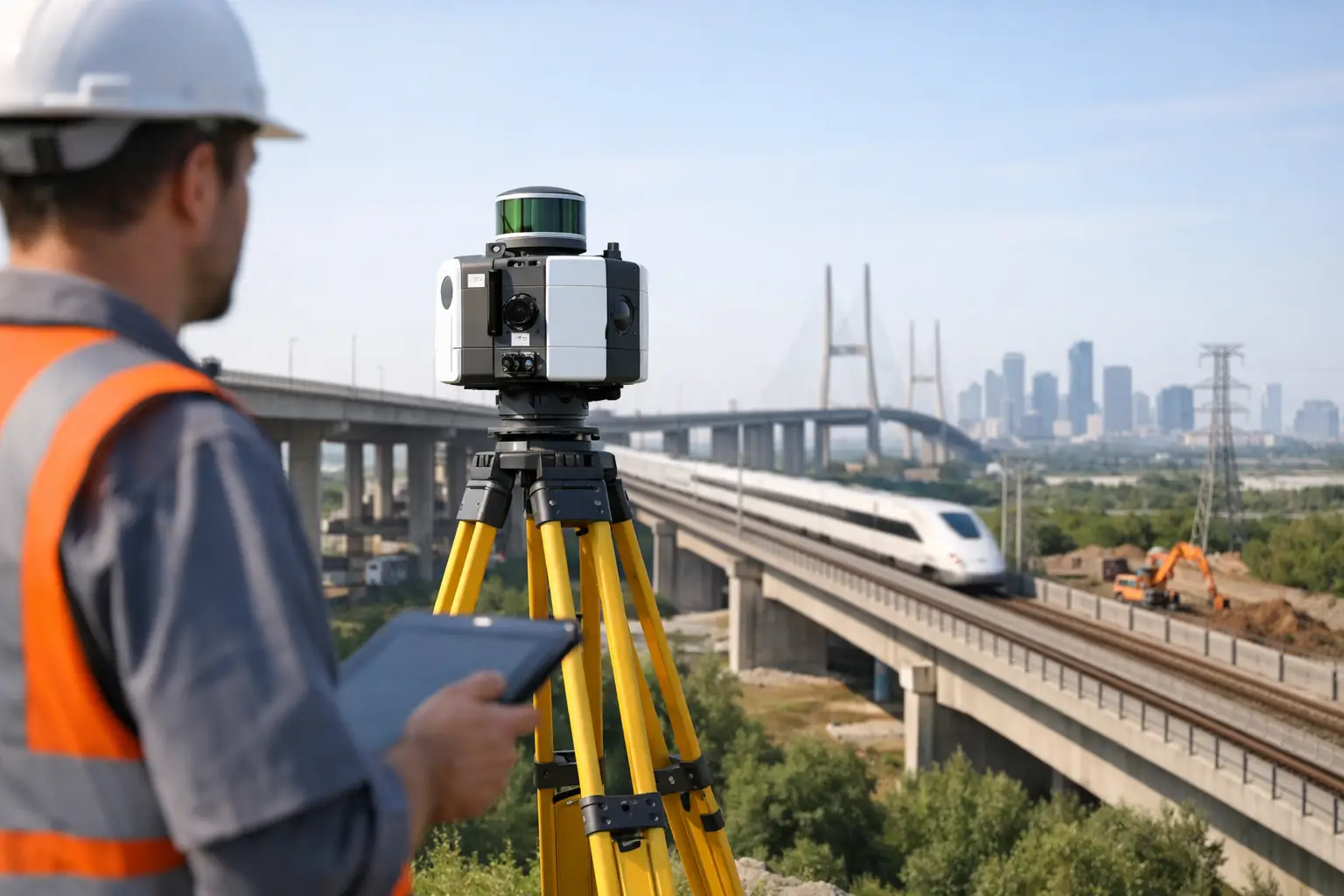 AS-005
LiDAR Survey for Infrastructure That Scales
A lidar survey for infrastructure delivers faster, auditable terrain and asset data for design, maintenance, and risk control across complex projects.
Read AS-003
Drone Electromagnetic Survey: What It Solves
Drone electromagnetic survey delivers faster subsurface intelligence for mining, water, and infrastructure projects with auditable, high-resolution data.
Read AS-002
What Is an Aeromagnetic Survey?
Learn what is an aeromagnetic survey, how it works, what data it produces, and why it matters for mining, water, infrastructure, and energy.
Read AS-001
Drone Geophysical Survey Services Explained
Drone geophysical survey services deliver faster, auditable subsurface intelligence for mining, water, energy, and infrastructure projects.
Read