Exploration programs rarely fail because there is no data. They fail because too much low-confidence data is asked to support expensive decisions. That is what makes a mining target generation case study useful to technical and executive teams alike - it shows how target ranking improves when geophysics, terrain intelligence, and field validation are built into one auditable workflow rather than managed as disconnected work packages.
In arid terrains across the Gulf, the usual constraints are familiar: wide license areas, limited outcrop, difficult access, compressed budget windows, and pressure to reduce time between reconnaissance and drill planning. Under those conditions, target generation is not a desktop exercise. It is a controlled process of reducing uncertainty. The quality of that process depends on sensor fit, survey design, calibration discipline, and how interpreted outputs are integrated into a decision framework that exploration managers can defend.
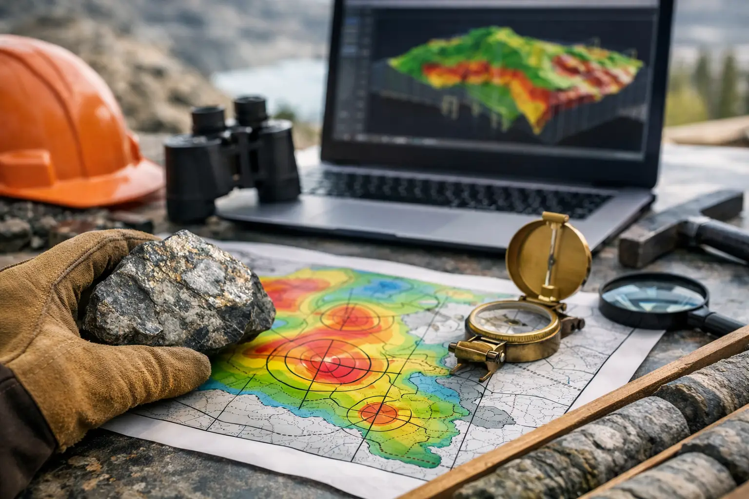
What this mining target generation case study examines
This example reflects a common early- to mid-stage exploration scenario in structurally complex hard-rock terrain. The client objective was not simply to collect airborne data. It was to identify and rank priority zones for follow-up mapping, geochemistry, trenching, and eventual drilling across a large concession where previous regional work had outlined broad prospectivity but had not produced a reliable short list of targets.
The operating problem was straightforward. Legacy datasets existed, but they were inconsistent in resolution, acquired at different times, and difficult to compare directly. Surface mapping was selective because of access and coverage limitations. Ground geophysics would have been too slow to screen the full area efficiently. The client needed a faster method that could produce traceable, decision-grade outputs without waiting for a conventional manned-aircraft campaign.
The survey strategy centered on drone-based magnetic acquisition supported by high-resolution terrain modeling and orthomosaic products. In a comparable deployment profile, Air Solutions would structure the program around calibrated sensor operations, tightly controlled line planning, field QA/QC, and integrated interpretation rather than isolated data delivery. That distinction matters. Raw geophysical grids do not create targets on their own. Targets emerge when magnetic signatures, structural controls, topographic context, and known mineral system indicators are evaluated together.
Project setup and acquisition logic
The concession was first partitioned into domains based on geology, access, and expected structural grain. This step prevented a common mistake in target generation - applying one survey spacing and one interpretive model across terrain that does not behave uniformly. Areas with higher structural complexity and stronger alteration potential were assigned tighter flight line spacing, while lower-priority screening zones were covered at broader intervals to maintain budget discipline.
Magnetic acquisition was planned to optimize anomaly detection over both lithologic boundaries and structurally controlled features such as shears, contacts, fold hinges, and intrusive margins. Terrain data served two purposes. First, it supported safe and consistent low-altitude flight in variable relief. Second, it provided the topographic control needed to separate geological signals from terrain-driven interpretation bias during later review.
Field execution emphasized repeatability. Sensor calibration checks, line tie verification, positional control review, and daily data audits were built into the campaign. In target generation work, these routines are not administrative overhead. Small heading effects, navigation drift, or uncorrected line noise can alter anomaly continuity enough to distort target ranking. A technically attractive map that is not fully auditable is a weak basis for allocation of drill capital.
Once acquisition was complete, magnetic data processing moved through standard correction, leveling, micro-leveling, and enhancement stages. Multiple derivative products were generated, not to create visual complexity, but to expose different geological relationships. Reduced-to-pole equivalents, first vertical derivatives, analytic signal outputs, and tilt-based products each contributed to structural interpretation in different parts of the block. No single transform was treated as definitive. That is an important trade-off. More processed views can sharpen interpretation, but they can also create false confidence if not cross-checked against raw and leveled data.
Interpretation and target generation workflow
The core interpretive task was to convert geophysical patterns into a ranked set of exploration opportunities. That required more than highlighting magnetic highs or lows. The team first established a structural framework by mapping lineaments, offsets, domain boundaries, and magnetic discontinuities. These were then compared with available geological mapping, historical sampling, and known mineral occurrences.
At this stage, several broad zones appeared prospective, but not all prospective zones justified field expenditure. The ranking model therefore used weighted criteria. Structural intersection density, contact proximity, magnetic texture contrast, demagnetized corridors suggestive of alteration, and coincidence with favorable host units each contributed to target score. In some areas, topographic and imagery layers helped eliminate false positives caused by wadi geometry, cultural disturbance, or surface conditions that could mislead a purely geophysical review.
The result was a reduction from a large search space to a smaller portfolio of ranked targets with explicit justification. That shift is where value is created in a mining target generation case study. The purpose is not to prove that every anomaly is mineralized. It is to show that the path from regional ambiguity to focused follow-up is technically controlled, transparent, and fast enough to support project pacing.
Three target classes emerged. The first consisted of structurally focused targets where magnetic breaks, lineament intersections, and mapped alteration indicators aligned. These received the highest priority because they matched the conceptual deposit model and presented multiple coincident indicators. The second class included lithologic contact targets with moderate structural support. These remained valid, but required more field confirmation before trenching or drilling. The third class covered isolated anomalies with attractive amplitude but limited geological context. These were retained as conditional targets, not discarded, but they were moved behind the first two groups in budget sequencing.
What changed after integration
The most important outcome was not simply a map set. It was a better capital allocation sequence. Before the survey, the client faced a broad and weakly ordered prospect inventory. After integrated interpretation, follow-up work could be concentrated on a small number of targets where geological rationale and geophysical evidence were mutually reinforcing.
That distinction has operational consequences. Field teams can be deployed with narrower search windows. Sampling plans become more deliberate. Drill planning, if justified, begins from a structurally informed position rather than from anomaly amplitude alone. For enterprise buyers, this reduces wasted mobilization and improves the audit trail behind each escalation decision.
There was also a timing advantage. Drone deployment shortened the interval between survey design and interpreted output compared with conventional alternatives, particularly in areas where access logistics and aircraft scheduling can delay regional programs. Faster delivery does not automatically mean better decisions, of course. If speed degrades calibration or interpretive rigor, the project simply fails sooner. In this case, speed was useful because it was paired with controlled QA/QC and cross-validation.
Limits, trade-offs, and why they matter
No credible case study should imply that airborne geophysics replaces geology. It does not. Magnetic data is highly effective for mapping structures, lithologic variation, and intrusive relationships, but target confidence still depends on deposit style, weathering profile, remanence behavior, and the quality of existing geological control. In some terrains, electromagnetic or radiometric data would materially improve discrimination. In others, the added cost may not be justified during first-pass screening.
There is also a scale question. Drone systems are well suited to rapid, high-resolution work over defined areas, especially where mobilization speed and low-altitude control matter. For very large regional extents, program design may need a staged approach - broad screening first, then higher-resolution infill over priority corridors. The right answer depends on license size, target model, and how quickly the client intends to move from reconnaissance to drilling.
This is why disciplined target generation is less about technology branding and more about matching sensing architecture to decision stage. A board-approved exploration budget needs defensible priorities. Technical teams need calibrated data, not marketing-grade imagery. Procurement teams need a scope that can be verified against deliverables. When those requirements are aligned from the start, the survey becomes part of a controlled exploration system rather than a stand-alone dataset.
For mining teams working in large, under-resolved concessions, the lesson is practical. Better targets usually come from better integration, not just denser coverage. If acquisition is calibrated, interpretation is cross-validated, and outputs are ranked against a clear geological model, target generation stops being a speculative exercise and starts functioning as a disciplined filter for field capital. The next step is not to ask for more data by default. It is to ask which data will change the ranking with enough confidence to justify action.