Specialized Services
We provide comprehensive aerial surveying and photography services using the latest technology

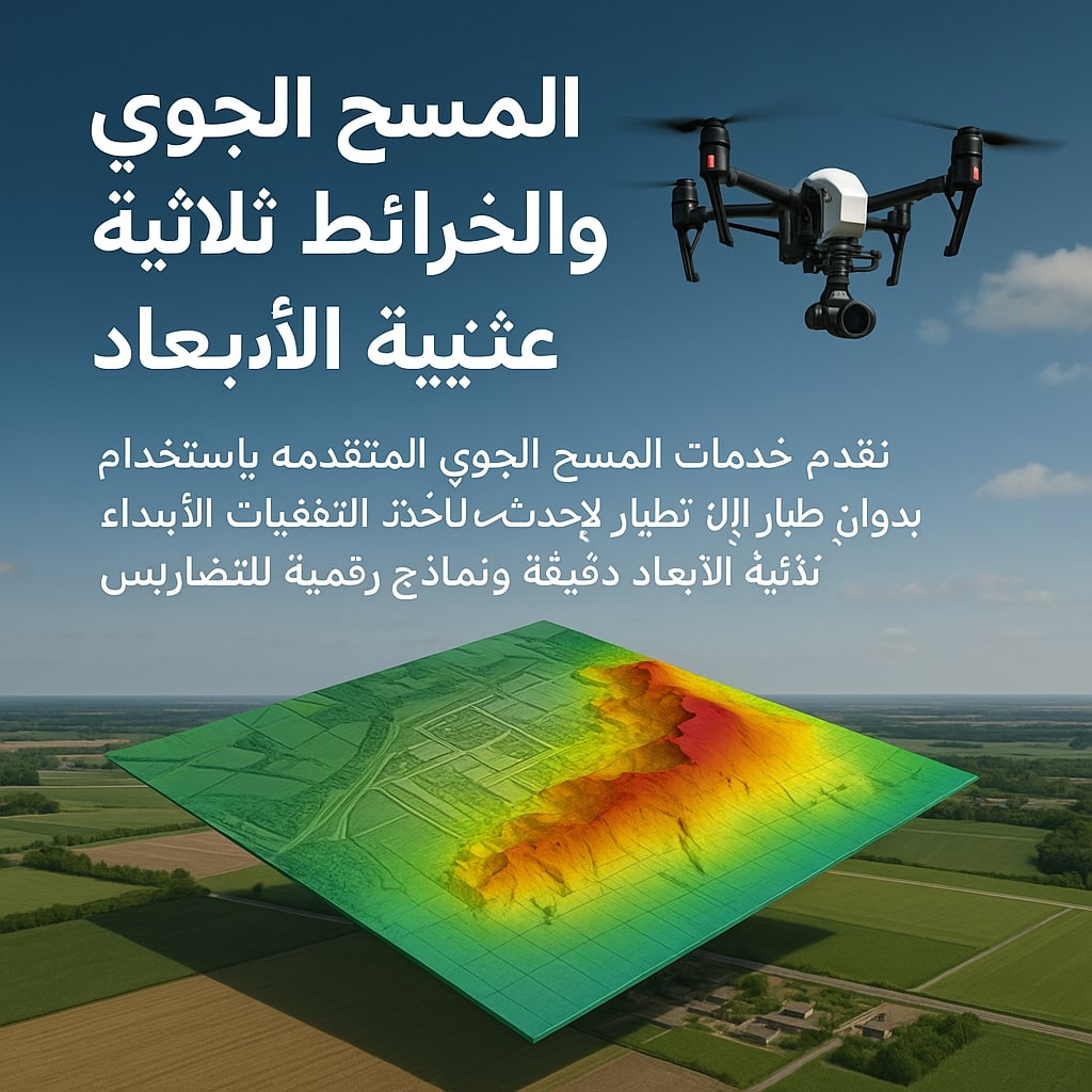
Aerial Survey & 3D Mapping
Service that relies on using drones to photograph areas from above and create accurate 3D models of terrain and landmarks.

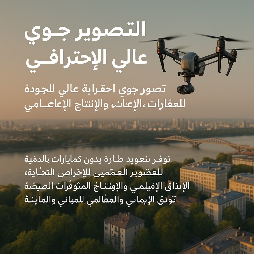
Professional Aerial Photography
Service aimed at producing high-quality aerial photos and videos using drones.

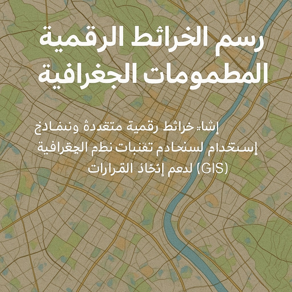
Digital Mapping & Geographic Information Systems
Service that aims to convert aerial images into accurate digital maps that can be input into GIS systems.

Infrastructure & Road Survey
Drones are used to survey and document infrastructure and road projects with high precision.

