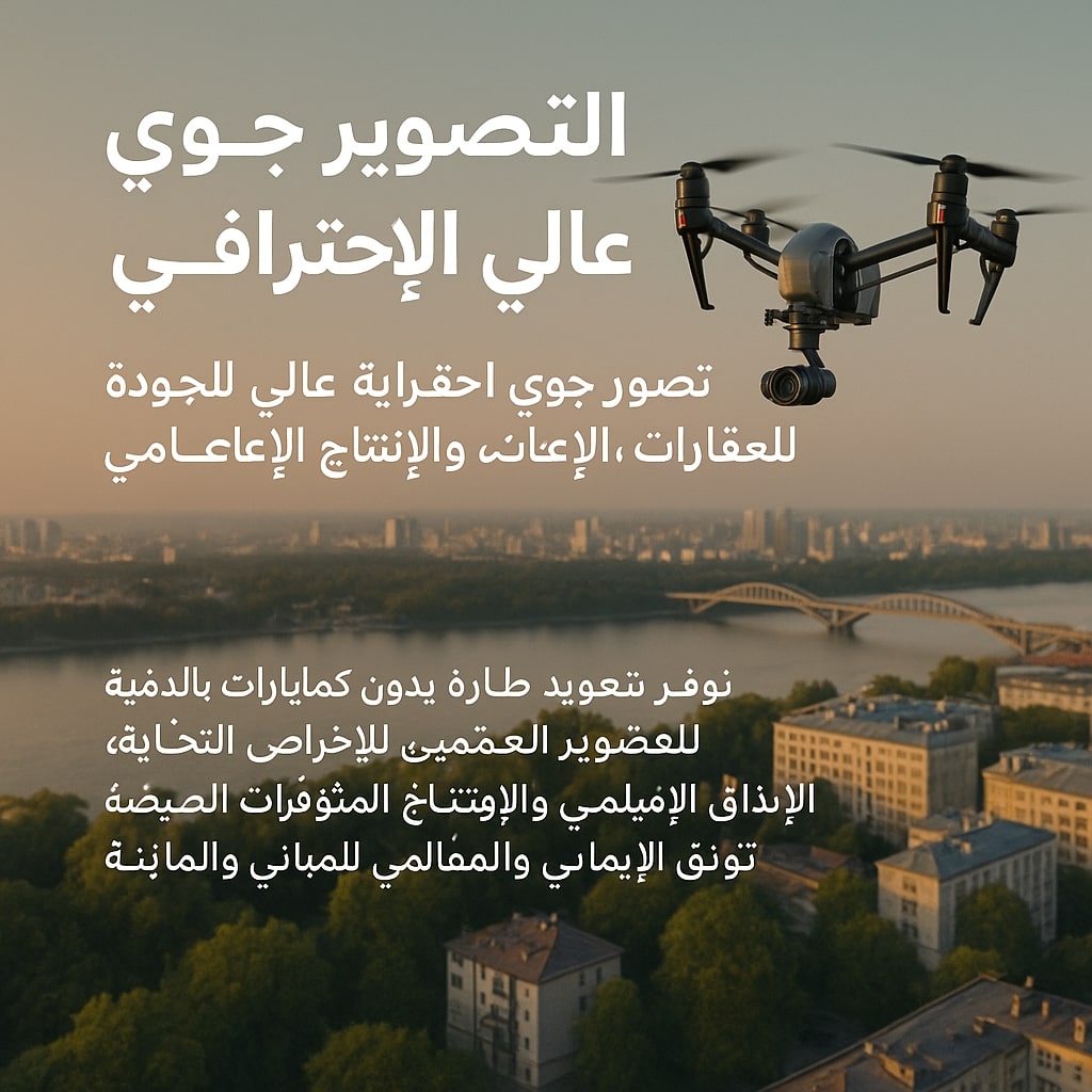
Professional Aerial Photography
Service aimed at producing high-quality aerial photos and videos using drones.
Service Details
Service aimed at producing high-quality aerial photos and videos using drones.
Used in:
- Real estate and tourism marketing
- Project and event documentation
- Media and advertising content production
- Aerial visual documentation of sites and facilities
Related Services
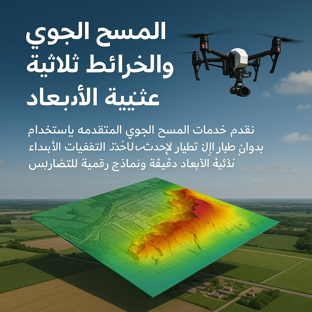
Aerial Survey & 3D Mapping
Service that relies on using drones to photograph areas from above and create accurate 3D models of...
Learn More
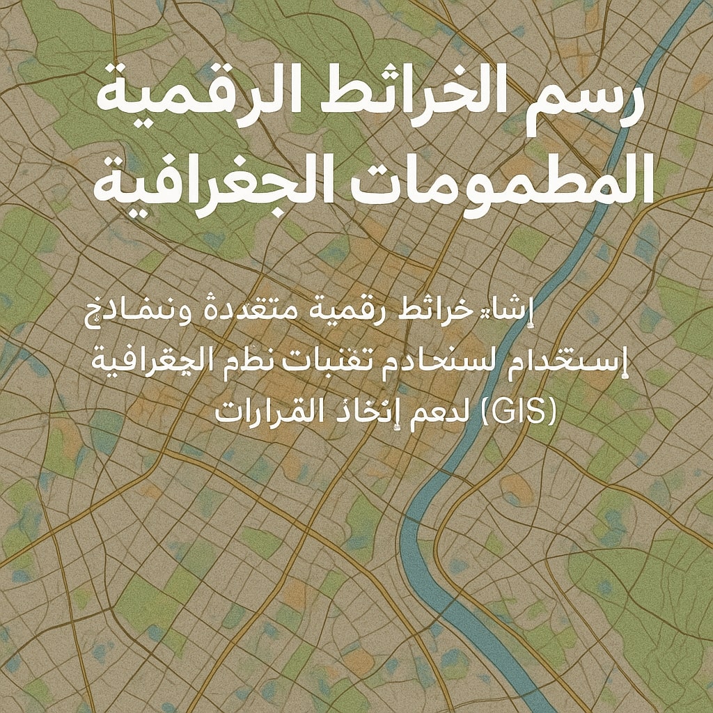
Digital Mapping & Geographic Information Systems
Service that aims to convert aerial images into accurate digital maps that can be input into GIS sys...
Learn More
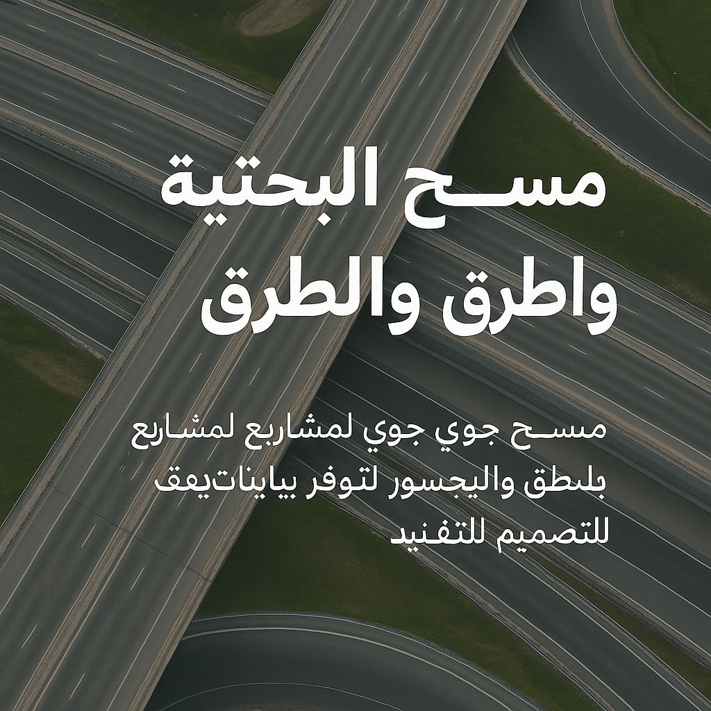
Infrastructure & Road Survey
Drones are used to survey and document infrastructure and road projects with high precision.
Learn More