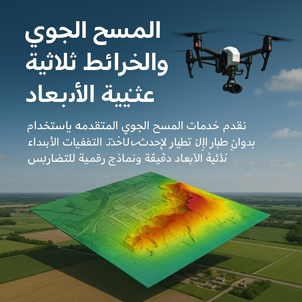
Aerial Survey & 3D Mapping
Service that relies on using drones to photograph areas from above and create accurate 3D models of terrain and landmarks.
Service Details
Service that relies on using drones to photograph areas from above and create accurate 3D models of terrain and landmarks.
This service is used in:
- Urban and engineering planning
- Infrastructure projects
- Measuring volumes and distances with high accuracy
- Topographic documentation of projects
Related Services
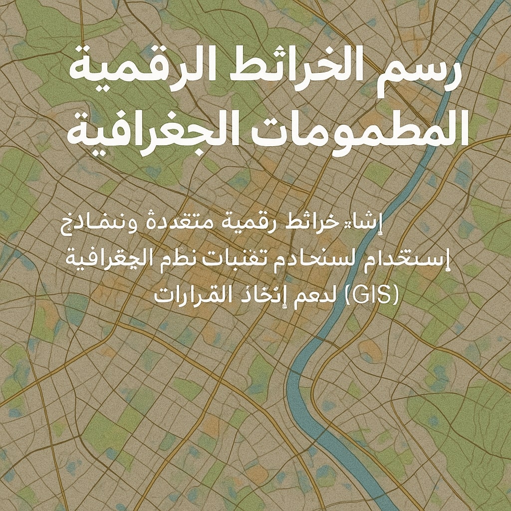
Digital Mapping & Geographic Information Systems
Service that aims to convert aerial images into accurate digital maps that can be input into GIS sys...
Learn More

Professional Aerial Photography
Service aimed at producing high-quality aerial photos and videos using drones.
Learn More

Infrastructure & Road Survey
Drones are used to survey and document infrastructure and road projects with high precision.
Learn More