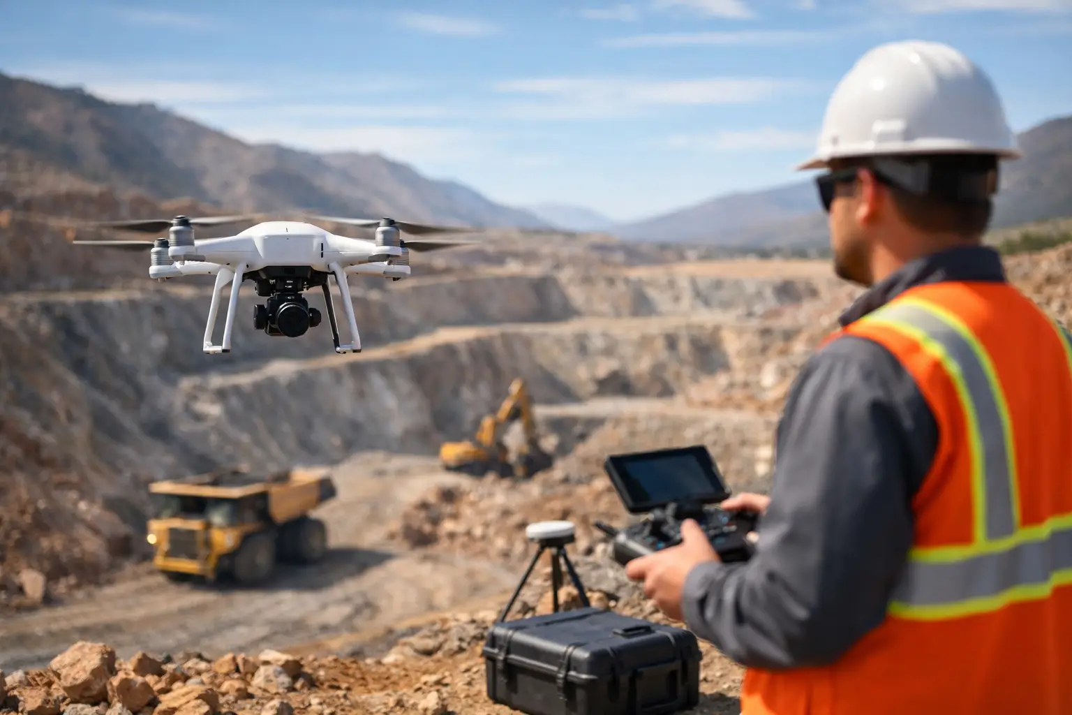
When an exploration program loses weeks waiting for aircraft availability or ground crews to clear difficult terrain, the cost is not only operational. It affects target ranking, drill sequencing, budget control, and board-level confidence in the data package. A drone survey for mining exploration changes that equation by compressing mobilization time, improving spatial resolution, and reducing field exposure while still producing decision-grade geospatial intelligence.
For mining companies and government-backed resource programs, the question is no longer whether drones can support exploration. The real question is where they create the strongest technical and commercial advantage, and where conventional methods still have a place. The answer depends on deposit style, terrain, sensor requirements, permitting conditions, and the level of interpretation expected from the contractor.
Where a drone survey for mining exploration adds value
The strongest case for drone deployment appears early in the exploration cycle, when teams need rapid, calibrated coverage over priority blocks without committing the cost and lead time of manned aircraft. This is especially relevant in remote desert environments, structurally complex outcrops, escarpments, and areas with restricted ground access.
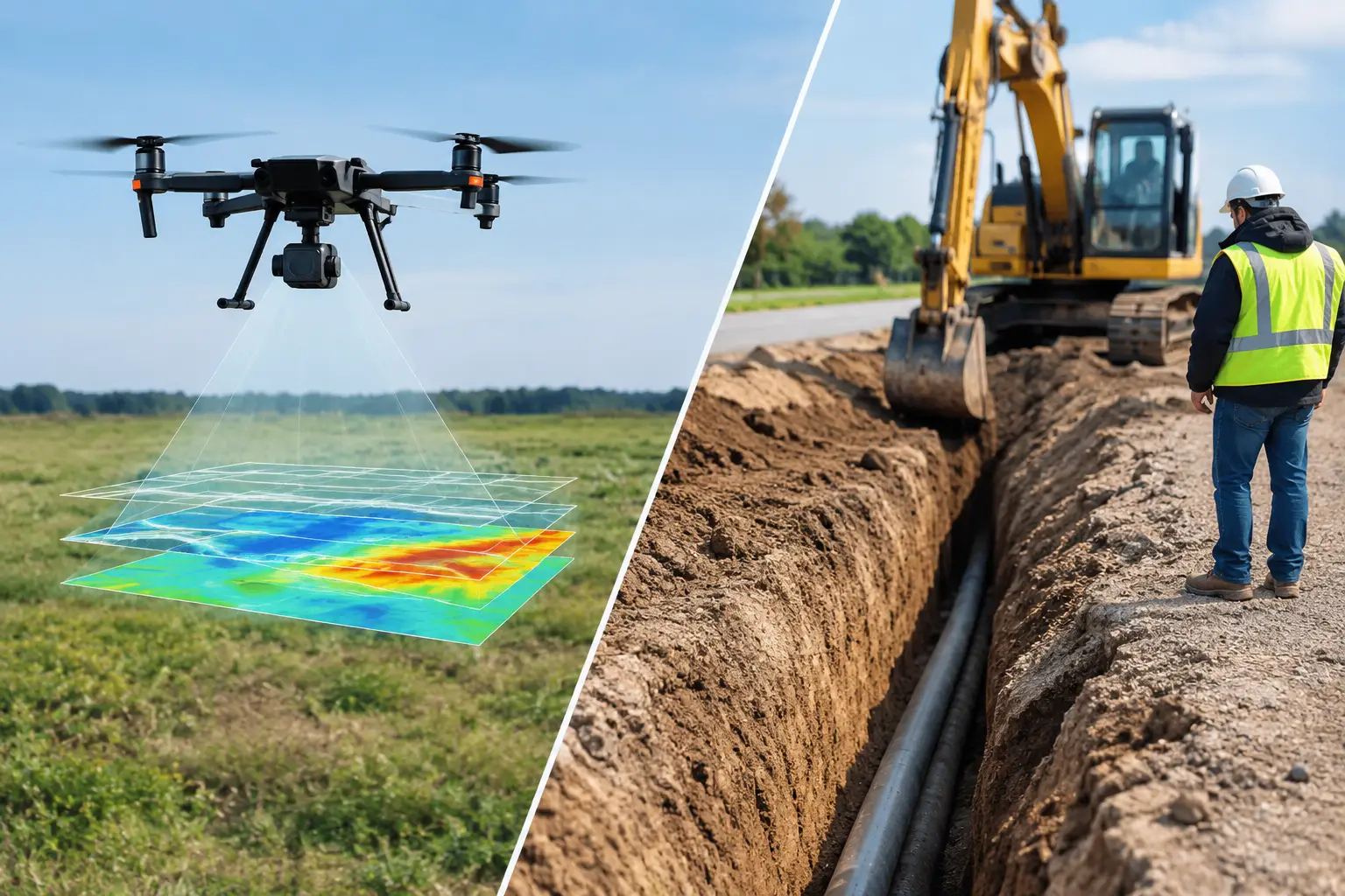
In practical terms, drone-based surveys help shorten the interval between target concept and field validation. High-resolution topography, orthomosaics, magnetic data, electromagnetic responses, radiometric signatures, and hyperspectral indicators can be acquired over the same area and aligned into a single interpreted framework. That matters because exploration decisions are rarely made from one dataset alone. Structural controls, alteration patterns, surface geology, drainage behavior, and magnetic trends need to be read together.
The technical advantage is not just speed. Flying lower and slower than conventional aircraft often supports finer line spacing, stronger near-surface sensitivity, and better definition of subtle anomalies. For greenfield and brownfield programs alike, that can improve confidence in target discrimination before trenching, sampling, or drilling.
The data that matters most in exploration
Mining exploration does not buy drone flight hours. It buys interpreted evidence. That distinction is critical when evaluating providers.
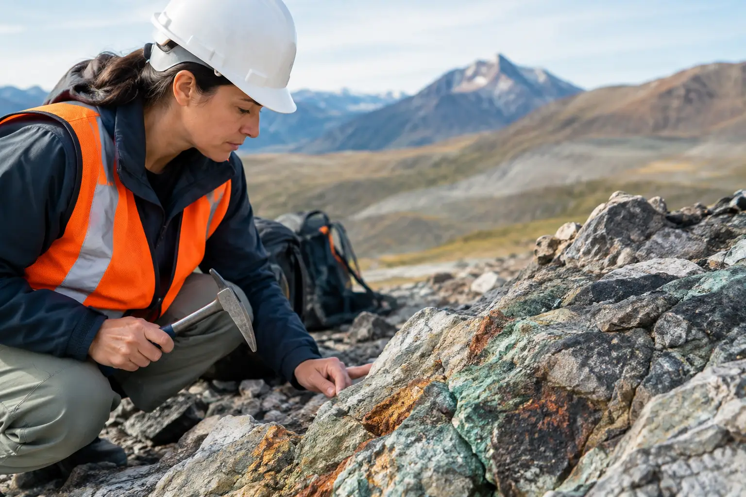
A competent survey design starts with the exploration hypothesis. If the objective is mapping lithological contacts, fracture corridors, and historical workings, LiDAR and photogrammetry may be the lead datasets. If the program is screening for structurally controlled mineralization or buried features, aeromagnetic and electromagnetic methods may take priority. If alteration mineralogy is a key vector, hyperspectral imaging becomes more relevant. In uranium and certain polymetallic contexts, radiometric mapping can contribute valuable context, provided calibration and ground control are handled correctly.
This is where multi-sensor fusion becomes commercially significant. Individually, each sensor produces partial evidence. Combined and cross-validated, they can materially improve target ranking. A magnetic low without topographic correction, or a spectral anomaly without structural context, can mislead an exploration team. The value comes from integrating the layers into a traceable interpretation workflow.
What good execution looks like
A credible drone survey for mining exploration follows the same discipline expected from any other mission-critical technical service. The platform may be smaller than a crewed aircraft, but the governance should not be lighter.
Survey planning begins with area definition, line orientation, flight altitude, terrain clearance, sample rate, base station requirements, and expected depth of investigation. In mining applications, line direction should be aligned to geological strike and target geometry rather than chosen for flight convenience. That sounds obvious, but it is where poor survey design often starts.
Calibration is equally important. Magnetometers, electromagnetic systems, LiDAR payloads, GNSS/INS units, and radiometric sensors all require pre-flight and in-field checks. Without these controls, the resulting dataset may still look visually convincing while failing technical review. Enterprise buyers should expect documented QA/QC, sensor calibration records, positional validation, noise filtering logs, and a clear chain of custody from acquisition through processing.
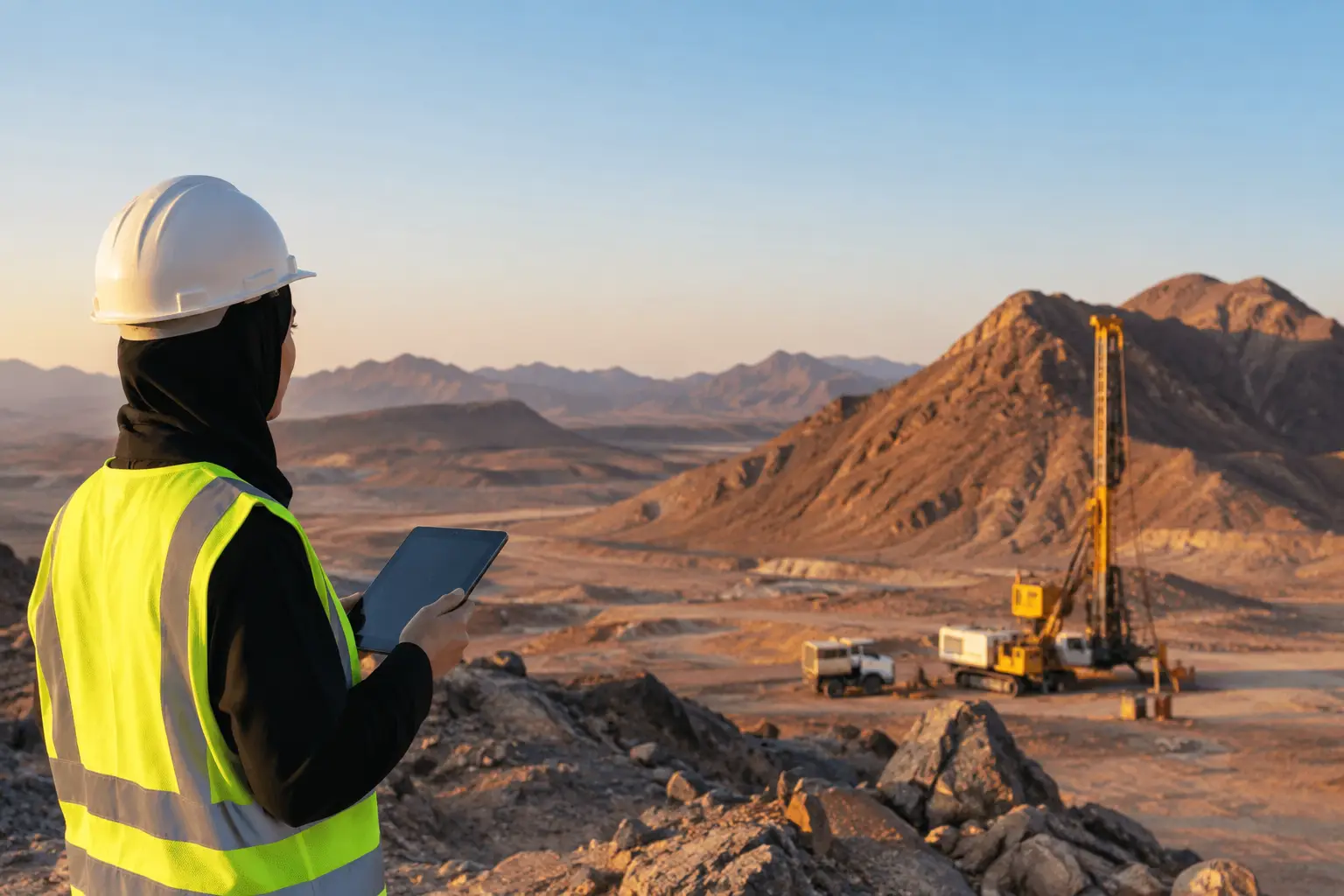
Field execution also has to match the environment. In the Gulf region, high temperatures, dust loading, wind variability, and long-distance logistics are not minor operational details. They affect battery efficiency, sensor stability, data continuity, and daily production rates. A contractor that is not configured for desert conditions will struggle to maintain consistency across large blocks.
Trade-offs decision-makers should evaluate
Drone surveys are not a universal replacement for every exploration method. They are highly effective within the right operational envelope.
For large regional campaigns covering thousands of square kilometers, manned aircraft may still be the more efficient choice for broad reconnaissance, particularly when payload weight, endurance, or regulatory airspace conditions favor conventional platforms. Drone systems tend to perform best in focused exploration blocks, pilot programs, infill surveys, near-mine expansion studies, and areas where terrain or safety constraints limit ground or aircraft access.
Depth penetration is another issue that depends on the method. Drone-mounted magnetic surveys can be excellent for mapping structural patterns and near-surface contrasts, but they do not replace drilling or every form of deeper geophysical investigation. Electromagnetic payload capability continues to improve, yet survey objectives must still be matched to realistic depth, conductivity, and noise expectations.
There is also a trade-off between data density and program speed. Tighter line spacing and lower altitude generally improve detail, but they increase flight time and processing complexity. The right specification is the one that answers the geological question without creating unnecessary acquisition cost.
Why auditable outputs matter more than raw files
Exploration programs are increasingly reviewed by investment committees, joint venture partners, regulators, and technical due diligence teams. In that context, raw geospatial files are not enough.
What decision-makers need are audited deliverables: processed grids, corrected elevation models, anomaly maps, structural interpretations, target-ranking layers, and reporting that documents methods, limitations, and confidence levels. A dataset should be defensible months later when drill results are reviewed against the original targeting assumptions.
That is why reporting format matters almost as much as acquisition quality. If the contractor cannot present survey parameters, correction methods, calibration records, and interpretation logic in a way that your geology and procurement teams can verify, the operational speed of the survey has limited value. Fast data that cannot survive technical scrutiny usually becomes rework.
Use cases with immediate exploration impact
In early-stage prospecting, drones can quickly establish a high-resolution terrain and geology baseline across a license area, especially where existing maps are coarse or outdated. That gives exploration managers a cleaner framework for planning traverses, geochemical sampling, and follow-up geophysics.
In brownfield settings, the value often shifts toward infill intelligence. Historical workings, waste dumps, altered zones, and structurally offset mineralization can be re-evaluated with finer topographic and geophysical resolution than legacy campaigns delivered. This is particularly useful where prior datasets were acquired at wider line spacing or before modern positioning standards.
For pre-drill planning, integrated drone data can reduce collar risk by identifying unstable slopes, drainage channels, access constraints, and areas where geophysical anomalies align with mapped structure. That does not eliminate uncertainty, but it usually improves the quality of drill targeting and logistics planning.
What enterprise buyers should ask before procurement
The most revealing procurement questions are rarely about the drone itself. They are about the survey system, interpretation capability, and evidence trail.
Buyers should ask how sensor calibration is documented, how positional accuracy is verified, what QA/QC thresholds trigger reflights, and whether data processing is standardized or improvised project by project. They should also ask who interprets the results. A technically clean dataset still has limited value if interpretation is outsourced without domain context in mining geology.
It is also worth asking whether the provider can align outputs with internal exploration workflows. Some clients need GIS-ready layers for rapid internal review. Others require formal technical reports suitable for investment approvals, government submissions, or integration into larger resource development programs. The best providers are structured to support both.
For organizations operating in Saudi Arabia and the wider Gulf, local execution maturity matters as well. Airspace coordination, mobilization speed, environmental conditions, and stakeholder reporting standards all affect delivery. A contractor that understands national development priorities, permitting realities, and industrial project controls will usually execute with less friction.
The strategic case for drone-led exploration intelligence
Mining exploration has always been a race between uncertainty and capital discipline. The companies that advance strongest are not simply collecting more data. They are collecting the right data faster, validating it properly, and converting it into decisions before the opportunity window narrows.
That is the real value of a drone survey for mining exploration. It is not a technology story. It is an execution story - faster mobilization, safer acquisition, denser coverage, and fully traceable outputs that can stand up to technical review. When the survey is designed around the geology and delivered as interpreted intelligence rather than raw sensor files, it becomes a practical tool for reducing exploration risk.
For project owners weighing the next campaign, the best starting point is simple: define the decision that the survey must support, then specify the sensors, controls, and reporting standard needed to defend that decision later.