Radiometric
Mapping.
Gamma-ray spectrometry for surface lithology classification, alteration mapping, and U/Th/K ratio analysis. Continuous-window NaI scintillometer flown at low altitude for high-resolution radiogenic surveys.
- Detector
- NaI(Tl) 4–8 L scintillometer
- Channels
- 256 (continuous spectrum)
- Energy range
- 0–3 MeV
- Line spacing
- 50–200 m
- Coverage
- ~70 km²/day
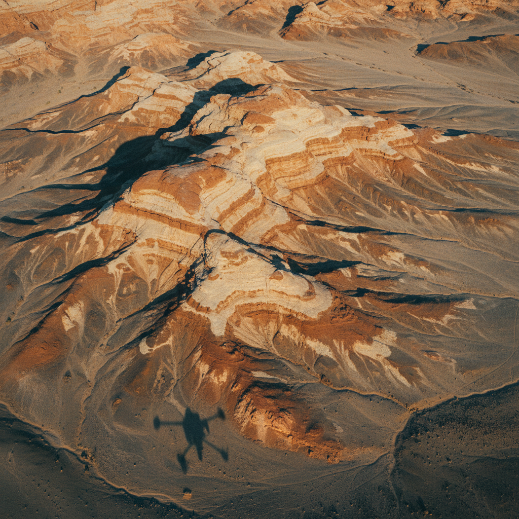
Surface chemistry at flight altitude.
Radiometric mapping resolves the natural gamma emissions of potassium (K), thorium (Th), and uranium (U) — three of the most diagnostic elements for surface lithology, alteration mineralogy, and weathering processes. The technique is fast, non-invasive, and works through thin regolith and vegetation cover.
Our airborne system captures 256-channel continuous gamma spectra at low altitude. Spectra are corrected for altitude attenuation, atmospheric radon, and cosmic background; then converted to apparent K/Th/U ground concentrations.
Output is a K/Th/U ternary composite map plus individual element grids — used for lithological discrimination, alteration mapping, and as an input layer to broader exploration interpretation.
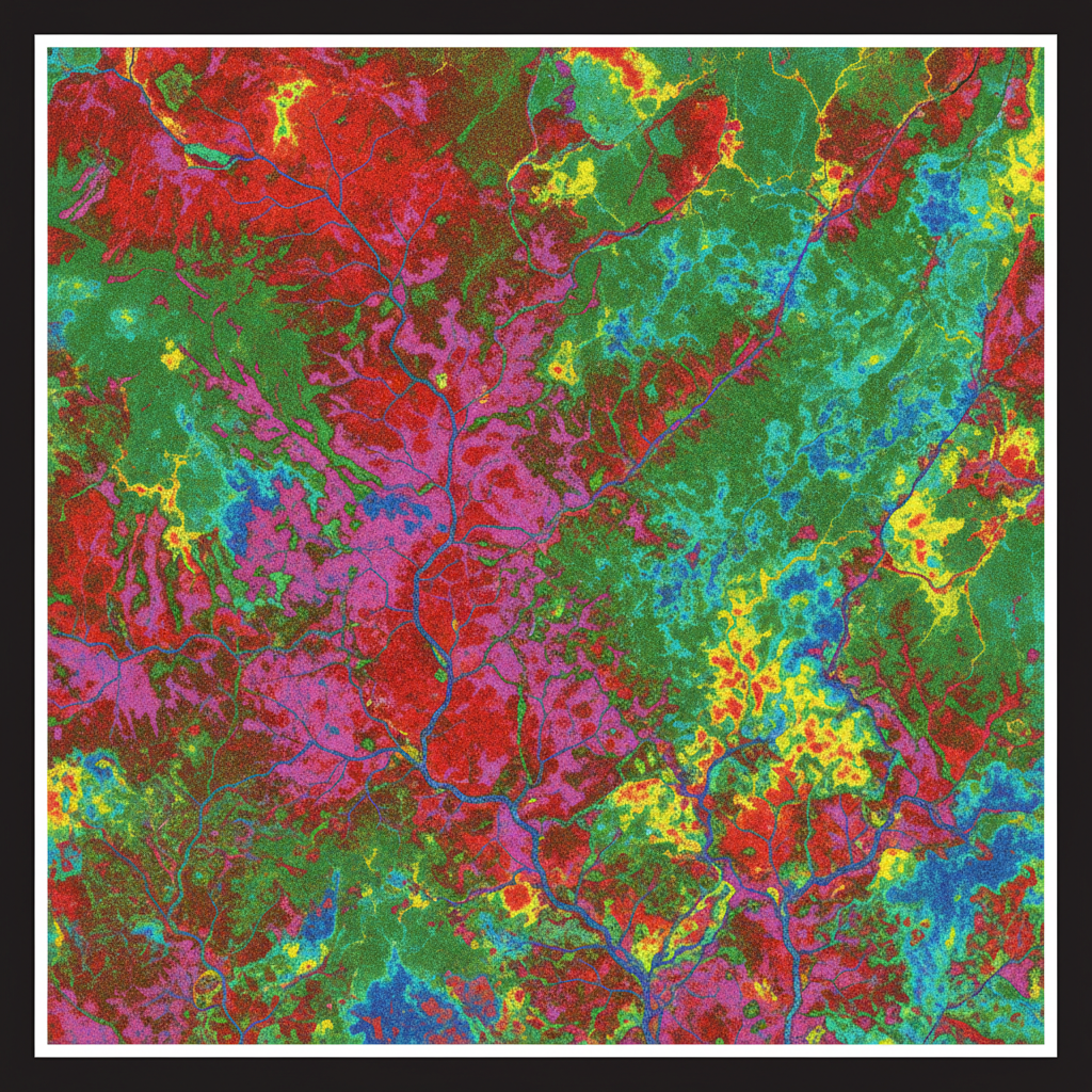
K-Th-U ternary map
RGB composite of potassium, thorium, and uranium ground concentrations — diagnostic of lithology and alteration at surface.
Alteration index
Cosmic + radon stripping → altitude attenuation correction → window stripping → conversion to apparent ground concentration → ternary RGB composite + ratio grids.
From gamma counts to lithology map.
Calibration & Block Design
Detector calibrated on certified pad. Line spacing and altitude tuned to expected anomaly scale.
Airborne Acquisition
Low-altitude tight-grid flight with continuous 256-channel spectrum logging.
Spectral Processing
Cosmic and radon background stripped, altitude attenuation corrected, window stripping applied to extract K/Th/U.
Interpretation & Report
Ternary composite, ratio analysis (Th/K, U/Th), lithology classification, alteration map. Integration with magnetic context for full interpretation.
What you receive.
K, Th, U concentration grids
Three separate grids in apparent ground concentration (%K, ppm Th, ppm U).
Ternary composite
RGB composite of K-Th-U for visual interpretation.
Ratio grids
Th/K, U/Th, U/K ratios for alteration discrimination.
Lithology classification
Supervised classification against client geology.
Alteration index map
Derived alteration index highlighting hydrothermal zones.
Final report + QA/QC log
PDF report, calibration certificates, processing log, chain of custody.
Where this service is deployed.
Map your radiometry.
Share your block and geological objective. We respond with detector spec, line spacing, and timeline within 48 hours.