Environment &
Agriculture.
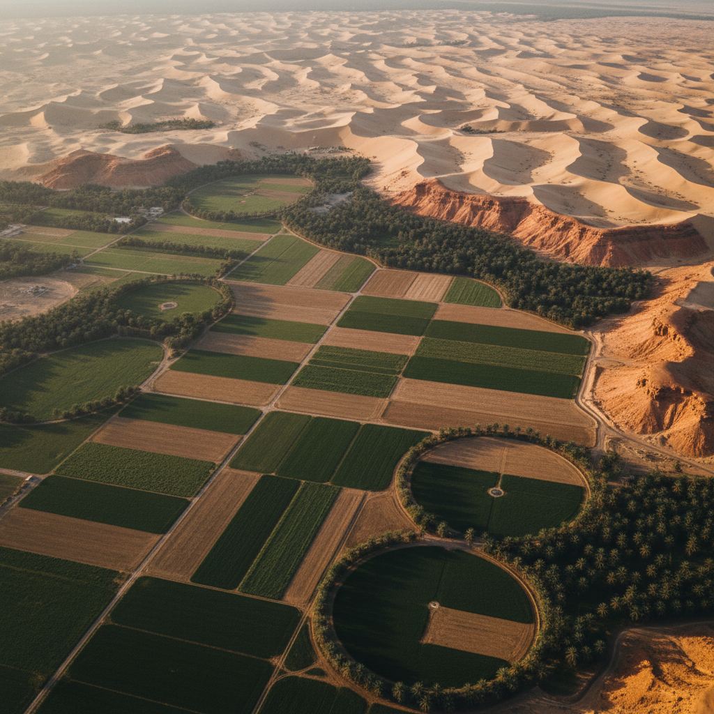
Hyperspectral and multispectral imagery for vegetation health, salinity mapping, soil classification, and environmental impact baselining — supporting sustainable agriculture and regulatory ESG programs across the Kingdom.
Environmental intelligence at programme scale.
Vision 2030 commits Saudi Arabia to environmental stewardship — sustainable agriculture, dryland restoration, biodiversity protection, and rigorous environmental impact assessment across megaprojects. Each rests on a defensible geospatial baseline.
Hyperspectral imagery captures the spectral signatures of vegetation stress, soil chemistry, salinity, and surface contamination at sub-metre resolution. Combined with multispectral indices (NDVI, NDWI, etc.), the output is a per-pixel environmental classification ready for regulatory submission.
We deliver baselines that survive technical review — calibrated, traceable, and cross-validated against ground-truth wherever client teams are operating.
What we solve.
Vegetation stress
Hyperspectral red-edge signatures flag stress before visible symptoms.
Soil salinity mapping
VNIR + SWIR signatures separate saline-affected from healthy soils.
Land-use classification
Multi-spectral classification supports planning and ESG reporting.
Contamination plumes
Hyperspectral signatures of industrial or agricultural contamination.
Biodiversity baselines
Pre-development surveys establish defensible biodiversity baselines.
Irrigation efficiency
NDVI + soil moisture proxy maps support irrigation optimisation.
Capabilities for this sector.

Vegetation health map
Per-pixel classification separating healthy crops, water-stressed zones, and bare soil — direct input to irrigation optimisation and ESG reporting.
Baseline your land.
Share your AOI and environmental objective. We respond with system selection, calibration plan, and timeline within 48 hours.