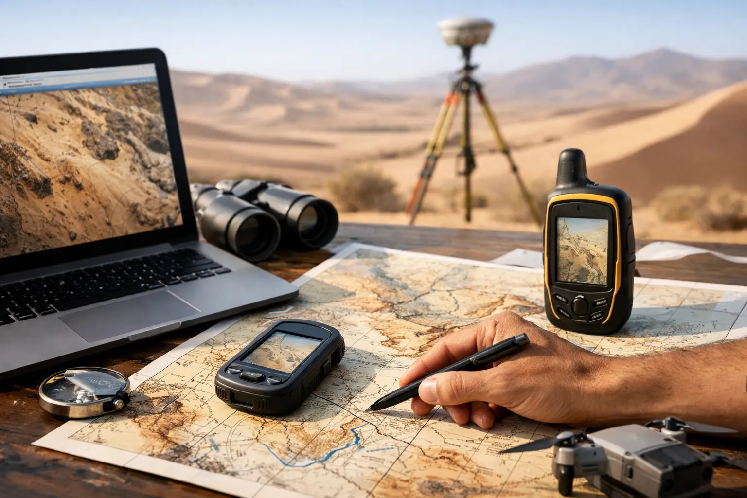
A desert survey fails long before the aircraft launches if the workflow was built for temperate terrain. Low texture, high reflectance, thermal instability, sparse ground control, and rapid visibility changes can degrade positional accuracy and corrupt interpretation if acquisition and processing are not designed for arid environments. The best mapping workflows for deserts are therefore not generic drone routines adapted at the margins. They are purpose-built, sensor-led, and tightly controlled from mission planning through final deliverable validation.
What makes desert mapping workflows different
Desert conditions punish assumptions. Standard photogrammetry workflows often struggle over homogeneous sand sheets, dune fields, salt flats, and rock surfaces with limited visual contrast. GNSS performance may remain strong in open terrain, but the absence of stable reference features can make quality control harder, especially when projects span remote corridors or undeveloped concessions. Windblown dust, heat shimmer, and strong midday solar angles also affect data consistency in ways that many off-the-shelf workflows do not handle well.
This is why the best mapping workflows for deserts start by defining the decision that the map must support. A mining operator evaluating structural controls needs a very different acquisition plan from a utility planner mapping a linear corridor, or a water authority targeting paleochannels and recharge zones. In desert environments, sensor selection and flight geometry should follow the problem, not the platform.
The workflow starts with mission design, not flight execution
For enterprise projects, mission design is the first control gate. The operator should establish survey objectives, required spatial resolution, vertical and horizontal tolerances, target classification outputs, and validation criteria before mobilization. That sounds obvious, but desert projects often fail because teams chase coverage first and specification later.
A disciplined workflow usually begins with a baseline site assessment using existing DEMs, geological mapping, utility records, prior airborne geophysics, and access constraints. From there, acquisition parameters are set around sun angle, seasonal dust exposure, surface type, line orientation, overlap, and control strategy. In dune terrain, for example, line direction relative to dune strike matters because it affects shadow behavior, tie point quality, and the interpretability of slope and crest morphology.
For long linear assets such as pipelines, roads, transmission corridors, or utility easements, corridor segmentation is essential. Breaking the mission into auditable blocks improves battery planning, airspace coordination, calibration checks, and downstream data reconciliation. It also reduces the operational risk of finding a systemic error only after a full campaign has been completed.
Photogrammetry works in deserts, but only when the surface supports it
Photogrammetry remains cost-effective for broad topographic coverage, stockpile estimation, route planning, and visual site documentation. But in deserts, it has clear constraints. Uniform sand, bright evaporite surfaces, and low-feature alluvial plains can reduce match-point density and weaken model stability. If a project team expects centimeter-grade results from RGB imagery alone over these surfaces, the workflow is already misaligned.
The better practice is to treat photogrammetry as one layer in a multi-sensor workflow. Where texture is sufficient, high-overlap imagery paired with calibrated camera parameters and rigorous ground control can produce reliable orthomosaics and surface models. Where texture collapses, LiDAR or terrain-constrained GNSS control should take priority. The trade-off is straightforward: imagery can be faster and lower cost, but deserts often make it less deterministic.
Timing matters as much as equipment. Early morning and late afternoon can improve surface contrast, yet low-angle shadows may distort interpretation in rocky terrain. Midday reduces shadow length but increases reflectance issues and atmospheric instability. There is no universal best practice. The correct window depends on whether the project prioritizes topographic fidelity, visual interpretability, or classification consistency.
LiDAR is often the anchor sensor in desert terrain
If the objective is dependable terrain modeling across mixed desert surfaces, LiDAR is often the anchor sensor because it is less dependent on image texture. In rocky wadis, escarpments, excavation sites, and infrastructure corridors, LiDAR provides more consistent elevation capture and cleaner breakline definition than imagery-only workflows. It is particularly useful where engineering-grade surface models are required for drainage analysis, cut-and-fill planning, or route optimization.
That does not mean LiDAR automatically solves every desert mapping problem. Dust loading in the air column, platform vibration, poor boresight calibration, and weak GNSS/IMU integration can still degrade results. The workflow therefore needs pre-flight calibration, in-flight verification, and post-flight strip alignment checks that are documented and repeatable. Decision-makers should ask whether the vendor can demonstrate cross-validation between LiDAR surfaces, check points, and any parallel imagery products.
A mature desert workflow also uses LiDAR strategically rather than universally. For some projects, LiDAR should cover critical engineering zones while photogrammetry handles the wider context area. That blend usually provides a better cost-to-information ratio than forcing one sensor across all terrain types.
Geophysics and hyperspectral data require different control logic
Many desert projects are not just mapping terrain. They are mapping targets that matter commercially: structural trends, conductive zones, alteration signatures, utility alignments, groundwater indicators, and near-surface material contrasts. In these cases, the workflow has to integrate geospatial products with geophysical and spectral acquisition rather than treating them as separate campaigns.
Aeromagnetic and electromagnetic surveys, for example, demand precise line control, altitude discipline, sensor calibration, and diurnal corrections. Their value is not in coverage alone but in whether the processed outputs are stable enough to support geological interpretation and drill targeting. Hyperspectral and radiometric workflows introduce their own constraints around illumination conditions, calibration panels, atmospheric correction, and ground truthing.
This is where desert mapping becomes an intelligence workflow rather than a mapping workflow in the narrow sense. Surface models, lineament extraction, magnetic derivatives, conductivity sections, spectral anomaly mapping, and field validation need to be coordinated under one QA/QC framework. If each dataset is processed in isolation, interpretation confidence drops. If they are co-registered, cross-validated, and delivered against a clear use case, the data becomes decision-grade.
Ground control and QA/QC are the difference between attractive data and defensible data
In desert operations, good-looking outputs are easy to overvalue. A sharp orthomosaic or dense point cloud can still contain positional drift, surface warping, or classification errors that make it unsuitable for engineering or investment decisions. The best mapping workflows for deserts therefore place QA/QC at the center of execution, not at the end.
That means establishing control networks appropriate to the terrain and project class, documenting sensor calibration status, logging weather and visibility conditions, validating sample areas during acquisition, and maintaining a full audit trail from raw data to interpreted deliverables. Check points should be independent from control points. Flight logs should align with processing records. Any resampling, filtering, or interpolation steps should be traceable.
For institutional buyers, this is more than technical hygiene. It affects procurement risk. A fully auditable workflow makes it easier to defend design decisions, reserve estimates, route alignments, and environmental assessments in front of regulators, investors, and internal review boards.
The strongest workflow is usually multi-sensor and staged
Single-pass thinking rarely performs well in deserts. The stronger model is staged acquisition. A rapid first campaign establishes terrain, access, and broad anomalies. A second, narrower campaign targets zones that justify higher resolution or different sensing modalities. This reduces wasted coverage, improves budget efficiency, and concentrates detail where it has the highest operational value.
For mining, that may mean combining LiDAR base mapping with magnetic or electromagnetic targeting and then adding hyperspectral analysis over specific alteration corridors. For water resources, it may mean terrain and drainage mapping first, followed by geophysical investigation of paleochannels or fracture-controlled groundwater systems. For infrastructure, it often means high-confidence corridor mapping first and localized high-density capture around crossings, substations, or complex construction interfaces.
This is the operating logic that companies such as Air Solutions bring to harsh-environment projects: deploy quickly, match the sensor stack to the asset or resource question, and deliver interpreted outputs that technical and executive teams can act on without reconstructing the workflow themselves.
What buyers should ask before approving a desert mapping program
The practical question is not whether a vendor can fly in desert conditions. Many can. The more relevant question is whether the workflow was engineered for the terrain, the asset class, and the final decision. Buyers should probe how the team handles low-texture surfaces, what independent validation is built into the program, how sensor fusion is managed, and whether final products are delivered as raw layers or as interpreted, sector-specific intelligence.
They should also ask about mobilization discipline. Desert projects often move fast, but speed without process control creates expensive rework. A competent provider should be able to explain calibration logic, block design, environmental contingencies, and reporting standards in precise terms.
The right workflow is rarely the cheapest acquisition plan on paper. It is the one that reduces field exposure, limits re-survey risk, and produces data that remains credible when the project advances from reconnaissance to design, permitting, or investment review.
Desert terrain does not reward generic surveying. It rewards workflows built with clear tolerances, calibrated sensors, and enough operational discipline to make every dataset stand up under scrutiny.