When a corridor survey, stockpile program, or earthworks package is delayed because the surface model cannot be trusted, the issue is rarely post-processing alone. It usually starts with sensor selection. In LiDAR versus photogrammetry mapping, the right choice affects penetration through vegetation, volumetric reliability, mobilization speed, QA/QC burden, and ultimately whether the dataset is defensible for engineering and investment decisions.
For enterprise buyers, this is not a theoretical comparison. A mining operator planning pit expansion, a utility owner assessing a transmission corridor, or a government authority commissioning terrain intelligence for a major development needs data that is calibrated, traceable, and suitable for the decision at hand. LiDAR and photogrammetry can both produce high-value geospatial outputs, but they do not solve the same problem in the same way.
LiDAR versus photogrammetry mapping: the core difference
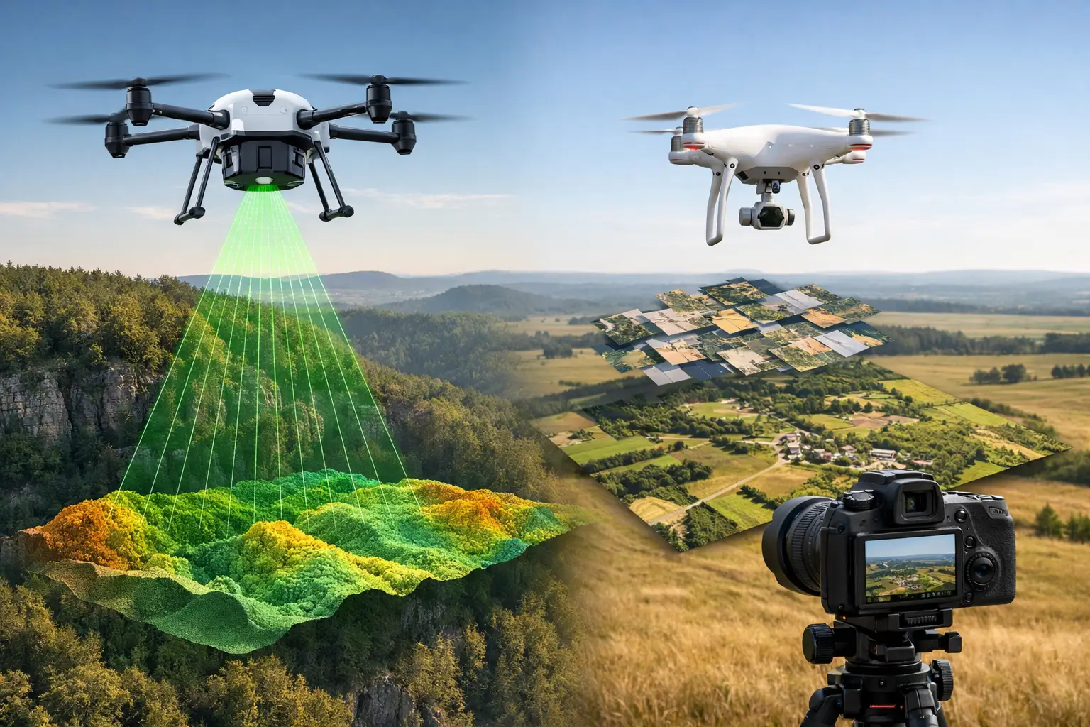
LiDAR is an active sensing method. The sensor emits laser pulses and measures the return time to calculate distance. That produces a dense three-dimensional point cloud with direct range measurements. Because the geometry is measured rather than inferred from image matching, LiDAR performs well where surface complexity, variable lighting, or partial vegetation cover would degrade image-based reconstruction.
Photogrammetry is a passive sensing method. It derives three-dimensional structure from overlapping images by identifying common points across multiple photographs and solving their spatial relationships. The resulting products can be highly detailed and visually rich, especially for exposed surfaces with strong texture and consistent lighting. In favorable conditions, photogrammetry can generate excellent orthomosaics, digital surface models, and volumetric outputs at a lower equipment cost.
That distinction matters operationally. LiDAR is generally chosen when geometric fidelity and terrain extraction are the priority. Photogrammetry is often chosen when visual context, surface color information, and cost efficiency are the primary drivers.
Where LiDAR has the advantage
LiDAR's strongest advantage is its ability to produce reliable elevation data in conditions that challenge image-based methods. In sparse to moderate vegetation, the laser can generate multiple returns, allowing ground classification beneath canopy gaps. For transmission corridors, floodplain mapping, mine access roads, and infrastructure routing, that can be the difference between a useful terrain model and a surface model that still contains vegetation bias.
LiDAR also performs more predictably on low-texture terrain. Sand, gravel pads, uniform soil surfaces, and disturbed industrial ground can all reduce the number of reliable tie points available to photogrammetric reconstruction. In desert and arid-zone operations, where reflective surfaces, haze, and heat shimmer are common, LiDAR often provides more stable geometric output.
Another advantage is reduced dependence on ambient light. While mission planning still matters, LiDAR is less sensitive than photogrammetry to shadows, changing sun angle, and inconsistent illumination. For industrial sites with constrained operating windows, that improves deployment flexibility.
From a QA/QC standpoint, LiDAR is often easier to validate for terrain accuracy because the measurement chain is more direct. Calibration remains essential - particularly for GNSS, IMU, boresight alignment, and strip adjustment - but the final point cloud is not as dependent on scene texture and image matching quality.
Where photogrammetry has the advantage
Photogrammetry remains highly effective when the site is open, clearly visible, and rich in visual texture. For quarries, exposed earthworks, facades, stockpiles, and construction progress documentation, image-based mapping can deliver very high spatial detail and strong commercial value.
Its biggest advantage is often the orthomosaic. If a client needs current, high-resolution visual mapping for planning, stakeholder reporting, or asset condition review, photogrammetry produces intuitive outputs that non-specialist teams can interpret quickly. Colorized surface models and true-to-life imagery are useful across engineering, planning, and executive review workflows.
Photogrammetry can also be more economical at the sensor level. For projects where terrain penetration is not required and tolerance bands are achievable through good control and disciplined processing, it can be the more efficient option. That is particularly relevant for repeat surveys over open sites where the objective is progress tracking or volume reconciliation rather than bare-earth extraction.
The trade-off is that photogrammetry demands tighter control of acquisition conditions. Overlap, exposure consistency, ground control strategy, lens calibration, and surface texture all have a direct effect on output quality. The method is powerful, but it is less forgiving.
Accuracy is not a single number
A common procurement error is to ask whether LiDAR or photogrammetry is "more accurate" without defining the surface, environment, and acceptance criteria. Accuracy in mapping depends on what is being measured and how the dataset will be used.
If the requirement is a bare-earth terrain model beneath vegetation, LiDAR is usually the correct choice because photogrammetry reconstructs the visible surface, not the concealed ground. If the requirement is a detailed orthomosaic of exposed infrastructure with strong visual realism, photogrammetry may be more suitable. If the requirement is stockpile volumetrics on open ground, either method may perform well, provided survey control, checkpointing, and processing discipline are appropriate.
Accuracy should therefore be specified in operational terms: horizontal and vertical tolerances, checkpoint methodology, point density, classification requirements, coverage continuity, and reporting format. Decision-grade survey programs are built around those criteria, not around a generic claim that one sensor is superior in all cases.
Cost, speed, and deliverable value
Photogrammetry usually has a lower entry cost for data capture, but acquisition cost is only one line item. For enterprise projects, the more relevant question is total deliverable value.
A lower-cost survey that requires rework because vegetation was not removed, surface reconstruction failed in low-texture areas, or the dataset cannot support engineering-grade decisions is not actually economical. On the other hand, deploying LiDAR to a simple exposed stockpile site where imagery would have met specification can add unnecessary cost.
Speed also depends on the project objective. Photogrammetry can be fast in the field, but processing large image datasets and resolving reconstruction issues can be computationally intensive. LiDAR may require more specialized calibration and classification workflows, yet it often reduces ambiguity in downstream modeling. For critical programs, the faster method is the one that reaches acceptance without dispute.
Choosing the right method by use case
In mining and quarrying, both methods have clear roles. LiDAR is often preferred for haul roads, pit topography, geotechnical context, and sites with vegetation or terrain complexity. Photogrammetry is highly effective for blast monitoring, stockpile measurements, and visual site documentation where surfaces are exposed.
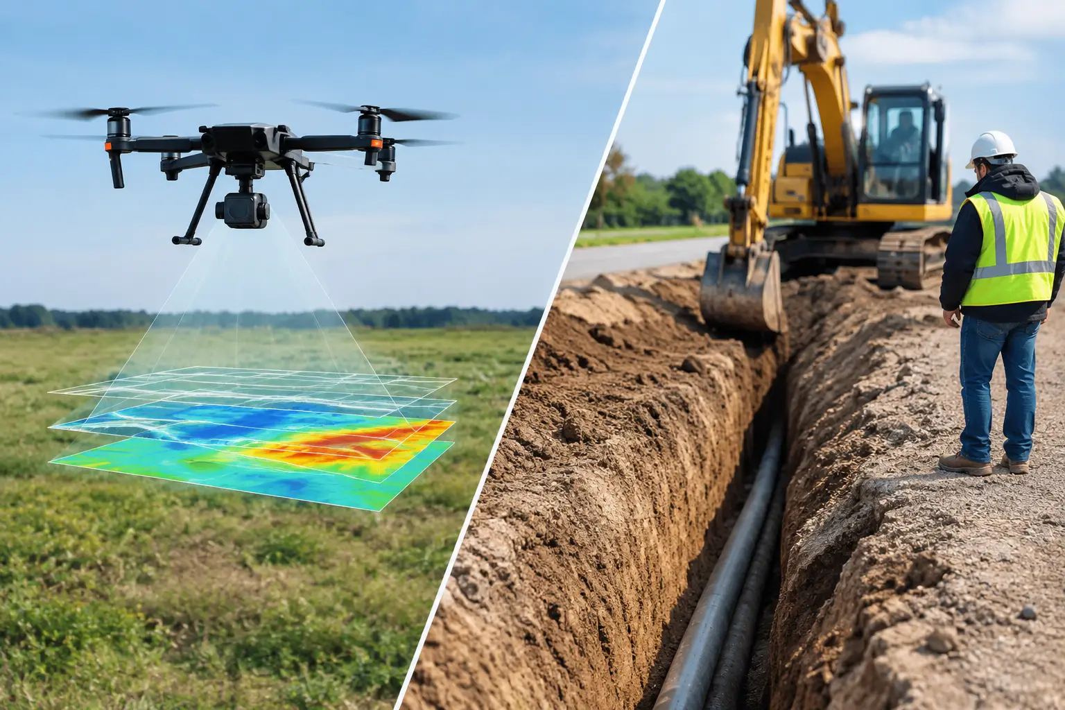
In utilities and linear infrastructure, LiDAR generally has the advantage. Corridors contain poles, conductors, vegetation interfaces, embankments, and drainage features that benefit from dense three-dimensional measurement and classification. Bare-earth extraction can be critical for route design and risk assessment.
In construction and industrial development, the answer depends on phase. Early-stage terrain modeling and earthworks verification may favor LiDAR, while progress monitoring, facade capture, and stakeholder reporting often favor photogrammetry because visual context matters.
In water resources and environmental applications, terrain fidelity is usually decisive. Drainage paths, micro-topography, flood modeling, and channel definition often justify LiDAR, especially where surface cover complicates image-only methods.
Why hybrid survey design is often the best answer
The most effective programs do not always treat LiDAR and photogrammetry as competing options. In many cases, they are complementary. A hybrid design can pair LiDAR-derived terrain and structure with high-resolution imagery for visual interpretation, inspection context, and reporting.
This is particularly valuable on complex industrial or government-backed projects where multiple stakeholder groups consume the same dataset. Engineering teams may need classified point clouds and terrain models. Planning teams may need orthomosaics. Executive stakeholders may require outputs that are easy to interpret but still fully auditable.
That is where disciplined multi-sensor integration becomes commercially important. A contractor that can align acquisition planning, calibration, control, processing, and cross-validation across both modalities is more likely to deliver a coherent dataset rather than two disconnected products. Air Solutions applies this approach where project risk, environmental conditions, and reporting standards require more than a single-sensor answer.
What buyers should ask before procurement
The best procurement discussions start with the decision that the survey must support. Is the output intended for design, volumetrics, compliance, route selection, progress certification, or asset intelligence? Once that is clear, the right technical questions follow: Do you need bare-earth extraction? What are the vegetation and lighting conditions? What checkpoint tolerance will be enforced? Will the deliverable require classification, cross-sections, CAD integration, or interpreted reporting?
Buyers should also ask how calibration, control, and validation will be documented. A polished map is not enough. For high-value industrial work, the dataset needs a defensible acquisition and QA/QC chain.
LiDAR versus photogrammetry mapping is not a choice between old and new, or premium and budget. It is a technical selection between two very different measurement approaches. The better decision comes from matching the sensor to the surface, the environment, and the business risk - then insisting on outputs that can stand up to engineering review long after the flight is over.