Aquifer mapping fails when the program starts with the wrong question. Most groundwater teams do not need a drone flight for its own sake. They need defensible evidence on where water-bearing units sit, how they extend laterally, where recharge pathways are likely, and where drilling risk can be reduced before capital is committed. That is the real frame for how to map aquifers with drones - not as a single sensor exercise, but as a controlled geospatial workflow that converts airborne measurements into decision-grade subsurface intelligence.
How to map aquifers with drones in practice
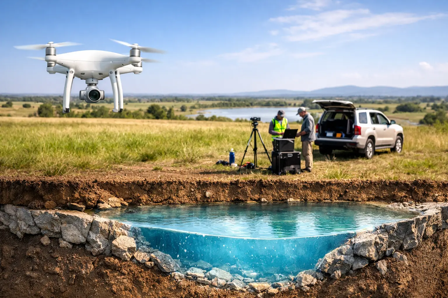
At an operational level, aquifer mapping with drones combines surface and near-surface measurements that act as proxies for groundwater occurrence. Drones do not image water directly in the way many non-technical stakeholders assume. They measure terrain, vegetation response, surface moisture expression, structural controls, and geophysical contrasts that correlate with saturated zones, alluvium thickness, fracture systems, paleochannels, and lithologic boundaries.
The right program usually integrates several sensing modes. Electromagnetic data can help distinguish conductive and resistive subsurface units. LiDAR defines topography, drainage geometry, wadis, recharge corridors, and subtle geomorphic features. Photogrammetry adds high-resolution surface context. In specific settings, hyperspectral or thermal data may provide secondary indicators tied to moisture retention, mineral alteration, or seepage expression. The value is not in any single layer. It is in calibrated data fusion, interpreted against local geology and existing hydrogeologic controls.
That distinction matters for procurement and project design. If the objective is borehole targeting, the survey architecture should be different from a regional groundwater baseline or a recharge assessment for infrastructure planning. A technically sound aquifer mapping program starts by defining the decision the data must support.
Start with the hydrogeologic model, not the aircraft
The most common mistake in drone groundwater work is overemphasizing the platform and underdefining the conceptual model. Before survey lines are designed, the team should establish what kind of aquifer system is expected. Is the target an alluvial aquifer in unconsolidated sediments, a fractured basement system, a karst network, or a layered sedimentary unit with salinity variation? Each case changes sensor selection, line spacing, flying height, and interpretation logic.
In arid environments, the surface can be misleading. Dry channels may still mark active recharge pathways during episodic storm events. Cemented surfaces can mask shallow subsurface variability. Salt crusts can distort conductivity responses. A drone survey therefore works best when it is constrained by prior borehole logs, regional geology, existing geophysics, pumping test records, and any available water chemistry. The more calibrated the baseline, the more credible the airborne interpretation.
For enterprise and government projects, this phase should also define QA/QC requirements early. Positioning tolerances, sensor calibration routines, line-kilometer specifications, repeat lines, base-station controls, and data acceptance criteria need to be set before mobilization. If the output is expected to support permitting, investment screening, or public infrastructure planning, auditability is not optional.
Which drone sensors are used to map aquifers
The answer depends on scale, geology, and budget, but airborne electromagnetics is usually the primary geophysical tool where subsurface discrimination is required. EM systems measure the electrical response of the ground, which can help identify differences in lithology, porosity, saturation, and salinity. In groundwater exploration, that can be useful for tracing buried channels, mapping weathered zones, identifying structural breaks, and distinguishing fresher from more saline intervals in the right settings.
LiDAR plays a different role. It provides precise elevation models that are critical for watershed analysis, recharge mapping, drainage extraction, floodplain geometry, and subtle landform interpretation. In desert terrain, where minor topographic variation can control runoff concentration and infiltration, this is more important than many survey briefs acknowledge.
Photogrammetry is often the most cost-effective complement. High-resolution orthomosaics help interpret lineaments, fault traces, fracture density, surficial deposits, and anthropogenic constraints. Thermal imaging can occasionally support seep detection or identify moisture contrasts near the surface, but its reliability is highly dependent on timing, substrate, and atmospheric conditions. Hyperspectral imaging can add value where mineralogical indicators help identify alteration zones, clay distribution, or evaporitic surfaces associated with hydrogeologic behavior.
No serious groundwater team should treat these datasets as interchangeable. They answer different questions. The survey should be engineered around the highest-value uncertainty in the project area.
Survey design controls the value of the result
If the line spacing is too coarse, the survey may miss narrow paleochannels or fracture corridors. If the flying height is too high, weak subsurface responses may not resolve clearly enough for interpretation. If the area is too small, the dataset may not capture the structural or geomorphic context needed to explain local anomalies.
Good design balances coverage, resolution, and logistics. For reconnaissance work, wider line spacing may be acceptable to identify broad targets for follow-up. For drill targeting, denser grids and tighter navigation control are usually justified. Terrain clearance, sensor payload, desert wind conditions, heat loading, and endurance all shape what is operationally realistic.
This is also where drone deployment has a practical advantage over conventional manned acquisition in many project classes. Smaller areas can be mobilized faster, tighter grids become economically viable, and hazardous or remote zones can be surveyed with lower field exposure. That said, drones are not automatically the best option for every regional program. Very large extents may still require a mixed acquisition strategy. The efficient choice depends on scale and required resolution, not platform preference.
Processing and interpretation are where aquifer maps are actually made
Raw airborne data is not an aquifer map. The map emerges after calibration, filtering, inversion, cross-validation, and geological interpretation. This is the stage where technical quality either holds or collapses.
EM data typically requires noise removal, leveling, altitude correction, and inversion to estimate subsurface conductivity structure. LiDAR must be classified and processed into terrain and surface models. Photogrammetry requires camera calibration, ground control integration, and orthorectification. Each stream should be traceable from acquisition through final deliverable.
Interpretation then combines the datasets with external controls. A conductive anomaly may represent a saturated zone, but it may also indicate clay-rich material or saline groundwater. A lineament may mark a productive fracture, but it may also be geologically insignificant. This is why borehole ties, field verification, and local geological context are essential. Drone data reduces uncertainty. It does not remove the need for hydrogeologic judgment.
The strongest outputs are usually layered products rather than a single map. These can include conductivity depth slices, structural lineament mapping, recharge pathway models, paleodrainage interpretation, terrain derivatives, drilling priority zones, and integrated groundwater prospectivity maps. For institutional buyers, these outputs should be delivered with method statements, processing logs, uncertainty notes, and interpretable GIS-ready formats.
How to map aquifers with drones without overclaiming certainty
A disciplined contractor will be explicit about limits. Drone surveys can significantly improve groundwater targeting, but they do not prove sustainable yield on their own. They cannot replace pumping tests, downhole geophysics, or hydrochemical analysis when those are required for development decisions. They are most powerful as a screening and targeting layer that improves where ground investigation is focused.
This matters commercially. A well-designed drone program can reduce the number of speculative drill locations, shorten early-stage investigation cycles, and improve confidence in where to place higher-cost ground methods. For water authorities, mining operators, EPC firms, and infrastructure planners, that means better sequencing of capital and lower field risk. For procurement teams, it means the return on the survey should be measured against avoided dry holes, reduced mobilization waste, and faster technical convergence.
It also matters geographically. In Saudi Arabia and across the Gulf, groundwater exploration often takes place in heat-stressed, logistically complex terrain where access windows, environmental constraints, and large-area planning requirements place pressure on survey execution. In those settings, drone-based multi-sensor acquisition can offer a sharper operational profile, provided the team running it has desert-ready procedures, calibrated workflows, and interpretation capacity that goes beyond raw data delivery. That is the standard Air Solutions is built to meet.
The practical question is not whether drones can contribute to aquifer mapping. They can, and they already do. The practical question is whether the survey is being specified, flown, processed, and interpreted to a standard that technical and executive stakeholders can defend later. If the answer is yes, drone data becomes more than imagery or geophysics. It becomes a faster path to better groundwater decisions.
The projects that benefit most are usually the ones that treat airborne sensing as part of a broader hydrogeologic evidence chain. When that chain is calibrated and fully auditable, the map is useful long after the aircraft has landed.