A prospect block can look uniform from satellite imagery and still contain sharp geochemical contrasts at surface. That is usually the point when to use radiometric mapping stops being a theoretical question and becomes a project design decision. If the objective is to detect variations in potassium, uranium, and thorium response quickly, at scale, and with audit-traceable spatial control, radiometric mapping is often one of the fastest ways to add decision-grade context before expensive ground programs begin.
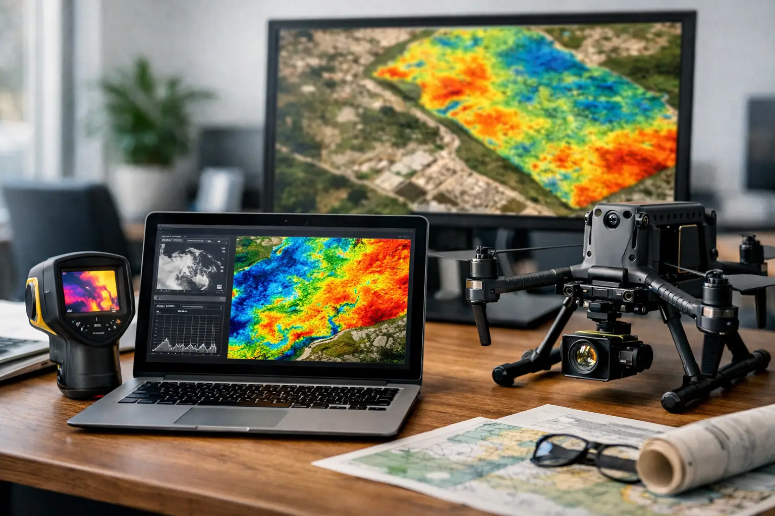
Radiometric mapping measures natural gamma radiation emitted from near-surface materials. In operational terms, it helps identify lithologic boundaries, alteration patterns, regolith changes, and areas where surface geochemistry may indicate broader subsurface processes. It does not replace drilling, trenching, or laboratory assays. It does, however, give exploration teams, infrastructure planners, and environmental managers a calibrated surface intelligence layer that can materially improve where they spend time and capital next.
When to use radiometric mapping in the project cycle
Radiometric mapping is most valuable when the decision problem depends on spatial variability near surface and when coverage speed matters. Early-stage mineral exploration is the clearest example. If a concession is large, access is uneven, and the team needs to prioritize structural corridors, altered zones, or contact relationships, a radiometric survey can screen large areas far faster than a dense ground campaign.
It is also effective in the transition between desktop targeting and field verification. At that stage, the goal is not only to identify anomalies, but to rank them. A calibrated radiometric dataset can help separate broad low-priority zones from compact targets worth follow-up mapping, sampling, or integrated geophysics.
For mature programs, radiometric mapping is useful when existing models need refinement rather than discovery. If prior work has outlined mineralization but left uncertainty around surface distribution, overburden breaks, or alteration halos, radiometrics can tighten interpretation and improve drill collar positioning. The same applies where legacy airborne data lacks the resolution, positional accuracy, or QA/QC traceability required for current reporting standards.
What radiometric mapping is best at detecting
The method is strongest where natural radioelement distribution has geological meaning. Potassium enrichment may correlate with alteration systems. Thorium can help discriminate lithologies and resist weathering biases differently than potassium. Uranium channel behavior can be useful in selected exploration and environmental contexts, though interpretation requires care because mobility and surface conditions can distort simple assumptions.
This is why radiometric mapping works well in structurally complex terrains, weathered hard-rock environments, and districts where surface geochemistry reflects bedrock or transported material patterns. It can be particularly effective in arid and semi-arid settings, where surface exposure is better and moisture interference is lower. In desert operating environments, that matters. Cleaner signal conditions often support more stable interpretation, provided calibration, altitude control, and processing discipline are maintained.
Radiometrics also performs well when integrated with magnetics, LiDAR, hyperspectral, or orthomosaic data. On its own, it indicates radiological contrasts. In a fused workflow, it becomes a stronger decision layer. A potassium anomaly aligned with a magnetic break and topographic structure is generally more actionable than a standalone hotspot.
Mining and exploration use cases
Mining is the most common answer to when to use radiometric mapping, but the value depends on deposit style and terrain. In greenfield exploration, it is often deployed to map lithologic variation, identify alteration footprints, and support structural interpretation over large license areas. It can also assist in pegmatite, rare earth, uranium-related, and selected hydrothermal systems where near-surface radioelement distribution carries targeting value.
In brownfield settings, the method helps with extension mapping and target ranking around known occurrences. A frequent use case is refining the edges of mapped units where field mapping is inconsistent or expensive to extend. Another is verifying whether radiometric patterns persist across areas with limited outcrop, which can sharpen the targeting logic before trenching or infill drilling.
The trade-off is straightforward. If mineralization has little radiometric expression, heavy cover masks the bedrock response, or the target sits too deep for surface gamma signatures to be meaningful, the method may add only limited value. In those cases, magnetic, electromagnetic, geochemical, or direct sampling programs may carry more weight.
Infrastructure, environmental, and water applications
Radiometric mapping is not limited to mining. It is also used when infrastructure corridors and development zones require a better understanding of surface materials and environmental baselines. For linear projects such as roads, pipelines, transmission routes, and utilities, radiometric data can help characterize changes in surficial geology and support terrain segmentation for planning and risk review.
For environmental programs, the method can contribute to baseline characterization and anomaly screening where naturally occurring radioelements matter to site evaluation. It is not a substitute for regulatory-grade contamination testing, but it can identify areas that warrant focused sampling or closer review. That distinction matters for procurement teams. Radiometric mapping is a screening and interpretation tool first, not a standalone compliance instrument.
In groundwater and hydrogeological investigations, the method can support broader geological mapping by helping distinguish material boundaries that influence recharge behavior, weathering profiles, or structural controls. Its value is indirect but often meaningful when paired with other geoscience layers. If the objective is to understand the geological framework supporting water occurrence rather than to detect water directly, radiometrics can contribute to a more coherent model.
When radiometric mapping is the wrong tool
A disciplined survey program starts by defining where a method should not be used. Radiometric mapping is less effective in areas with dense vegetation, saturated ground conditions, thick transported cover, or urban clutter that degrades signal reliability or interpretation confidence. It is also not the right primary method when the key decision depends on depth penetration beyond the near-surface radiometric window.
There are operational constraints as well. Flight altitude stability, sensor calibration, background correction, and spectral processing quality directly affect data credibility. Poor execution can produce attractive maps that are not decision-safe. That is why enterprise buyers should evaluate not only whether radiometric mapping is relevant, but whether the provider can document calibration routines, positional control, line leveling, and processing workflow in a fully auditable way.
Why drone deployment changes the answer
Historically, clients often reserved radiometric mapping for large airborne campaigns because conventional aircraft economics favored scale. That has changed. Drone deployment makes the method viable for smaller blocks, pilot surveys, inaccessible zones, and fast-turn technical programs where mobilization speed is as important as coverage.
That shift is especially relevant in remote industrial settings and desert environments, where ground access can be slow and manned aircraft scheduling may not align with project urgency. A properly configured UAV radiometric system can deliver high-resolution, low-altitude data with tighter operational control over selected targets, while reducing field exposure and compressing mobilization windows.
For clients, the practical implication is simple. The threshold for when to use radiometric mapping is now lower than it was a decade ago. You no longer need a national-scale campaign to justify it. If the site is operationally constrained, the target is localized, and the business case depends on rapid intelligence before committing larger budgets, UAV-based radiometrics deserves serious consideration.
How to decide if it belongs in your survey scope
The right question is not whether radiometric mapping is useful in general. It is whether it resolves a defined uncertainty better, faster, or more economically than the alternatives. If the project needs near-surface lithologic discrimination, alteration mapping, surface geochemical context, or target ranking across broad terrain, the answer is often yes. If the geology is deeply buried, surface conditions are unfavorable, or the decision requires direct physical confirmation, it should be treated as one layer in a broader program rather than the lead method.
Procurement and technical teams should also judge the output format, not just the sensor. Interpreted products, fused with other datasets and supported by documented QA/QC, have far more operational value than raw channel maps alone. That is where specialist providers such as Air Solutions can materially improve decision speed - by turning airborne measurements into calibrated, cross-validated geospatial intelligence that field teams and executives can both use.
The best time to commission radiometric mapping is usually before uncertainty becomes expensive. If surface variability is driving exploration risk, routing decisions, or follow-up field costs, early radiometric coverage can give the project a more defensible starting point and a cleaner path to the next decision.