
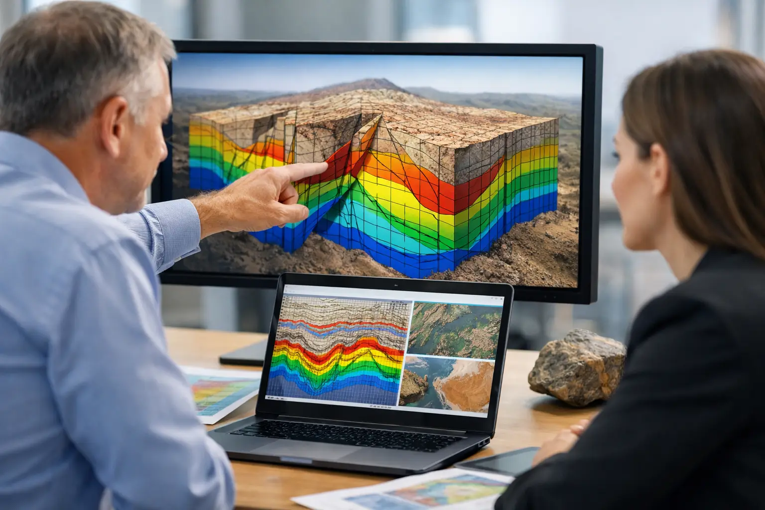
A magnetic grid, LiDAR point cloud, or electromagnetic conductivity map does not reduce project risk on its own. Decision-makers ask a different question: why choose interpreted geoscience products instead of stopping at processed data? The answer is operational. Interpreted outputs convert sensor measurements into traceable geological, hydrological, and infrastructure intelligence that technical teams can defend, procurement teams can evaluate, and executives can use to commit capital.
For enterprise buyers, raw or lightly processed datasets often create an internal bottleneck. The geophysicist sees one pattern, the hydrogeologist sees another, and the project manager is still waiting for a recommendation. Interpretation closes that gap. It organizes calibrated data into target zones, structural features, anomaly rankings, hazard flags, and sector-specific reporting that supports action rather than further debate.
Why choose interpreted geoscience products for decisions
The main advantage is not convenience. It is decision quality under time, budget, and field constraints. In mining, interpreted magnetic and radiometric outputs can sharpen structural understanding, refine target generation, and reduce wasted follow-up over low-probability areas. In groundwater programs, interpreted electromagnetic and terrain datasets can distinguish between conductive clay, saline conditions, and potentially productive aquifer structures more effectively than raw layers reviewed in isolation.
That distinction matters because capital deployment is not based on data volume. It is based on confidence. A procurement team may receive terabytes of survey output, but if those files do not translate into a clear understanding of subsurface conditions, corridor constraints, or engineering risk, they remain an archive rather than an asset.
Interpreted geoscience products are also more useful across mixed stakeholder groups. A principal geologist may need anomaly trends, lineament analysis, and structural context. An EPC contractor may need geospatial constraints tied to route selection or foundation planning. A government client may require auditable methods, standardized map outputs, and reporting language aligned to regulatory review. Interpretation creates a common technical frame across those audiences.
Raw data is valuable, but it is not the endpoint
There is no serious geoscience workflow without high-quality raw acquisition and disciplined processing. Interpretation does not replace those stages. It depends on them. If the survey platform is unstable, the positioning is inconsistent, or the calibration regime is weak, the interpretation inherits those errors.
That is why the best interpreted products begin with controlled acquisition parameters, sensor cross-validation, and documented QA/QC. Once the data is corrected, leveled, georeferenced, and quality checked, interpretation can be applied with confidence. This sequence is especially important in drone-based survey programs, where the value proposition is speed and access, but the technical standard still has to meet enterprise and government expectations.
The trade-off is straightforward. If a client has a large in-house geoscience team, they may prefer to receive processed data and perform interpretation internally. That can be appropriate for research-driven programs or organizations with specialized legacy models. But many project environments do not have the time or staffing to absorb that workload, especially when the output must feed investment committees, drilling decisions, utility planning, or environmental approvals on a compressed schedule.
What interpreted geoscience products actually deliver
A serious interpreted package does more than annotate a map. It integrates data behavior, geological context, survey limitations, and practical implications. The deliverable may include anomaly classifications, target ranking, inferred structures, lithologic boundaries, conductivity-depth relationships, terrain constraints, or utility conflict indicators, depending on the sensing method and project objective.
For example, in a mineral exploration setting, an interpreted aeromagnetic product may identify fault systems, intrusive contacts, demagnetized alteration zones, and priority target corridors for ground follow-up. In a groundwater campaign, interpreted electromagnetic sections may be used to map salinity gradients, weathered zones, fracture pathways, and likely drilling windows. In infrastructure work, integrated LiDAR, photogrammetry, and utility detection can support route optimization and reduce redesign caused by missed ground conditions.
The point is not that interpretation removes uncertainty. It makes uncertainty explicit and manageable. A defensible report should identify confidence levels, data gaps, competing explanations, and recommended next steps. That level of discipline is what separates decision-grade geoscience from presentation-grade graphics.
Speed matters, but interpretation is where time is really saved
Many buyers focus first on mobilization speed. That is reasonable, particularly in remote or desert operating environments where access windows are narrow and field logistics are expensive. Drone-based acquisition can shorten deployment cycles significantly compared with conventional manned-aircraft or ground-heavy methods.
But the larger time saving often appears after the survey. Interpreted geoscience products reduce the delay between acquisition and action. Instead of routing datasets through multiple internal teams for separate review, clients receive a structured output with technical findings already framed against the project question. That can accelerate drill planning, corridor selection, field verification, or budget approval.
This is especially relevant for portfolio-level programs. When an organization is screening multiple licenses, water blocks, or infrastructure corridors, the issue is not simply generating data faster. It is comparing opportunities on a consistent basis. Standardized interpreted outputs allow decision-makers to rank sites with clearer criteria and less subjective variation between teams.
Why choose interpreted geoscience products in harsh operating environments
Harsh environments amplify the cost of ambiguity. In desert regions, heat, dust, remoteness, and restricted access all raise the price of follow-up work. A poorly framed target or an unclear subsurface model can trigger avoidable mobilizations, extra drilling, or repeat surveying.
Interpreted outputs help compress that risk by narrowing the range of plausible actions. They identify where to investigate first, where to avoid overcommitting, and where additional data would materially improve confidence. For sectors operating in Saudi Arabia and the Gulf, this is not an abstract benefit. It directly affects permitting schedules, contractor utilization, and the economics of field campaigns tied to national development timelines.
A disciplined provider should also make interpretation fully auditable. That means documenting source datasets, processing steps, assumptions, coordinate systems, anomaly thresholds, and any cross-sensor correlations used to support conclusions. In regulated or high-value projects, traceability is not optional. It is part of the deliverable.
Multi-sensor interpretation produces a stronger model
Single-sensor outputs can be useful, but they often leave unresolved questions. A magnetic anomaly may indicate structure, alteration, or cultural noise. A conductivity response may suggest groundwater potential, saline saturation, clay-rich material, or buried infrastructure. Interpretation becomes far more reliable when those signals are tested against complementary datasets.
This is where multi-sensor integration adds measurable value. Magnetic data paired with radiometrics can improve lithologic discrimination. LiDAR can clarify terrain expression and drainage controls. Photogrammetry provides visual context for structural mapping and access planning. Hyperspectral layers can support alteration or material classification. Utility detection and confined-space inspection can extend the model into built environments where subsurface uncertainty creates direct engineering risk.
The result is not just more information. It is a more constrained interpretation. That matters because the commercial consequence of a false positive or false negative can be significant. The stronger the cross-validation between datasets, the more defensible the recommendation becomes.
Choosing a provider, not just a product
If you are evaluating why choose interpreted geoscience products, the more useful question may be who is doing the interpretation and under what controls. The value of the final output depends on acquisition quality, processing discipline, domain experience, and the provider's ability to align reporting with the client's decision pathway.
A credible partner should be able to explain how sensor data is calibrated, how interpretations are reviewed, what confidence framework is used, and how findings are adapted for mining, water, utilities, energy, or infrastructure use cases. They should also state the limits of the method. Not every anomaly is a target. Not every conductive zone is a productive aquifer. Not every terrain model is sufficient for engineering design without further ground truthing.
This is where a company like Air Solutions is differentiated. The value is not only in drone deployment speed or sensor range. It is in producing interpreted, cross-validated, and fully traceable outputs that move from acquisition to action with minimal loss of technical rigor.
The strongest geoscience programs are not built on more files. They are built on clearer decisions, backed by data that has been measured carefully, interpreted honestly, and delivered in a form the project can use the same day it arrives.