
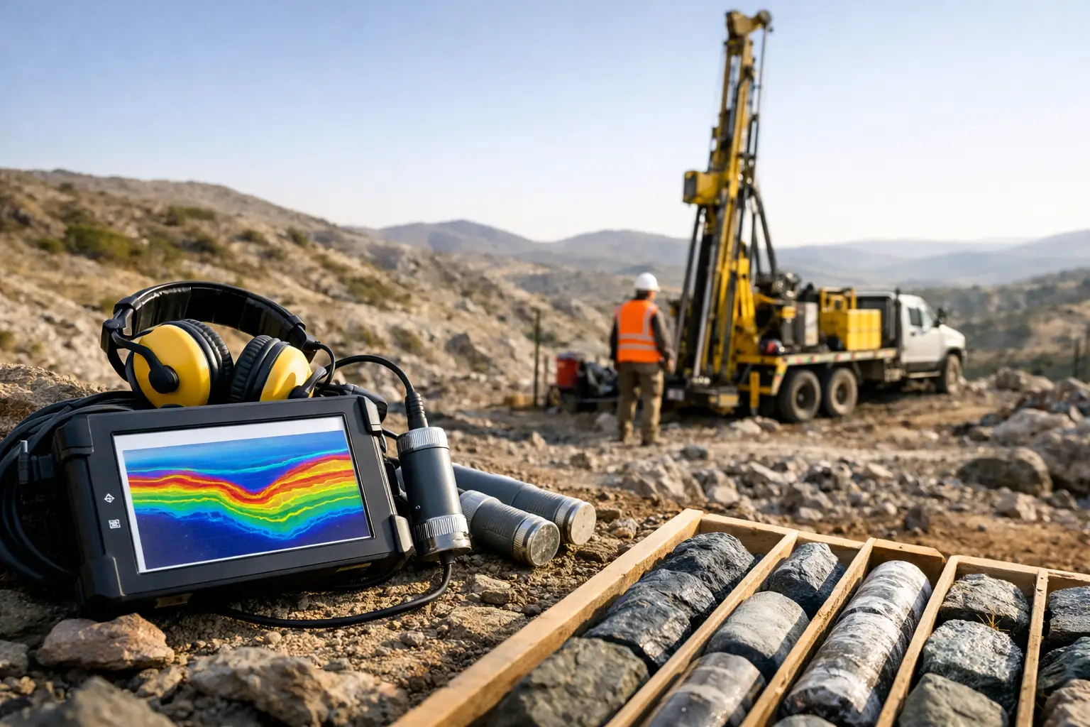
A drilling program can consume a significant exploration budget before it resolves a single geological question. Mineral exploration geophysics reduces that uncertainty by converting measurable contrasts in magnetism, conductivity, density, radioactivity, and terrain into a defensible target model. The objective is not to produce attractive maps. It is to identify structures, alteration systems, lithological contacts, and concealed anomalies that justify field follow-up and drilling.
For exploration teams working across large license areas, rugged terrain, or desert environments, the operational question is equally important: how quickly can decision-grade data be acquired, calibrated, interpreted, and delivered without compromising quality? The answer depends on matching the sensing method, survey geometry, processing workflow, and geological hypothesis to the exploration decision at hand.
What Mineral Exploration Geophysics Measures
Geophysics does not detect an orebody in isolation. It measures physical properties that may be associated with mineralization, host lithology, structure, hydrothermal alteration, regolith, or groundwater conditions. A useful survey begins with a clear understanding of which contrast is expected and whether it can be separated from the surrounding geological background.
Aeromagnetic surveys measure variations in the Earth’s magnetic field caused by differences in magnetic mineral content. They are particularly effective for mapping faults, shear zones, dikes, basement architecture, mafic and ultramafic units, and magnetite-bearing alteration. In covered terrain, magnetic data can reveal structural controls that are not visible in surface mapping or satellite imagery.
Electromagnetic methods measure the subsurface response to induced or natural electromagnetic fields. They can identify conductive targets such as sulfide accumulations, graphite-rich horizons, saline groundwater, clay-rich alteration, and conductive overburden. Conductivity alone is not evidence of economic mineralization. Graphite, brines, and cultural infrastructure can produce strong responses, which is why electromagnetic anomalies require geological and geochemical context.
Radiometric surveys measure gamma radiation associated with potassium, uranium, and thorium near the surface. They support geological mapping, regolith characterization, alteration studies, and uranium exploration. Their depth of investigation is limited, but their value increases substantially when integrated with magnetics, elevation data, and field observations.
Gravity, hyperspectral imaging, LiDAR, and photogrammetry add further layers of evidence. Gravity can define density contrasts associated with intrusive bodies, basin geometry, or dense mineralized systems. Hyperspectral data can map surface mineral assemblages and alteration footprints where exposure permits. LiDAR and photogrammetry provide high-resolution terrain, structural, and access intelligence that improves both interpretation and field execution.
Why Survey Design Determines Data Value
A sensor specification does not define survey quality on its own. In mineral exploration geophysics, survey design controls whether a dataset can resolve the geological features that matter. Line spacing, terrain clearance, flight direction, sampling rate, sensor calibration, base-station control, and magnetic compensation must be established against the expected target scale and orientation.
If structures trend northeast, survey lines flown perpendicular or near-perpendicular to that trend will generally provide stronger spatial definition than lines flown parallel to it. If the exploration objective is regional structural mapping, wider line spacing may be appropriate. If the objective is drill targeting along a narrow shear corridor, tighter spacing and lower terrain clearance may be necessary. Collecting dense data over an area with no defined geological rationale can increase cost without improving the decision.
Terrain creates another practical constraint. In mountainous ground, wadis, escarpments, and desert corridors, maintaining consistent sensor altitude is essential to controlling signal variation. Low-level airborne acquisition improves resolution, but it must be balanced against aviation safety, obstacle clearance, permissions, weather, and the platform’s endurance. Drone-based systems can offer a major advantage where rapid mobilization, localized infill coverage, or access to difficult terrain is required, provided the survey is executed with disciplined flight planning and documented controls.
The best acquisition plan is therefore hypothesis-led. It defines the target model, expected physical-property contrast, priority depth range, acceptable positional accuracy, line orientation, and the evidence needed to advance or reject a target.
From Raw Signals to Interpreted Targets
Raw geophysical measurements are not decision-grade deliverables. They contain instrument drift, positioning variation, terrain effects, diurnal magnetic activity, line-to-line differences, noise, and, in some cases, cultural interference. Processing must be traceable from acquisition through final interpretation.
For magnetic data, this commonly includes base-station correction, compensation, leveling, micro-leveling, removal of the regional field, gridding, and derivative generation. Products such as reduced-to-pole magnetic grids, analytic signal, tilt derivative, vertical derivatives, and edge-detection filters can clarify contacts and structural trends. No filter creates geological truth. Each emphasizes particular wavelengths and features, so interpretation should be cross-validated against the original field and corrected datasets.
Electromagnetic processing requires equally careful handling of waveform response, system geometry, altitude, noise, and inversion parameters. Conductivity-depth sections and plate or layered-earth inversions can provide useful target geometry, but results remain model-dependent. Inversion is not a substitute for geological understanding, borehole information, or ground validation.
A disciplined interpretation workflow integrates datasets rather than ranking a single anomaly in isolation. A magnetic break aligned with mapped shearing, coincident alteration signatures, favorable stratigraphy, and a conductive response has a stronger exploration rationale than any one of those signals alone. Conversely, an anomaly that conflicts with terrain, infrastructure mapping, or known lithology may be downgraded before expensive follow-up begins.
A Decision Workflow for Exploration Teams
The operational value of geophysics is realized through a staged workflow that links sensing to investment decisions. The most effective programs typically move from regional screening to focused infill, then to field validation and drilling.
At the regional stage, airborne magnetics, radiometrics, terrain models, and satellite-derived geology can establish the structural framework across large areas. This stage is intended to identify belts, intrusive centers, lineament intersections, lithological boundaries, and areas where existing mapping is incomplete or unreliable beneath cover.
Focused work then tests specific target concepts. Higher-resolution aeromagnetic or electromagnetic surveys may be flown over priority corridors. Ground geochemistry, mapping, rock-chip sampling, and structural observations refine the interpretation. Where justified, gravity or induced polarization can address a remaining uncertainty, such as depth extent, chargeability, or density contrast.
Drill planning should be the final test of an integrated model, not the first response to a map anomaly. The target rationale should state what feature is being tested, the predicted geometry, expected depth, planned intercept orientation, and the result that would materially change the geological model. This creates a clear audit trail from survey data to capital allocation.
QA/QC Is an Exploration Control, Not a Reporting Formality
Enterprise exploration programs require data that can withstand technical review, partner due diligence, and internal resource governance. QA/QC begins before mobilization with sensor calibration, flight planning, coordinate control, operational risk assessment, and acceptance criteria. It continues during acquisition through coverage monitoring, repeat lines, base-station checks, altitude verification, and documented treatment of deviations.
Post-processing QA/QC should assess positional accuracy, line consistency, crossover statistics, noise characteristics, data gaps, grid artifacts, and the effects of filtering or inversion. Deliverables should distinguish observed data from interpreted products and clearly record processing parameters, assumptions, coordinate reference systems, and limitations.
This is particularly relevant when datasets will support drilling, resource definition, infrastructure planning, or government reporting. A visually compelling image with undocumented corrections is difficult to defend. A calibrated dataset with transparent processing history can be reinterpreted as the geological model evolves.
Choosing Airborne, Ground, or Hybrid Acquisition
There is no universally superior survey platform. Ground geophysics can provide high sensitivity and detailed station control over compact targets, but it can be slow, labor-intensive, and difficult to deploy across steep, remote, or hazardous terrain. Manned aircraft can cover extensive areas efficiently, although mobilization, permitting, cost, and infill flexibility may limit their suitability for smaller or rapidly changing programs.
Drone-based airborne acquisition occupies an important middle ground. It can mobilize quickly, fly localized high-resolution blocks, and operate with lower field exposure in difficult environments. For desert exploration, it can reduce the time spent moving crews across inaccessible ground while producing dense, repeatable coverage. Its limitations must also be acknowledged: endurance, payload capacity, airspace controls, temperature, wind, and terrain all influence achievable production.
The right choice depends on survey scale, target depth, required resolution, logistics, schedule, and the cost of being wrong. Air Solutions applies this assessment to build multi-sensor programs around the exploration decision rather than forcing every project into a standard acquisition template.
The Measure of a Successful Survey
A successful geophysical campaign does not promise a discovery. It reduces uncertainty in a way that changes the next decision: where to map, sample, infill, drill, defer, or stop. That discipline protects exploration capital and keeps technical teams focused on evidence rather than anomaly volume.
When sensing, processing, and interpretation are designed as one controlled system, mineral exploration geophysics becomes more than a reconnaissance tool. It becomes a practical basis for prioritizing ground, defending drill locations, and advancing the targets that deserve the next investment.