
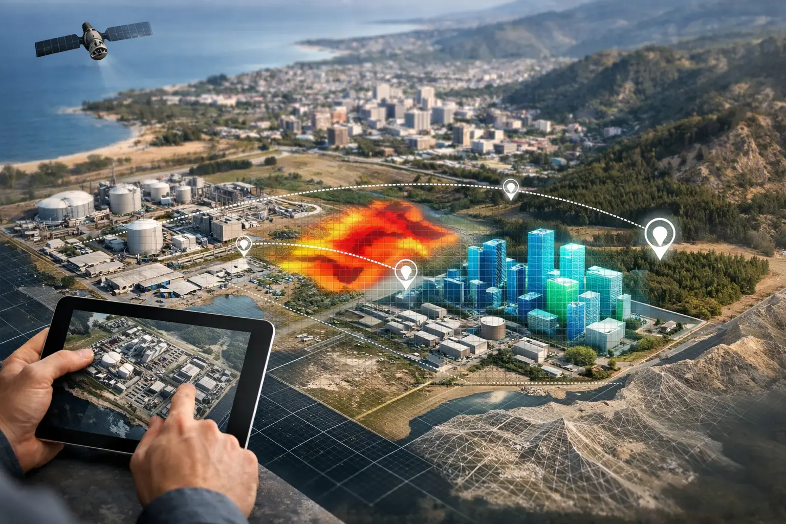
A drilling program can lose weeks because a target was defined from incomplete magnetic coverage. A utility corridor can face avoidable redesign when undocumented services are found after excavation begins. A water investigation can produce inconclusive results when surface observations are not correlated with subsurface structure. Geospatial intelligence services address these failures by converting calibrated airborne measurements into interpreted, decision-grade evidence.
For mining, water, energy, infrastructure, and government-backed development programs, the output is not simply imagery or point clouds. It is a traceable technical basis for selecting targets, reducing field exposure, prioritizing investigations, and defending engineering or investment decisions.
What Geospatial Intelligence Services Actually Deliver
Geospatial intelligence begins with data acquisition but creates value through interpretation, validation, and reporting. A drone platform may carry magnetometers, electromagnetic sensors, LiDAR, optical cameras, hyperspectral sensors, radiometric instruments, or combinations of these systems. Each sensor records a different physical condition. The intelligence emerges when those measurements are positioned accurately, calibrated correctly, processed under controlled workflows, and assessed against the project's geological, engineering, or operational context.
A useful deliverable therefore answers a defined question. For an exploration manager, that may be the location and continuity of structures associated with mineralization. For a hydrologist, it may be fractured zones, paleochannels, or conductive features that warrant groundwater investigation. For an EPC contractor, it may be terrain constraints, stockpile volumes, corridor conflicts, or inaccessible asset conditions.
Raw data alone rarely meets this standard. A large LiDAR dataset can accurately describe terrain while saying little about subsurface risk. A magnetic anomaly may indicate a structural feature but require electromagnetic, radiometric, field, or drilling evidence before it can support a target decision. The right service provider makes these limits explicit rather than overstating sensor certainty.
The Airborne Data Stack for Decision-Grade Results
No single sensing method is universally correct. Survey design depends on the decision to be made, the physical properties being measured, site access, required resolution, terrain, and the degree of uncertainty the client can accept.
Magnetic and electromagnetic surveys
Aeromagnetic surveys measure variations in the Earth's magnetic field caused by differences in rock properties. They are highly effective for mapping lithological boundaries, faults, dikes, basement structures, and other features that may control mineral systems or groundwater movement. Survey line spacing, altitude, heading correction, diurnal monitoring, and compensation procedures directly influence interpretability.
Electromagnetic surveys measure electrical conductivity and related responses. They can help identify conductive zones associated with groundwater, clay-rich materials, salinity, mineralization, buried channels, and certain infrastructure features. Interpretation requires care. Conductivity can have several causes, and a conductive response is not automatically an aquifer or an orebody. Cross-validation with geology, boreholes, resistivity data, and hydrogeological evidence is often required.
LiDAR, photogrammetry, and hyperspectral imaging
LiDAR provides high-density elevation data that supports bare-earth terrain models, drainage analysis, slope assessment, volumetrics, route planning, and infrastructure design. Its ability to characterize topography through sparse vegetation can be especially valuable where surface form affects engineering risk.
Photogrammetry produces detailed orthomosaics, three-dimensional models, and surface measurements from overlapping imagery. It is efficient for construction monitoring, quarry mapping, asset documentation, and visual inspection. Its accuracy is dependent on camera calibration, ground control, flight geometry, lighting, and disciplined processing.
Hyperspectral imaging extends beyond conventional visual imagery by detecting spectral signatures across many bands. Used appropriately, it can support mineral alteration mapping, surface material discrimination, vegetation condition assessment, and environmental reconnaissance. Atmospheric correction and field verification are essential, particularly in bright, dusty desert environments where surface reflectance can be complex.
Radiometric, utility, and inspection capabilities
Radiometric surveys measure naturally occurring gamma radiation associated with potassium, uranium, and thorium. In exploration programs, they can contribute to lithological discrimination, alteration mapping, and regolith interpretation. Their usefulness depends on ground clearance, calibration, background conditions, and appropriate integration with other datasets.
For developed sites, utility detection and confined-space inspection solve a different operational problem. These assignments are driven by safety, access, and asset certainty. Drone-based inspection can reduce personnel exposure in tanks, culverts, voids, elevated structures, and restricted areas while creating an auditable visual and spatial record of observed conditions.
Why Multi-Sensor Fusion Changes the Decision
The strongest geospatial intelligence programs are designed around complementary evidence. A magnetic survey may define structural architecture, while electromagnetic data helps differentiate conductive zones. LiDAR can establish the terrain and drainage context. Hyperspectral results may identify surface alteration patterns. Together, these datasets can narrow a large area into a smaller set of technically defensible targets.
This is not a matter of adding sensors for appearance. More data can create more ambiguity when datasets are collected at mismatched scales, processed inconsistently, or interpreted without a common spatial reference. Fusion only improves confidence when each dataset has documented metadata, verified positioning, compatible resolution, and a clear role in the interpretation model.
For example, a groundwater exploration program may begin with regional structural mapping, then use electromagnetic coverage to identify conductive pathways or basin-fill geometry. LiDAR-derived drainage and topographic analysis can clarify recharge behavior and access constraints. The final recommendation should distinguish between a geophysical target, a hydrogeological hypothesis, and a drill-ready location. Those are related, but they are not equivalent claims.
QA/QC Is Part of the Service, Not a Back-Office Step
High-value projects require outputs that technical teams can interrogate months after fieldwork ends. That requires a controlled chain from mission planning through final reporting.
A disciplined workflow defines sensor calibration, flight parameters, line spacing, altitude control, base-station procedures, control points, data completeness checks, processing versions, and acceptance criteria before mobilization. During acquisition, crews monitor coverage, sensor performance, positioning quality, and environmental conditions. After acquisition, processing should preserve the lineage between the recorded measurements, applied corrections, derived products, and interpretations.
Fully auditable reporting does not mean overwhelming a decision-maker with every intermediate file. It means providing the technical documentation needed for review while presenting findings in a form appropriate to the audience. Executives need risk, opportunity, priorities, and implications. Geologists and engineers need maps, sections, anomaly definitions, confidence statements, parameters, and limitations.
Operational Value in Desert and Industrial Environments
In Saudi Arabia and the wider Gulf, survey execution is frequently shaped by heat, dust, remote access, restricted zones, compressed schedules, and large project footprints. Conventional ground surveys can be slow or expose teams to terrain and operational hazards. Manned aircraft can be efficient at regional scale but may involve higher mobilization requirements, less flexibility for small or changing areas, and constraints around low-altitude acquisition.
Drone-based deployment can close this gap when planned within aviation, site-access, and safety requirements. Platforms can mobilize rapidly, fly targeted grids at controlled altitude, and revisit priority zones without the cost profile of a full manned-aircraft campaign. The trade-off is coverage rate. Very large regional areas may still favor manned aircraft or satellite-led screening, while drones are particularly effective for focused exploration blocks, corridors, facilities, construction sites, and areas requiring dense, low-altitude data.
Air Solutions applies this model through desert-ready airborne acquisition, multi-sensor integration, documented QA/QC, and sector-specific interpretation. The objective is to provide clients with technical products that can withstand procurement review, engineering scrutiny, and subsequent field validation.
Selecting a Geospatial Intelligence Partner
Procurement teams should evaluate more than the platform and sensor list. The key question is whether the provider can connect field acquisition to the decision that follows. A credible scope defines the survey objective, expected resolution, sensor limitations, validation approach, deliverable format, and criteria for recommending next steps.
Ask how positioning is controlled, how sensor calibration is documented, how data gaps are identified, and which parts of the final interpretation are directly measured versus inferred. Review sample reports for methodology, confidence language, map readability, and traceability. A provider that offers only files may shift the interpretation burden back to the client. A provider that offers conclusions without supporting evidence creates a different risk.
The most effective engagement often starts with a pilot survey. A properly bounded pilot tests acquisition parameters, site conditions, interpretation value, and integration with existing geological or engineering data before a larger deployment is authorized. It reduces uncertainty in the survey design itself.
When the project team defines the decision first, geospatial intelligence becomes more than a survey deliverable. It becomes a controlled evidence layer that helps direct capital, fieldwork, and engineering effort toward the locations where certainty matters most.