
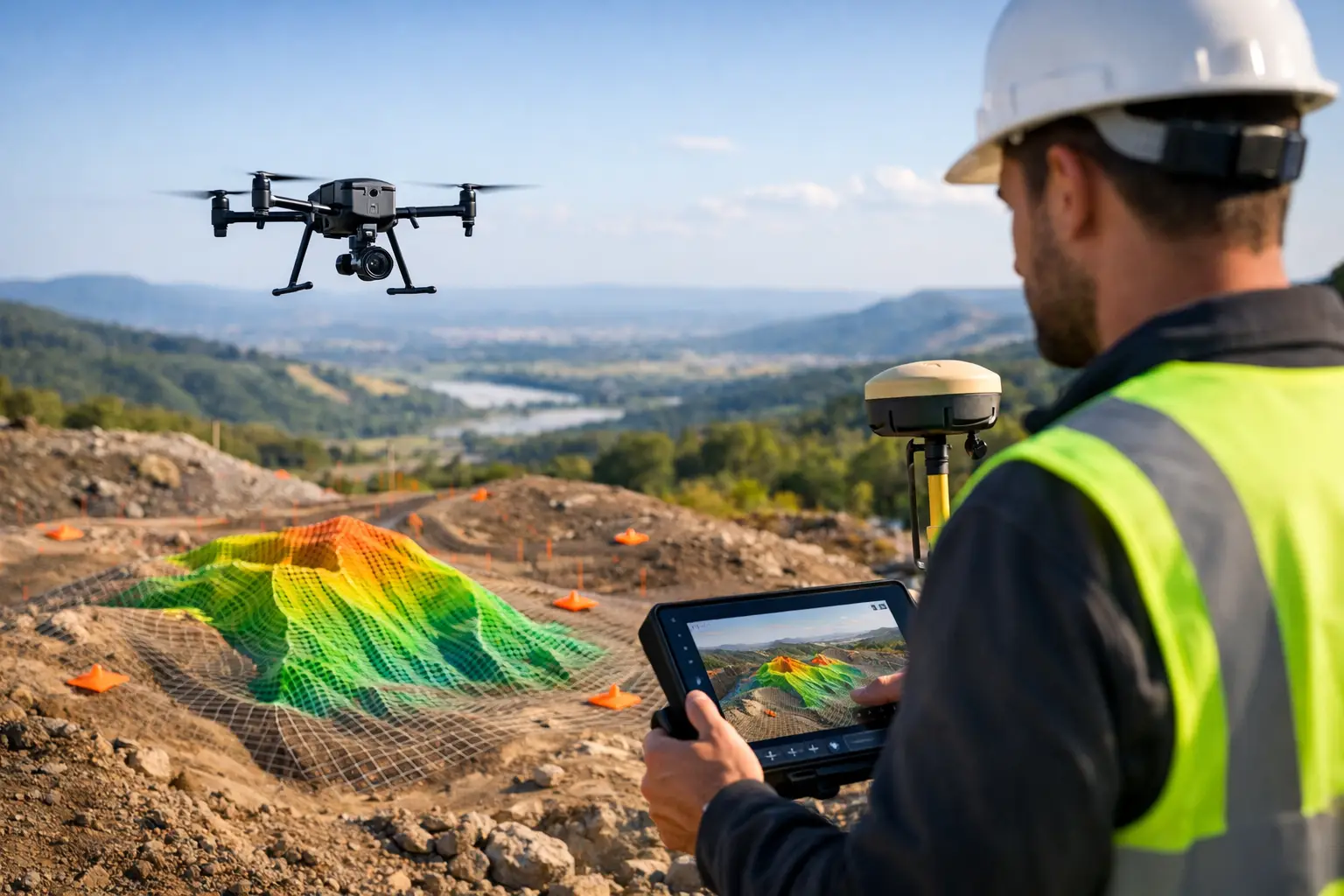
A proposed haul road can appear straightforward on a satellite image and still fail on grade, drainage, cut-and-fill balance, or access constraints once construction begins. A drone topography survey replaces assumptions with a measured terrain baseline that engineering, mining, water, and infrastructure teams can use to plan work, validate progress, and defend decisions.
The value is not simply a detailed aerial image. A properly executed survey produces calibrated, georeferenced terrain intelligence with defined accuracy, documented control, and traceable processing. For projects operating under schedule pressure or in difficult terrain, that distinction determines whether the output is suitable for design and measurement or limited to visual reference.
What a drone topography survey measures
A drone topography survey captures elevation and surface geometry across a project area using photogrammetry, LiDAR, or a combined sensing approach. The selected sensor, flight geometry, ground control strategy, and processing workflow depend on the terrain, required accuracy, vegetation cover, and intended engineering use.
Photogrammetry reconstructs three-dimensional surfaces from overlapping calibrated imagery. It is highly effective for exposed ground, rock faces, stockpiles, construction corridors, and site progress monitoring. Its outputs can include orthomosaics, dense point clouds, digital surface models, digital terrain models, contours, breaklines, and volumetric calculations.
LiDAR measures distance directly using laser pulses. It is often the stronger option where vegetation, complex structures, utility corridors, or irregular ground reduce photogrammetric visibility. LiDAR can improve ground classification beneath sparse to moderate vegetation, although its effectiveness still depends on canopy density, pulse density, scan angle, and classification controls.
Neither method is automatically superior. A clear, bare-earth quarry may favor high-resolution photogrammetry for cost-efficient volume and surface modeling. A vegetated wadi, transmission corridor, or constrained infrastructure route may require LiDAR to establish a more reliable ground model. In some assignments, co-registered LiDAR and imagery provide the best operational result: measured geometry supported by visual interpretation.
From flight data to an auditable terrain model
Decision-grade topography is built through a controlled workflow, not produced by an aircraft alone. The survey starts with a technical specification that defines coordinate reference system, vertical datum, area of interest, target ground sampling distance or point density, required accuracy, deliverables, and acceptance criteria.
Survey control and geodetic alignment
Ground control points and independent checkpoints anchor the aerial dataset to the required coordinate system. RTK or PPK positioning can reduce field control requirements and improve operational efficiency, but it does not eliminate the need for validation. Independent checkpoints remain essential for reporting horizontal and vertical accuracy without circular validation.
Control placement must reflect the site geometry. Points clustered near a launch location may support an attractive map while leaving weakly constrained terrain at the project boundary. A disciplined plan distributes control across elevations, edges, and interior areas, with additional consideration for long linear corridors, steep slopes, and transition zones.
Acquisition under field conditions
Flight parameters are engineered around the sensor and surface. Image overlap, altitude, camera angle, speed, solar conditions, LiDAR scan rate, and swath overlap all affect completeness and model quality. In desert environments, low-texture sand, haze, harsh shadows, heat, and dust can materially affect imagery and aircraft performance. These conditions require practical mission windows, calibrated equipment, and field checks before demobilization.
For industrial sites, flight planning also has to account for active equipment, restricted airspace, security requirements, traffic routes, and safe separation from personnel. Fast mobilization is valuable, but it must not compromise operational control or data integrity.
Processing, classification, and validation
Raw imagery or laser returns are processed into a registered point cloud, then filtered and classified to distinguish ground from vegetation, structures, vehicles, stockpiles, and other non-ground features. This stage is critical. An unclassified surface model may represent the tops of objects rather than terrain, producing incorrect contours, drainage paths, and earthwork quantities.
Quality assurance should test more than whether the final map looks complete. A defensible workflow reviews control residuals, checkpoint errors, image alignment, coverage gaps, point density, classification performance, artifacts, and datum consistency. Exceptions should be recorded, investigated, and resolved through documented QA/QC procedures. The final deliverables should be fully auditable from field control through processing and reported accuracy.
Where terrain intelligence creates measurable value
For mining operators, topographic data supports pit and bench planning, stockpile reconciliation, haul-road design, drainage assessment, and progressive rehabilitation monitoring. Repeated surveys establish comparable surface epochs, allowing teams to quantify change rather than rely on subjective site observations.
For EPC contractors and infrastructure planners, the terrain model provides an early design base for alignments, grading, access roads, pads, drainage structures, and construction staging. Capturing terrain before mobilization also creates a defensible pre-construction record that can support quantity verification and change management later in the program.
In water-resource and environmental assignments, elevation data can support catchment analysis, flood-path screening, erosion assessment, wadi mapping, and site-access planning. Topography alone does not define groundwater potential or subsurface conditions, but it provides an essential spatial framework when integrated with geologic mapping, electromagnetic surveys, radiometrics, or other geoscience datasets.
Utility and energy projects use terrain models to assess corridor constraints, crossing points, clearances, slope exposure, and access logistics. Here, the topographic survey is most valuable when delivered in the coordinate framework used by design teams and combined with the relevant asset, environmental, and subsurface layers.
Accuracy is a requirement, not a marketing claim
A frequent procurement error is requesting a generic “high-accuracy drone survey” without defining the decision it must support. Accuracy requirements should be tied to the use case. Preliminary route selection, visual planning, detailed earthworks, mine reconciliation, and as-built verification have different tolerances, risks, and verification needs.
Reported accuracy also needs context. A small root mean square error generated from poorly distributed control does not prove consistent accuracy across a large or complex site. Vertical accuracy can degrade on steep terrain, featureless surfaces, water, moving equipment, or poorly classified ground. The correct question is not whether a platform is accurate. It is whether the method, control network, and validation evidence meet the project specification.
Clients should expect a clear statement of coordinate system and vertical datum, control and checkpoint methodology, sensor configuration, acquisition date, processing approach, accuracy results, known limitations, and final file formats. These records make the dataset usable across design, construction, operations, and regulatory review.
Deliverables should fit the engineering workflow
Raw point clouds have value for specialist analysis, but they are rarely the complete answer for project owners. A well-defined drone topography survey should provide interpreted and organized outputs that match downstream requirements. Depending on the scope, this may include a classified point cloud, orthomosaic, digital terrain model, digital surface model, contours, breaklines, spot levels, CAD-compatible surfaces, GIS layers, cross-sections, and volume reports.
Volume calculations deserve particular care. The reported quantity depends on the selected base surface, boundary definition, material classification, and timing of capture. For stockpiles, an agreed toe boundary and reference surface are as important as the aerial measurement itself. For cut-and-fill analysis, designers must confirm that the existing terrain model and proposed design surface use compatible datums and units.
Air Solutions approaches these assignments as airborne data acquisition and interpreted geospatial delivery, with survey design and QA/QC aligned to the intended decision rather than a generic mapping output.
Selecting the right survey scope
The most efficient scope begins with a short technical definition: What needs to be measured, what accuracy is required, what ground conditions exist, and which team will consume the output? This prevents over-specification where a rapid photogrammetric survey is sufficient, while avoiding under-specification on sites that require LiDAR, denser control, or supplementary ground verification.
A terrain model becomes operationally valuable when it is current, calibrated, compatible with the project coordinate system, and clear about its limitations. Establish that baseline before design assumptions harden or site conditions change. The cost of acquiring reliable topography early is usually far lower than resolving avoidable quantity, drainage, access, or alignment issues after work is underway.