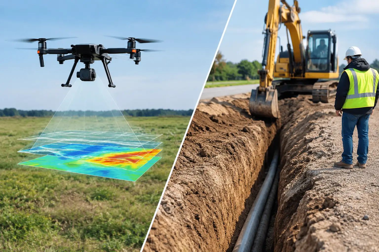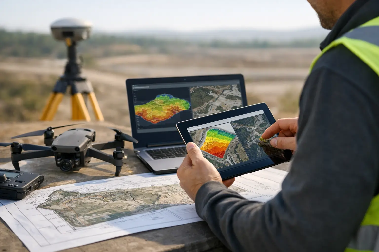
A drone survey becomes commercially useful only when its findings can withstand technical review, engineering design scrutiny, and future audit. Drone survey reporting standards are therefore not a formatting exercise. They are the control framework that connects field acquisition, sensor calibration, processing decisions, accuracy testing, interpretation, and final decision-making.
For mining, utilities, water resources, energy, and major infrastructure programs, a visually compelling orthomosaic or point cloud is not sufficient. Project owners need to know what was measured, how it was measured, where uncertainty remains, and whether the output is fit for the decision at hand. A report that cannot answer those questions transfers risk downstream to the owner, consultant, or EPC contractor.
What Drone Survey Reporting Standards Must Prove
There is no single universal reporting template for every drone survey. A LiDAR corridor survey, an aeromagnetic exploration campaign, and a confined-space photogrammetry inspection have different sensor behaviors, error sources, and acceptance criteria. The standard should be selected according to the required deliverable and its intended use.
The common requirement is traceability. Every material result should be traceable from the final map, model, anomaly target, volume estimate, or inspection finding back through the processing workflow to the original acquisition records. This establishes a defensible chain of evidence.
A decision-grade report should prove five things: the survey area and scope were correctly defined; the platform and sensors were suitable for the objective; the data were acquired under controlled conditions; the processing and QA/QC workflow was documented; and the accuracy achieved is appropriate for the stated use.
That distinction matters. A dataset can be internally consistent but still unsuitable for setting out construction works, calculating contractual volumes, defining a drilling target, or locating a buried utility. Reporting must state the intended application clearly rather than allowing users to infer precision from a map's appearance.
Start With a Clear Survey Basis
The report should establish the project control framework before presenting any results. This includes the survey boundary, coordinate reference system, vertical datum, units, mapping scale or resolution, required accuracy, exclusions, and date of acquisition.
Coordinate and vertical reference errors remain among the most consequential failures in geospatial delivery. If a digital terrain model is delivered in a local datum while the client combines it with a national engineering dataset, the resulting offset can affect drainage design, earthworks quantities, utility clearances, and asset positioning. The report must identify the horizontal and vertical reference systems in full, including geoid model where orthometric heights are used.
Ground control points and checkpoints require separate treatment. Control points constrain the model during processing. Independent checkpoints test the model after processing. A report that presents only control-point residuals may demonstrate a well-fitted adjustment, but it does not independently validate output accuracy.
For RTK or PPK drone operations, the report should also identify the correction source, base-station coordinates, observation duration where relevant, and any network or satellite positioning limitations. In desert, remote, or high-interference environments, these details are operationally significant rather than administrative.
Acquisition Records Are Part of the Deliverable
Field records should show how the survey was executed, not simply that it occurred. This creates an audit trail for repeat work, dispute resolution, and later integration with other datasets.
For photogrammetry and LiDAR, the acquisition section normally records aircraft platform, sensor model, lens or scanner configuration, flight altitude, speed, line spacing, overlap, ground sampling distance, scan angle limits, GNSS/IMU configuration, and weather conditions. It should also identify operational interruptions, reflights, inaccessible areas, and any departures from the approved flight plan.
For geophysical surveys, reporting needs to go further. Aeromagnetic and electromagnetic work should document sensor type, sampling rate, sensor altitude or terrain clearance, line orientation and spacing, tie-line design, magnetic base-station procedures, diurnal correction method, compensation approach where applicable, and calibration checks. The final interpreted output is only as credible as the acquisition geometry and correction record supporting it.
Sensor calibration status belongs in the report or controlled appendices. This may include camera calibration, LiDAR boresight alignment, IMU performance verification, magnetometer checks, radiometric calibration, or spectral reference procedures. A calibration certificate alone is not enough if the field configuration or operating conditions introduced a material deviation.
QA/QC Should Be Measurable, Not Descriptive
Statements such as “data were quality checked” do not provide a client with a basis for acceptance. QA/QC reporting should define the tests applied, thresholds used, results achieved, exceptions identified, and corrective action taken.
For mapping outputs, this commonly includes checkpoint residuals, root mean square error, systematic bias review, point density statistics, completeness checks, classification quality, strip alignment, and edge matching between adjacent survey blocks. Accuracy should be reported separately in horizontal and vertical terms where both are relevant.
For example, a terrain model may achieve acceptable vertical accuracy over bare ground but degrade under dense vegetation, around steep cut slopes, or near reflective industrial structures. The report should identify these conditions and state whether the reported accuracy represents all land cover classes or only tested surfaces. This is where a technically honest report protects both the survey contractor and project owner.
Geophysical QA/QC should address line-to-line consistency, tie-line crossover statistics, noise characterization, altitude control, leveling performance, cultural interference, data rejection criteria, and correction residuals. If a target area is affected by powerline noise, ferrous infrastructure, difficult terrain following, or limited ground clearance, that limitation should be mapped and discussed in relation to interpretation confidence.
Report the Processing Lineage
Processed geospatial data cannot be evaluated properly without knowing how raw observations became final products. The report should provide a controlled processing narrative, including software environment and version, key parameters, filtering methods, classification logic, interpolation method, and any manual editing.
For LiDAR, this may include trajectory processing, strip adjustment, point-cloud classification, noise removal, ground-model generation, breakline use, and rasterization parameters. For photogrammetry, it may include image alignment, camera optimization, dense reconstruction settings, control adjustment, orthorectification, and surface-model generation.
The key is not to disclose every button selected in a software interface. It is to disclose the technical decisions that can change the result. Aggressive filtering can remove legitimate small features. Interpolation can create an apparently continuous terrain surface across gaps. Manual classification can be necessary around complex assets, but it should be recorded because it introduces analyst judgment.
For interpreted geoscience products, the separation between measured data and interpretation must remain explicit. Magnetic derivatives, conductivity sections, structural lineaments, alteration indicators, and groundwater target zones are valuable decision tools, but they are not direct observations of subsurface geology. Reports should define the processing transform and provide confidence-ranked interpretations supported by the acquired evidence.
Deliverables Need Acceptance Criteria
A technically complete report should include a deliverables register that identifies each file, format, coordinate system, resolution, date, and intended use. This prevents a common failure in multi-contractor programs: receiving technically valid files that cannot be integrated into the client’s GIS, CAD, mine-planning, or engineering environment.
Acceptance criteria should be agreed before mobilization wherever possible. They may include positional accuracy, minimum point density, orthomosaic resolution, coverage percentage, classification requirements, anomaly detection thresholds, reporting format, and turnaround time. The correct threshold depends on the project. A regional groundwater reconnaissance survey does not need the same positional tolerance as a utility corridor intended to support detailed design.
Air Solutions applies this discipline by treating field logs, calibration evidence, processing records, QA/QC results, and interpreted outputs as one controlled technical package. The objective is not merely to deliver airborne data. It is to provide evidence that technical teams can use with confidence.
Drone Survey Reporting Standards for High-Value Decisions
The strongest reporting standard is one that makes limitations visible before they become project problems. It states where coverage was incomplete, where uncertainty increased, what assumptions were made, and which conclusions require ground confirmation. That transparency is not a weakness. It is the foundation of defensible geospatial intelligence.
When procurement teams evaluate a drone survey provider, they should assess reporting capability as closely as aircraft specifications or sensor payloads. Better field technology improves acquisition. Controlled, fully auditable reporting is what turns that acquisition into a reliable basis for investment, design, safety, and resource decisions.