
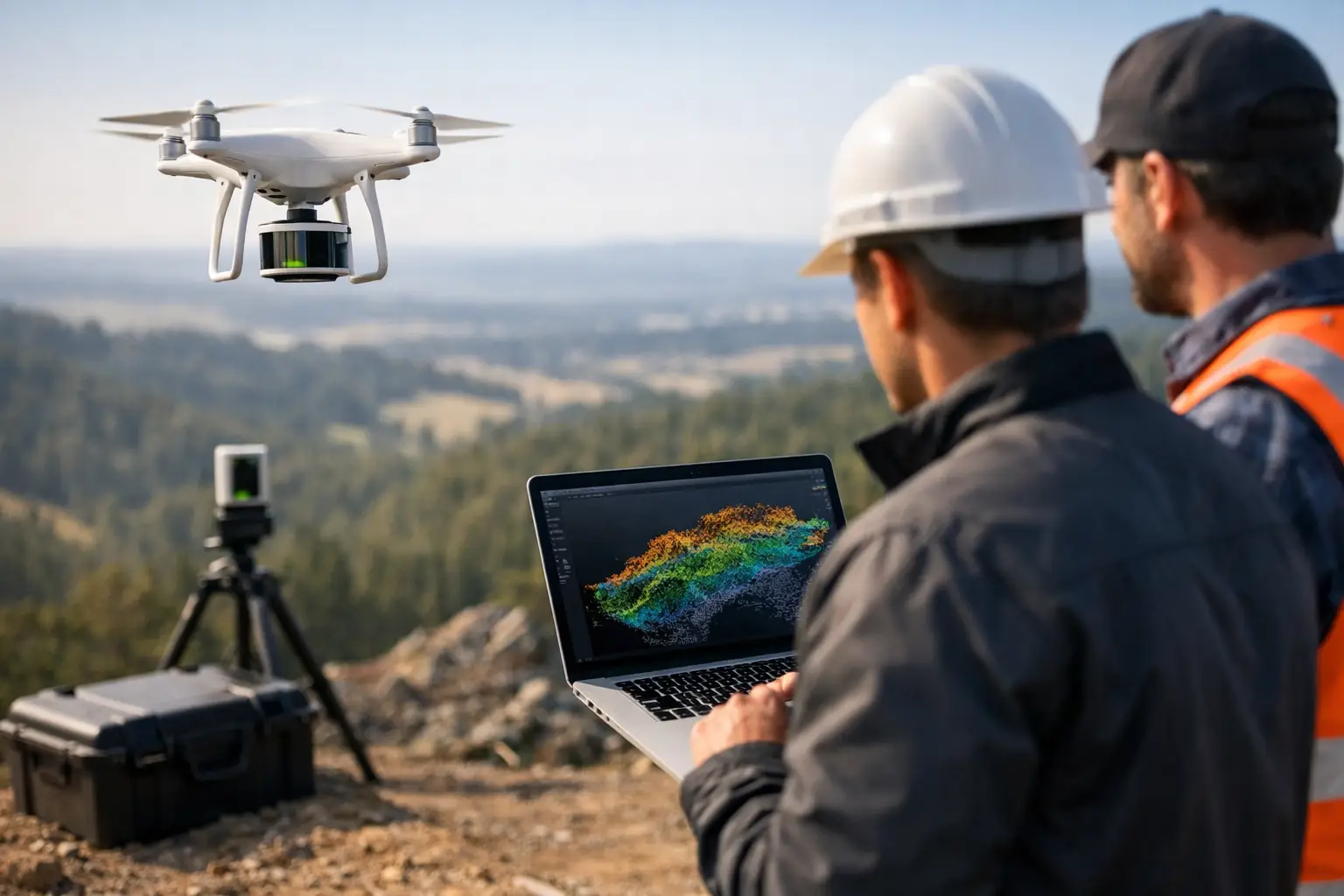
A credible drone lidar review does not begin with a sensor specification sheet. It begins with the engineering decision the survey must support: a mine design update, flood model, transmission corridor assessment, stockpile reconciliation, utility route, or construction-control surface. For industrial teams, the relevant question is not which payload appears strongest on paper. It is whether the complete airborne system can produce calibrated, traceable terrain intelligence at the required accuracy, density, coverage, and delivery schedule.
LiDAR has become a practical alternative to many ground and manned-aircraft survey methods because it can collect dense three-dimensional measurements from a rapidly mobilized platform. That advantage is real, but it is conditional. Payload quality, GNSS correction strategy, flight planning, vegetation conditions, ground control, calibration discipline, and processing methodology all influence the final deliverable.
Drone LiDAR Review: Evaluate the System, Not Just the Sensor
A LiDAR payload measures range by timing laser pulses reflected from surfaces. On a drone, that range data is combined with GNSS positioning and an inertial measurement unit, or IMU, to calculate a georeferenced point cloud. The resulting data can support bare-earth digital terrain models, surface models, contours, cross-sections, volumetrics, clearance assessments, and feature extraction.
The operational mistake is treating a point cloud as the final product. A dense cloud can still be poorly aligned, inconsistently classified, or unsuitable for engineering use. A lower-density acquisition, flown with disciplined overlap and supported by sound trajectory processing, may produce a more defensible terrain model than a higher-density dataset collected without adequate quality control.
For this reason, procurement teams should review the full chain of custody: mission design, sensor integration, calibration, field controls, trajectory solution, point-cloud processing, classification, validation, and reporting. Each stage must be documented well enough for a technical reviewer to understand how accuracy claims were established.
The Metrics That Matter in an Industrial LiDAR Review
Accuracy is a tested result, not a manufacturer claim
System accuracy is commonly expressed as vertical and horizontal error against independent checkpoints. These checkpoints should not be confused with control points used to adjust or constrain the dataset. Independent checks are what demonstrate whether the final surface meets the stated tolerance.
A serious review asks for the reference datum, coordinate system, geoid model, checkpoint method, terrain type, and statistical reporting convention. Root mean square error is useful, but it should be accompanied by the number and distribution of checkpoints. Ten points on open, level ground do not validate performance across steep benches, drainage channels, compacted pads, and vegetated corridors.
Accuracy requirements also vary by use case. A reconnaissance terrain model for regional water-resource screening has a different tolerance than an as-built surface supporting earthworks quantities or a corridor model used to assess conductor clearance. The survey specification should define the decision threshold first, then select equipment and methodology capable of meeting it with margin.
Point density must match the target feature
Point density is frequently used as a proxy for quality. It is only one variable. Density should be evaluated alongside footprint size, scan angle, pulse repetition rate, flight altitude, speed, overlap, and surface reflectivity. More points are valuable only when they improve representation of the features that matter.
For broad terrain mapping, sufficient ground returns and reliable classification may matter more than extremely high nominal density. For narrow infrastructure corridors, detailed asset geometry and side coverage can be more important. For stockpile surveys, coverage consistency around steep faces and occluded areas often determines whether volume calculations are reliable.
Ask whether the stated density refers to all returns or classified ground points. In vegetated terrain, these are materially different numbers. The useful measure for a bare-earth model is the quantity and distribution of valid ground returns after classification, not the maximum number of laser shots transmitted.
Vegetation penetration has limits
LiDAR can identify ground beneath partial vegetation cover because multiple laser returns may be recorded from a single emitted pulse. It does not see through dense vegetation in every condition. Canopy structure, leaf-on versus leaf-off conditions, understory, terrain slope, and acquisition geometry affect the probability of achieving enough ground hits for reliable terrain extraction.
A disciplined provider will state the expected limitations before mobilization. If ground visibility is likely to be poor, the project team may need higher overlap, a lower flight altitude, revised acquisition timing, supplemental ground survey, or a different interpretation approach. Claims of guaranteed bare-earth performance without reference to site conditions should be treated cautiously.
Calibration and trajectory quality determine confidence
The point cloud inherits errors from the GNSS and IMU trajectory. Poor boresight calibration between the laser scanner and inertial unit can create visible offsets between flight lines, especially on roofs, road edges, poles, and vertical faces. These errors may be subtle in a broad overview and significant in engineering analysis.
A capable workflow includes pre-mission checks, calibrated sensor integration, controlled flight-line geometry, strip alignment analysis, and post-processing verification. The review should ask how the provider detects systematic bias, how often the system is recalibrated, and whether flight-line discrepancies are reported before final classification and model generation.
A Practical Acceptance Framework
The most effective review documents acceptance criteria before the aircraft launches. This avoids disputes created by vague phrases such as “high resolution” or “survey grade.” A project specification should define at least the following elements:
- Required horizontal and vertical accuracy, including the checkpoint validation method.
- Minimum ground-point density and coverage expectations for each terrain class.
- Coordinate reference system, vertical datum, geoid, and units.
- Deliverables, including classified point cloud, terrain model, contours, breaklines, orthomosaic where required, and technical report.
- QA/QC evidence, including calibration records, strip alignment results, control/checkpoint residuals, and completeness checks.
- Exclusions and constraints, such as dense vegetation, standing water, active equipment, restricted airspace, or inaccessible control locations.
This framework shifts a drone LiDAR review from a product comparison into a measurable service evaluation. It also enables technical procurement teams to compare proposals on equivalent terms rather than selecting on headline point density or lowest acquisition cost.
What the Final Deliverables Should Prove
Raw LAS or LAZ files are valuable, but they are not sufficient for most project owners. A decision-grade delivery package should make the survey usable by engineers, geologists, planners, and GIS teams without requiring them to reconstruct the processing history.
The final package should include a clearly organized point cloud with defined classifications, a digital terrain model that excludes non-ground objects where appropriate, and a digital surface model when structures or vegetation are relevant. Contours, sections, volumetric surfaces, corridor profiles, and change-detection outputs should be generated to the project specification rather than treated as generic add-ons.
Equally important is the technical report. It should identify the acquisition date, sensor configuration, flight parameters, control methodology, processing workflow, accuracy assessment, known limitations, and final QA/QC outcomes. This record makes the dataset auditable and establishes whether it is fit for the decision at hand.
For regulated infrastructure, mining, water, and energy work, traceability has commercial value. A terrain model that cannot be explained under technical review can delay approvals, create design uncertainty, or force repeat fieldwork. An auditable dataset reduces that exposure.
Where Drone LiDAR Produces the Strongest Return
Drone LiDAR is particularly effective where terrain access is difficult, time is limited, or personnel exposure must be reduced. Mine sites can use repeated acquisitions to monitor pit development, haul roads, benches, stockpiles, and drainage. Water-resource programs can use terrain derivatives to interpret catchments, wadis, erosion pathways, and recharge controls. Utilities and EPC teams can use corridor mapping to support route selection, clearance review, construction planning, and as-built verification.
Its value increases when LiDAR is integrated with other evidence. Orthophotography provides visual context. Photogrammetry can contribute detailed colorized surface information. Magnetic, electromagnetic, hyperspectral, or ground-based observations may add geological, environmental, or utility intelligence that terrain data alone cannot provide. The correct sensor mix depends on the target decision, not on the availability of a particular payload.
Air Solutions applies this principle by treating airborne acquisition as a controlled geospatial intelligence process rather than a flight service. The objective is an interpreted, quality-assured deliverable that can withstand engineering and investment scrutiny.
The right procurement question is therefore straightforward: can the provider demonstrate how its field methods, calibration controls, validation results, and reporting package will reduce uncertainty on this specific site? If the answer is documented before mobilization, the LiDAR survey is far more likely to deliver usable ground truth when the project team needs it.