
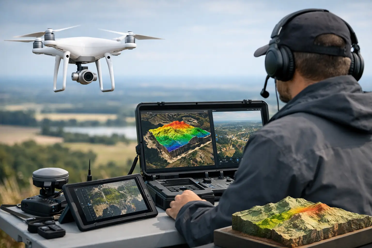
A delayed terrain model can stall a drilling program. An incomplete utility map can derail a corridor package. A confined-space inspection that requires rope access can add risk before any engineering decision is made. That is why drone geospatial intelligence solutions have moved from niche capability to core project infrastructure across mining, water, energy, and major civil works.
For enterprise buyers, the value is not the aircraft itself. It is the speed, sensor fit, positional control, and interpretation pipeline behind the mission. Decision-makers are not purchasing flight hours. They are commissioning calibrated, traceable, and project-ready intelligence that can stand up to internal review, contractor coordination, and regulatory scrutiny.
What drone geospatial intelligence solutions actually deliver
The term is often used too loosely. In practice, drone geospatial intelligence solutions combine airborne data acquisition, positioning control, sensor calibration, processing, interpretation, and reporting into a single operational workflow. The output is not just imagery or a point cloud. It is a defensible technical product designed for a specific decision.
That distinction matters. A mining team may require aeromagnetic and radiometric interpretation to refine structural targets and support drill planning. A water authority may need terrain mapping, lineament analysis, and electromagnetic indicators to narrow groundwater investigation zones. An EPC contractor may need high-resolution LiDAR and photogrammetry to verify earthworks progress, drainage behavior, and corridor constraints. Each case depends on different sensors, processing tolerances, and reporting formats.
The strongest providers treat drone surveys as an engineering service, not a commodity flight task. Flight planning is tied to terrain, magnetic noise environment, line spacing, overlap, sun angle, wind exposure, and intended interpretation. Ground control, IMU behavior, base station configuration, and sensor synchronization are managed as part of a fully auditable chain.
Why enterprises are shifting to drone geospatial intelligence solutions
Manned aircraft still have a role on very large regional campaigns, and ground methods remain necessary where sensor physics or access constraints demand them. But many industrial survey requirements sit in the middle ground - too complex for basic site drones, too localized or time-sensitive for conventional airborne mobilization, and too risky or slow for crews on foot.
Drone geospatial intelligence solutions fill that gap with a better operating model. Mobilization is faster, especially for pilot surveys and targeted follow-up work. Flight altitude and line spacing can be optimized for higher-resolution data over compact or irregular project areas. Repeat missions are easier to schedule, which improves monitoring and change detection. In harsh environments, particularly desert terrain, the logistics profile is lighter and the exposure of field personnel is reduced.
There is also a commercial advantage. Buyers increasingly need interpreted outputs sooner because project gates are moving faster. Exploration budgets are staged. Infrastructure packages are issued in shorter cycles. Utility and environmental constraints need to be identified before detailed engineering advances too far. When airborne data can be acquired, processed, and quality-checked on tighter timelines, downstream teams make fewer assumptions and fewer costly reworks.
Where the real value sits - in sensor integration and interpretation
Single-sensor missions can be effective, but high-value industrial decisions rarely depend on one data layer alone. The practical strength of drone geospatial intelligence solutions is multi-sensor integration.
LiDAR defines terrain and structure with high geometric fidelity. Photogrammetry adds visual context and high-resolution surface models. Aeromagnetic data supports structural geology, fault tracing, and subsurface targeting. Electromagnetic methods contribute conductivity information relevant to groundwater, alteration, and buried features. Hyperspectral acquisition can support material discrimination where surface mineralogy or environmental indicators matter. Radiometric mapping contributes another layer of geological context.
Used separately, these datasets answer narrow questions. Fused properly, they reduce ambiguity. A magnetic anomaly without terrain correction, structural context, or optical correlation may remain speculative. A drainage model without dense elevation control may miss subtle relief behavior. A suspected utility corridor interpreted from imagery alone may lack the confidence needed for construction planning. Cross-validated data layers produce stronger decisions because each sensor constrains the others.
This is where experienced operators separate themselves from general drone providers. The challenge is not only collecting data. It is aligning sensors, maintaining calibration, correcting for platform effects, documenting QA/QC, and presenting interpreted outputs in forms technical teams can use immediately.
What procurement teams should evaluate
Buyers often compare drone survey vendors on aircraft type, sensor list, or day rate. Those factors matter, but they are not enough for mission-critical work.
The first question is whether the provider can produce decision-grade deliverables rather than raw outputs. A point cloud, orthomosaic, or magnetic raster has limited value without processing metadata, positional confidence, and interpretation tied to the use case. Procurement teams should ask how the survey is validated, what tolerances are applied, how anomalies are flagged, and how re-flight criteria are defined.
The second question is operational discipline. Desert conditions, remote mobilization, thermal load, dust exposure, and magnetic contamination all affect data quality. A provider working in Saudi Arabia and the Gulf must show field procedures that account for heat, logistics, GNSS reliability, aircraft endurance, and site access controls. Good results in benign environments do not automatically transfer to industrial desert operations.
The third question is sector fluency. Mining, groundwater, linear infrastructure, and confined-space inspection all require different mission design and reporting logic. A vendor that understands geological interpretation, utility risk, or infrastructure QA will frame the survey around the client decision, not around a generic flight package.
How drone geospatial intelligence solutions support key sectors
In mining and mineral exploration, drones are now central to target refinement, pit and stockpile monitoring, structural mapping, and environmental baseline work. High-resolution airborne geophysics can close the gap between regional datasets and ground campaigns. That allows exploration managers to test priority zones faster and deploy field crews more selectively.
In water resources, the benefit is often in narrowing uncertainty. Groundwater programs rarely begin with one perfect dataset. They are built by combining terrain, drainage, lineament patterns, conductivity indicators, and geological context. Drone-based surveys help hydrologists rank zones, reduce blind drilling, and create a more defensible basis for field investigation.
In energy and utilities, asset owners need accurate corridor intelligence and lower-risk inspection methods. Drone surveys support route planning, buried utility detection programs, substation and right-of-way mapping, and repeatable asset condition assessment. The gain is not just speed. It is the ability to deliver consistent, spatially referenced evidence across complex networks.
For major infrastructure and Vision 2030 development programs, schedule pressure is constant. Topographic control, earthworks verification, progress measurement, and constraint mapping all benefit from rapid repeat surveys. A disciplined provider can feed planners, designers, and contractors with current geospatial layers rather than outdated assumptions.
The limits of the model
Drone deployment is not a universal substitute for every airborne or ground method. Survey extent, regulatory conditions, airspace restrictions, payload limitations, and sensor physics still define what is feasible.
Very large regional programs may remain better suited to manned platforms. Deep subsurface objectives may still require complementary ground geophysics or drilling. Dense urban or operationally congested sites can restrict flight profiles. In some cases, the right answer is a hybrid campaign where drone data bridges the resolution gap between broad airborne coverage and targeted ground truth.
Serious providers state these limits clearly. Overselling the platform usually leads to weak scope design and avoidable rework.
Why execution quality matters more than hardware
The drone market often focuses on aircraft performance, but enterprise buyers should pay closer attention to execution maturity. Two teams can fly the same sensor and deliver very different outcomes.
Execution quality shows up in calibration records, control strategy, mission repeatability, noise management, environmental compensation, processing workflows, interpretation discipline, and reporting traceability. It also shows up in how exceptions are handled. If the wind profile changes, magnetic interference appears, or a control point fails validation, the provider needs predefined corrective actions rather than improvised field decisions.
This is where a specialist operator such as Air Solutions becomes relevant. The differentiator is not simply access to drone platforms. It is the ability to deploy multi-sensor missions in harsh operating environments and deliver interpreted geoscience and engineering outputs that are fully auditable and aligned to the client decision.
What the next phase looks like
The next phase of drone geospatial intelligence solutions is not about adding more sensors for the sake of complexity. It is about tightening the link between acquisition and action. Buyers want shorter intervals between survey, interpretation, and project decision. They want datasets that can be compared across time without hidden inconsistencies. They want reporting that procurement, engineering, and technical leadership can all trust.
That standard favors providers with disciplined QA/QC, integrated sensing capability, and sector-specific interpretation. It also favors clients who scope surveys around a decision point rather than around a generic request for data.
If the question is whether drone geospatial intelligence has matured, the answer is yes. The more useful question is whether the survey partner can convert airborne measurement into technical evidence your team can defend when the project moves to funding, design, or field execution.