GPR & Underground
Utilities.
Ground-penetrating radar surveys for buried utility detection, subsurface void mapping, pre-construction site clearance, and forensic investigation. Multi-frequency arrays for shallow to mid-depth targets.
- System
- Multi-frequency GPR array
- Frequencies
- 100, 250, 500 MHz
- Depth (low freq)
- 0–8 m
- Resolution (high freq)
- <10 cm
- Coverage
- ~2 km²/day
Subsurface clearance before you dig.
Strike unknown infrastructure during construction and the cost compounds — schedule slip, equipment damage, utility outage, safety incident. GPR pre-clears the site by imaging buried utilities, voids, archaeological features, and reinforcement networks before earthmoving begins.
We operate multi-frequency GPR arrays — 500 MHz for shallow utility detection, 250 MHz for general subsurface mapping, 100 MHz for deeper targets. Data is migrated, filtered, and interpreted to produce vectorised utility maps tied to your coordinate system.
Output is a GIS-ready utility layer with confidence-graded interpretation, suitable for direct integration into BIM and design platforms.
Vectorised utility layer
Buried utility lines interpreted from migrated radargrams, with confidence grading. Direct GIS/BIM input.
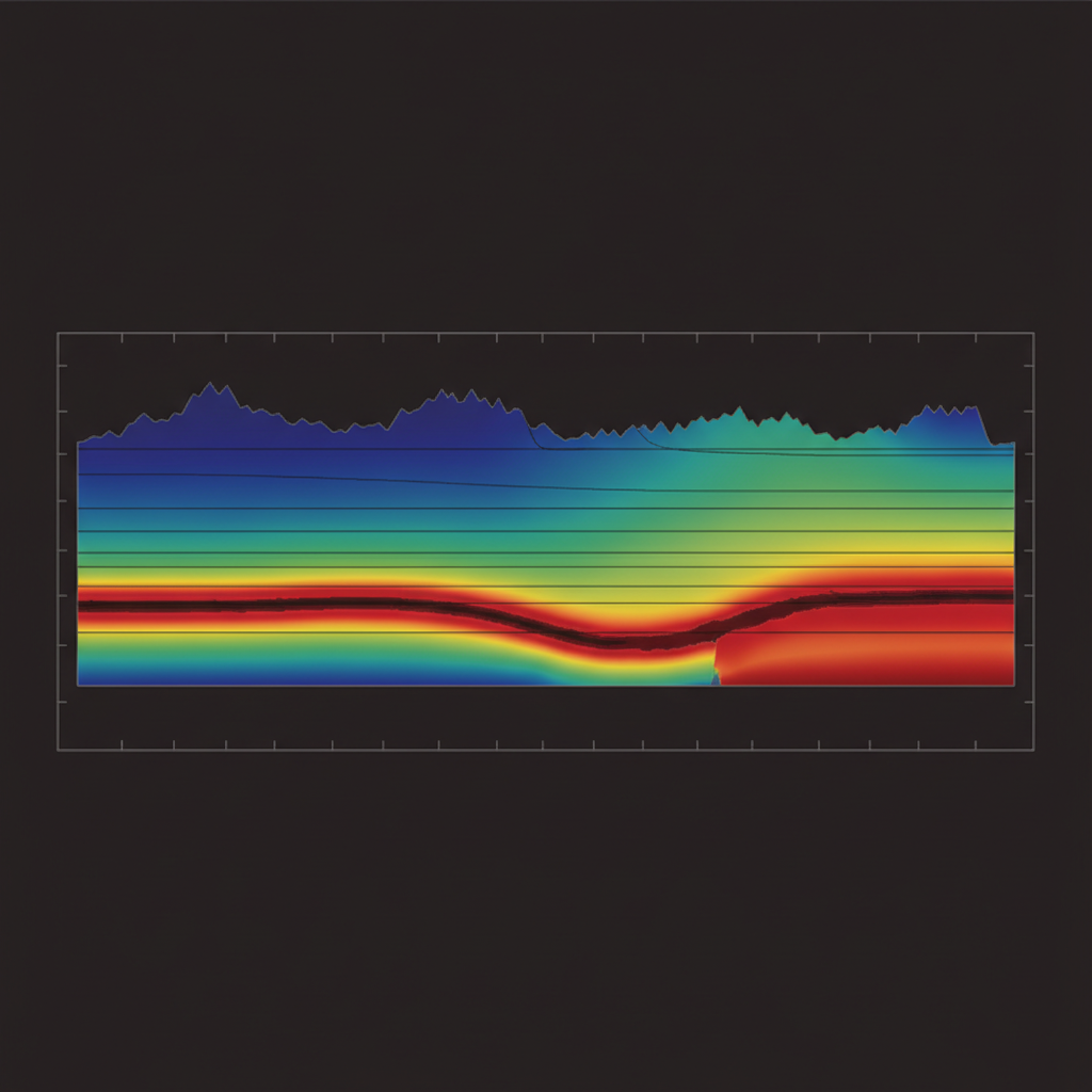
Time-depth profile
Background removal → bandpass filtering → time-zero correction → migration → topographic correction → utility picking + classification → GIS export.
From radargram to utility map.
Survey Design
Frequency selection against target depth. Line spacing tuned to expected utility density.
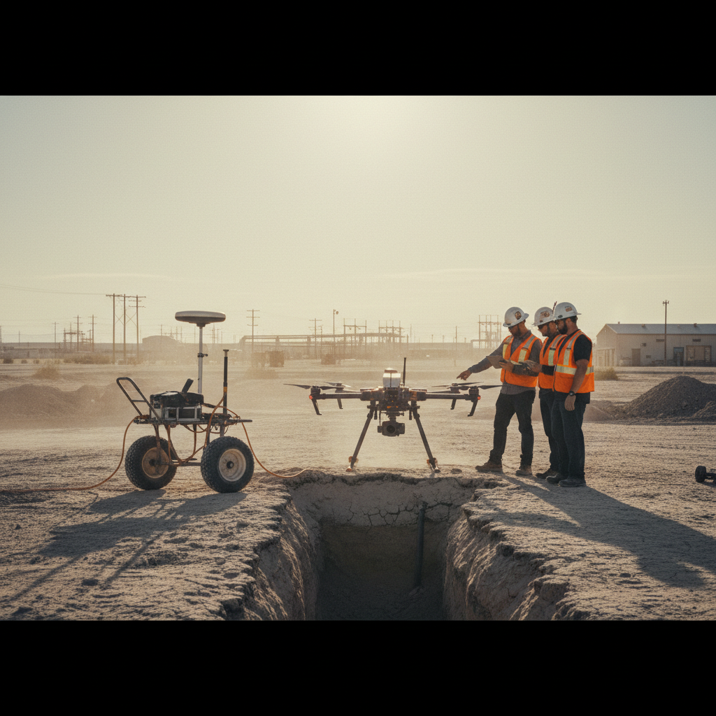
Field Acquisition
GPR cart pushed along grid with GNSS positioning. Real-time quality check on radar response.
Processing & Migration
Background removal, filtering, time-zero correction, migration, and topographic correction.
Interpretation & Report
Utility picking, classification, vectorisation, confidence grading. GIS-ready utility layer + interpretation report.
What you receive.
Vectorised utility layer
Interpreted utilities as 3D vectors with confidence grading.
Time-depth sections
Processed radargrams along survey lines.
Depth-slice maps
Plan view at client-specified depth intervals.
Utility classification
Type assignment (pipe, cable, conduit, void) per interpretation.
Site clearance report
Pre-construction clearance certificate with all detected features.
Survey log + QA/QC
Raw data, processing log, calibration records, chain of custody.
Where this service is deployed.
Clear your site.
Share your AOI and target depth. We respond with frequency selection, survey design, and timeline within 48 hours.