
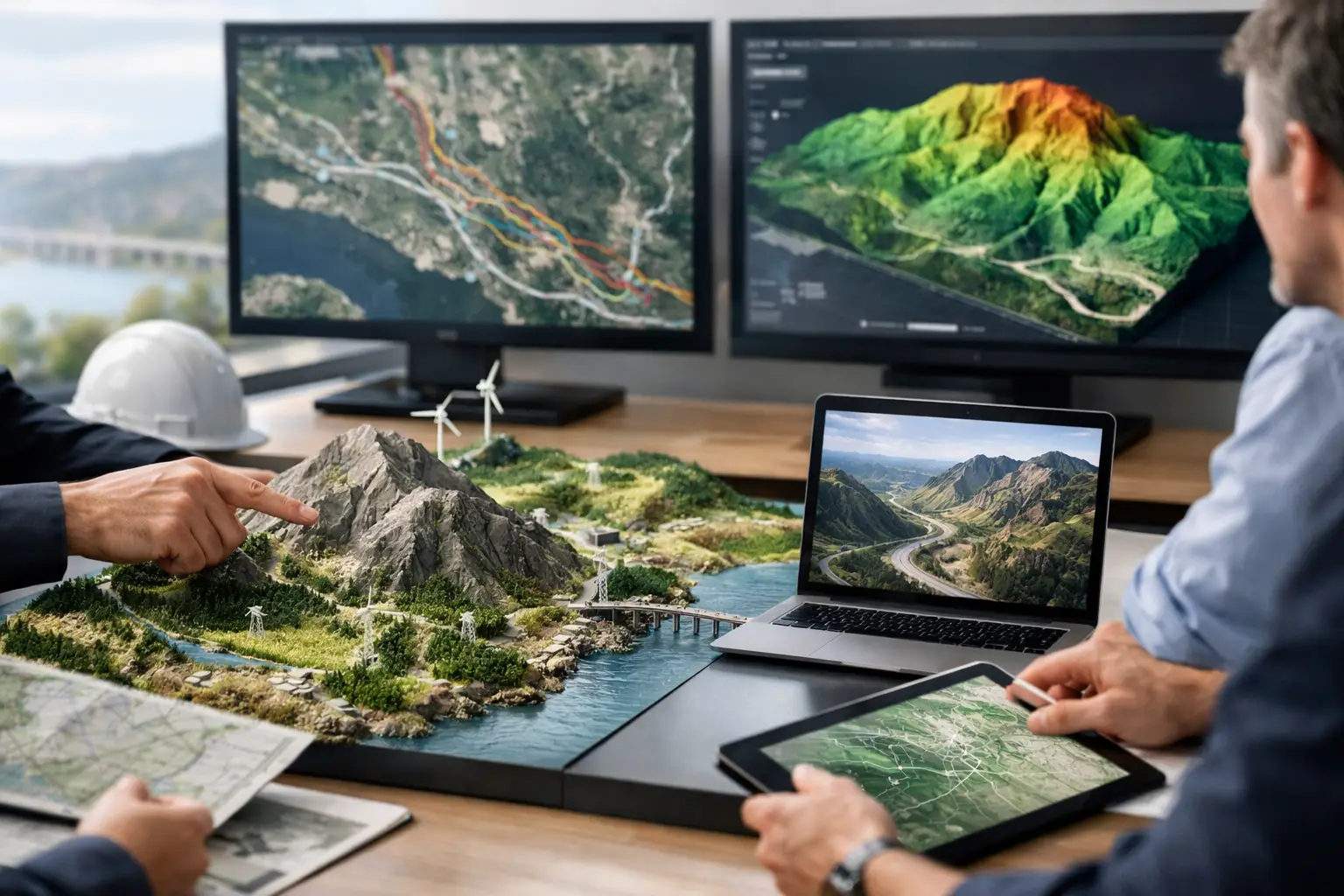
A corridor can appear ready for construction and still contain the conditions that drive redesign, claims, or unsafe field work: unrecorded utilities, unstable drainage paths, undocumented fills, shallow rock variability, or access constraints hidden by sparse legacy mapping. Terrain intelligence for infrastructure replaces that uncertainty with calibrated, location-specific evidence before it becomes a cost and schedule problem.
For project owners, EPC contractors, utilities, and public agencies, the objective is not simply to acquire aerial imagery. It is to produce an auditable geospatial basis for routing, design development, construction planning, asset integrity, and environmental control. That requires the right sensing modality, disciplined ground control, traceable QA/QC, and interpretation by specialists who understand the engineering decision at stake.
What terrain intelligence means in an infrastructure context
Terrain intelligence is the integrated understanding of surface form, built assets, ground conditions, and spatial constraints across a project area. It combines high-resolution elevation data with imagery, GIS context, and, where the risk warrants it, subsurface or material-response data. The output is a decision-grade model rather than a collection of disconnected survey files.
LiDAR is often the core acquisition method because it can generate dense, accurately classified point clouds and bare-earth terrain models across large, complex sites. Photogrammetry adds high-resolution visual context for earthworks, structures, stockpiles, pavement conditions, and construction progress. Aeromagnetic, electromagnetic, radiometric, and ground-penetrating radar surveys can extend the model where geology, buried infrastructure, groundwater, or material variation changes project risk.
No single sensor answers every question. A digital elevation model may define drainage and cut-fill volumes with high confidence while offering no direct evidence of buried metallic utilities. Magnetic data may identify linear anomalies requiring investigation but cannot independently certify utility depth or type. The proper approach is therefore risk-led: select sensors against the failure modes that matter to the asset, then cross-validate findings against records, field observations, and targeted verification.
Where terrain intelligence for infrastructure creates value
The greatest value occurs early, when a modest survey scope can prevent a major commitment to an unsuitable route, layout, or construction method. It also remains valuable through delivery and operations, particularly where assets cross remote terrain or where conditions change quickly.
Route selection and corridor engineering
Linear infrastructure depends on understanding what lies between two points, not merely the endpoints. Roads, pipelines, transmission lines, rail alignments, and utility corridors must account for grade, drainage, rock outcrop, wadi crossings, existing services, encroachments, access, and environmental constraints.
A LiDAR-derived bare-earth model supports slope classification, profile extraction, watershed analysis, line-of-sight review, and preliminary earthwork estimation. Orthomosaics place those measurements in operational context, allowing planners to identify informal tracks, fences, structures, stockpiles, and active work areas. In arid regions, this distinction is particularly important: low-relief terrain can conceal drainage channels and flood pathways that become critical during infrequent but high-consequence storm events.
Utility risk and brownfield development
Brownfield sites introduce a different problem. Existing drawings may be incomplete, coordinate systems may not align, and decades of modifications can leave a gap between the recorded asset base and field reality. Terrain intelligence establishes a controlled spatial framework for reconciling available records with observed surface features and utility investigation results.
Magnetic and electromagnetic methods can help prioritize locations for further investigation by identifying anomalous responses associated with buried ferrous infrastructure, conductive utilities, fill boundaries, or other subsurface contrasts. Ground-penetrating radar can be effective in suitable ground conditions and at appropriate depths. Results must be presented with confidence limits, acquisition parameters, and clear interpretation logic. A geophysical anomaly is evidence to investigate, not an automatic utility designation.
This distinction matters for technical procurement and construction safety. Defensible reporting separates measured observations, interpreted features, and verification requirements, giving the owner a clear path from initial screening to intrusive confirmation where necessary.
Earthworks, drainage, and construction control
Topographic control is not a one-time deliverable. On major sites, repeatable drone acquisition creates a current record of changing grades, material movement, drainage controls, and access conditions. Comparing successive surface models can quantify cut and fill, stockpile volumes, embankment progression, and excavation advance without placing survey crews in active plant zones.
The benefit is not just speed. Consistent acquisition specifications and stable control enable change detection that can be reviewed, reproduced, and incorporated into progress reporting. For contractors, this improves measurement confidence. For owners and lenders, it creates an independent spatial record of executed work.
There are limits. Volume calculations are only as reliable as surface definition, ground control, datum management, and exclusion of vegetation, equipment, or temporary obstructions. A technically credible program documents these factors rather than reporting a single volume without a stated uncertainty basis.
Asset inspection and operational resilience
Infrastructure does not stop changing after handover. Erosion near crossings, settlement around facilities, encroachment within rights-of-way, and vegetation growth around energy assets can create operational exposure long before a failure is visible from routine inspections.
Repeat LiDAR and photogrammetry surveys provide a measurable baseline for condition monitoring. For inaccessible structures and confined spaces, drone platforms reduce personnel exposure while collecting imagery, video, thermal data where appropriate, and dimensional information. The inspection plan should be driven by the asset's inspection criteria, not by the availability of a drone. Resolution, viewing angle, lighting, positional accuracy, and defect classification rules all affect whether the output can support maintenance decisions.
From airborne data to engineering evidence
The difference between a survey product and terrain intelligence is the control applied between acquisition and decision. A high-performance workflow starts with a defined decision register: What must be located, measured, classified, or ruled out? What accuracy, coverage, and confidence are required? Which outputs must integrate with design, GIS, BIM, or asset-management environments?
Field execution then establishes survey control, sensor calibration, flight planning, environmental constraints, and safety procedures. In desert and industrial environments, operational planning must account for heat, dust, wind, restricted airspace, electromagnetic interference, and limited access. Rapid mobilization has value only when it preserves data quality and site controls.
Processing should include trajectory review, calibration verification, point-cloud classification, image quality assessment, coordinate validation, and independent checks against control and checkpoints. Multi-sensor data fusion must maintain lineage from source observations to interpreted layers. If a route constraint, anomaly, or terrain break informs a design recommendation, the project team should be able to trace how that conclusion was reached.
The final deliverable should be organized around use. Depending on scope, it may include classified point clouds, orthomosaics, digital terrain and surface models, contours, breaklines, slope and drainage analyses, volumetric reports, anomaly maps, utility-risk zones, and an interpretation report. Deliverables should state coordinate reference systems, vertical datum, acquisition dates, accuracy results, exclusions, and known limitations. This is what makes the work fully auditable during design reviews, procurement assessments, and disputes.
Choosing the right survey scope
More data is not always better. A broad-area LiDAR survey may be the most efficient first step for a greenfield corridor, while a smaller targeted geophysical program may be more valuable at a congested crossing or plant expansion area. The scope depends on terrain complexity, asset criticality, legacy-data quality, required design stage, and the cost of being wrong.
A practical procurement strategy often uses staged evidence. Start with a wide-area terrain and imagery baseline. Use the findings to focus detailed utility, geotechnical, hydrological, or inspection work on the areas that carry the highest uncertainty. This avoids applying expensive investigation uniformly while preserving a coherent spatial reference across the program.
Air Solutions applies this model through drone-based multi-sensor acquisition and interpreted geoscience reporting, with documented QA/QC designed for industrial and infrastructure decisions. The emphasis is not on delivering raw sensor outputs quickly. It is on producing calibrated evidence that project teams can test, defend, and act on.
The most useful next step is to identify the decision that currently has the largest uncertainty - route approval, earthwork quantity, drainage exposure, utility conflict, or asset condition - and define the evidence needed to reduce it. That is where terrain intelligence becomes a direct control on project risk.