High dry-well rate, deep aquifers
Integrated EM + GPR survey
Targeted productive wells
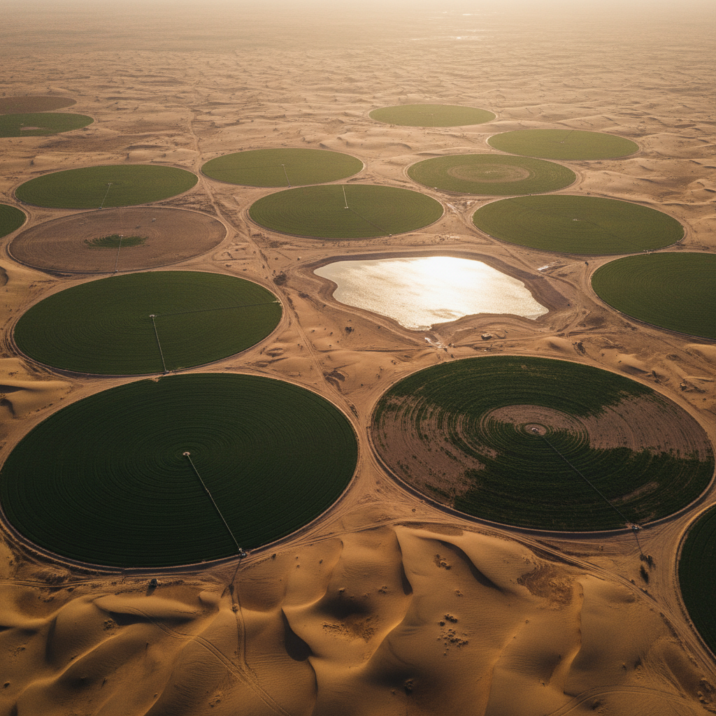
Conventional well-siting in Al-Qassim and Hail was producing an unacceptably high dry-well rate, with every failed drill carrying significant capital and timeline cost. The client needed a defensible, geophysically-grounded targeting method.
We flew an airborne EM survey across the AOI to image conductivity to ~300 m depth, integrated with selective ground-based GPR over priority zones for shallow refinement. The combined dataset was inverted into a 3D conductivity volume tied to existing well records.
The deliverable was a ranked drill-site recommendation report — each site backed by conductivity model, predicted aquifer thickness, salinity proxy, and structural context. Client drilling teams converted the report into a programme of productive water wells.
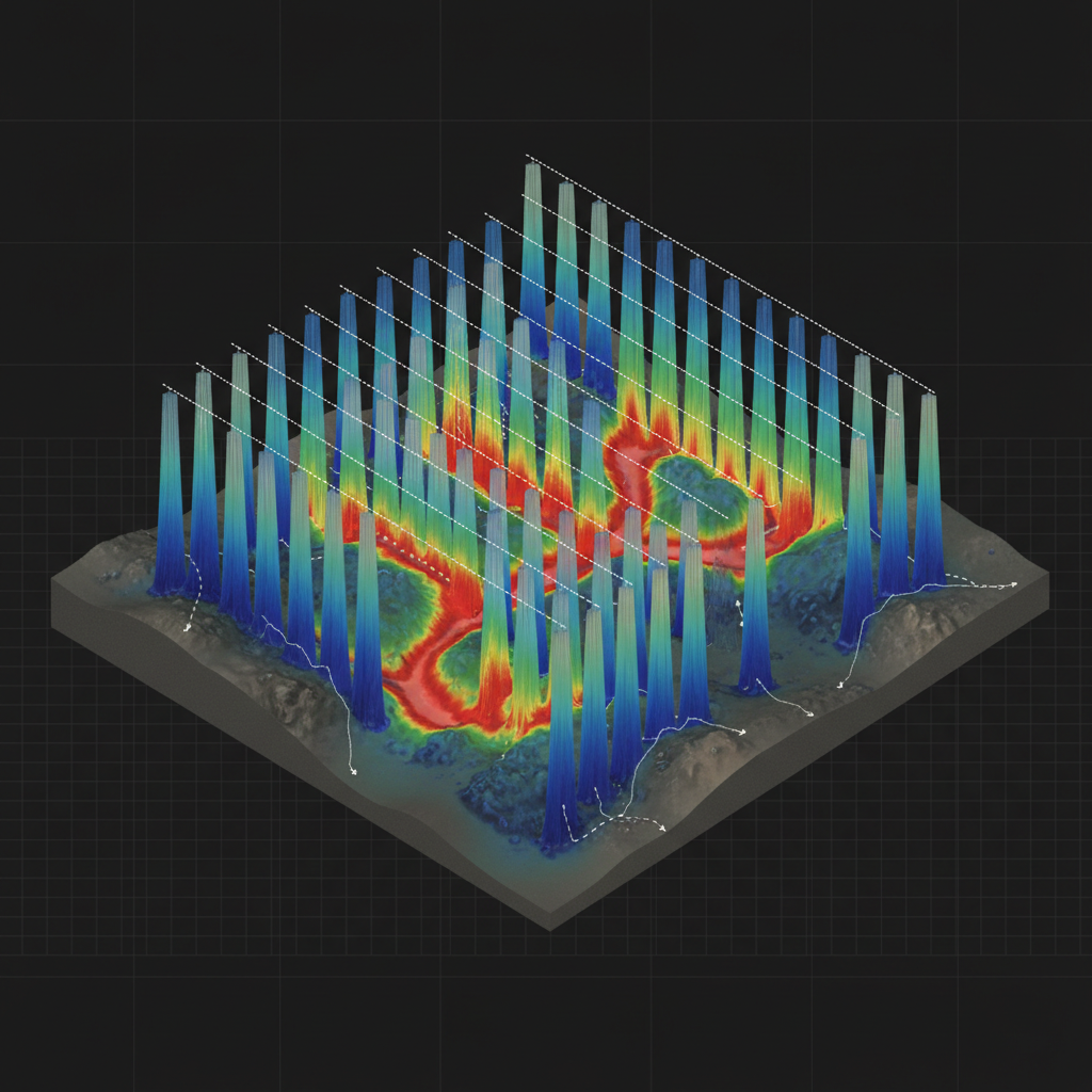
Aquifer 3D model
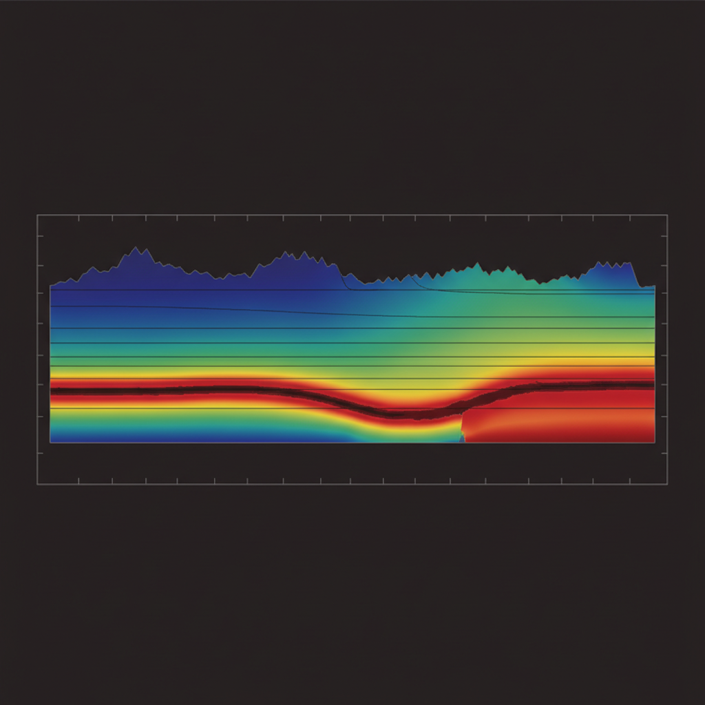
Conductivity-depth section
Target your aquifer next.
Share your AOI and existing well data. We respond with survey design and drill-target framework within 48 hours.