
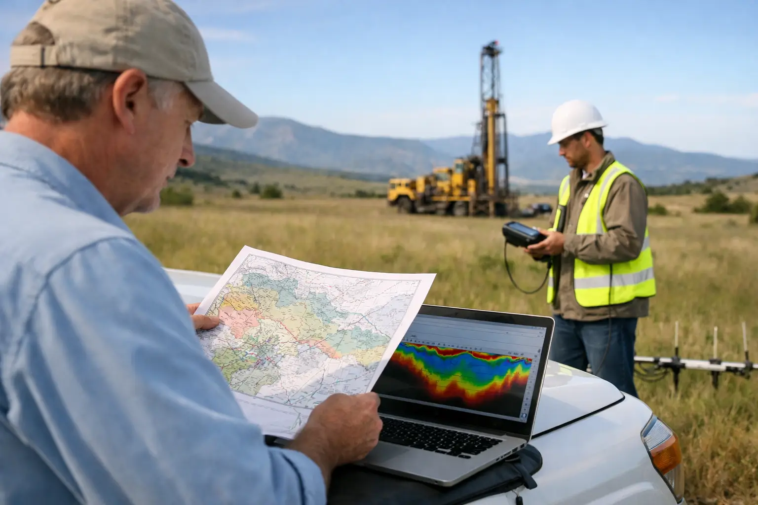
A groundwater program can lose months before the first borehole is drilled. The usual failure point is not the drilling contractor. It is an unclear survey brief that asks for “groundwater potential” without defining the aquifer system, target depth, decision threshold, or evidence needed to advance a drilling location. Knowing how to commission groundwater targeting survey work starts with converting a broad water-supply question into a traceable geoscience scope.
For municipal planners, industrial operators, mining projects, and major developments, a targeting survey is not a guarantee of water yield. It is a structured process for reducing uncertainty before committing to drilling, well construction, pump testing, and treatment infrastructure. The value lies in identifying and ranking hydrogeologically credible targets using calibrated airborne and ground evidence, existing records, terrain analysis, and geological interpretation.
Start With the Decision the Survey Must Support
Commissioning should begin with the decision the data must enable. A reconnaissance study intended to prioritize a large concession requires a different design from a pre-drill investigation for a specific wellfield. Treating both as the same assignment produces either insufficient resolution or unnecessary cost.
State whether the survey will support regional prospectivity screening, borehole siting, expansion of an existing wellfield, dewatering planning, recharge assessment, or identification of structural controls on groundwater movement. Then define the consequences of being wrong. A target selected for a remote exploration camp may justify a different confidence threshold than one intended to supply process water to a continuous industrial operation.
The project brief should also establish expected production requirements, water-quality constraints, target depth range, land-access limitations, and delivery deadlines. In arid settings, a geophysical anomaly can indicate salinity, clay-rich material, saturated alluvium, fractured bedrock, or a combination of these conditions. The survey must therefore be designed to distinguish plausible water-bearing zones from conductive but nonproductive materials.
Build the Groundwater Targeting Survey Scope Around the Geology
A credible scope begins with a desktop review. Before sensor selection or flight planning, the technical team should compile available borehole logs, pumping-test records, water-level data, geological maps, satellite imagery, structural interpretations, hydrochemistry, topography, drainage patterns, and prior geophysical surveys. The quality and geographic coverage of this evidence directly affect the survey design.
The central technical question is simple: what physical contrast is expected between a prospective groundwater feature and the surrounding ground? In unconsolidated basins, the relevant contrast may involve sediment thickness, clay content, salinity, or buried channel geometry. In hard-rock terrain, the priority may be faults, fracture corridors, weathered zones, dikes, and contacts that influence storage and permeability.
Electromagnetic methods are frequently valuable because electrical conductivity can help map changes associated with saturation, salinity, clay, and lithology. Their interpretation requires discipline. High conductivity alone does not prove a fresh, productive aquifer. Aeromagnetic data can strengthen the model by mapping structures and basement architecture that control fracture development or basin geometry. LiDAR, photogrammetry, and satellite-derived terrain products can define lineaments, wadis, drainage disruption, and subtle surface expressions of subsurface structure.
A multi-sensor design is often more defensible than reliance on a single dataset, but only where each sensor answers a defined geological question. More data is not automatically better. The program should use complementary measurements that can be cross-validated against borehole and field evidence.
Define the Required Survey Outputs
Do not commission a contractor solely to collect flight lines or raw geophysical measurements. Specify the interpreted products needed by hydrogeologists, drilling teams, engineers, and investment reviewers. At minimum, the scope should identify the following deliverables:
- Calibrated and georeferenced survey datasets with documented acquisition parameters.
- QA/QC records covering sensor checks, navigation performance, line consistency, altitude control, and data-processing steps.
- Processed geophysical products appropriate to the selected methods, including uncertainty or confidence information where applicable.
- Integrated geological and hydrogeological interpretation maps showing structures, conductive zones, basin geometry, and target areas.
- A ranked target register with coordinates, estimated depth range, target rationale, risks, and recommended verification actions.
- A technical report that explains the interpretation workflow, assumptions, limitations, and the evidence supporting each priority target.
This changes procurement from a data-collection exercise into a decision-support assignment. It also creates a clear acceptance basis for technical procurement teams.
Specify Resolution, Depth of Investigation, and Coverage
Survey geometry determines what can be resolved. Line spacing, sensor altitude, flight direction, terrain clearance, sampling rate, and area coverage should be selected against target dimensions and expected depth. A broad regional program may use wider spacing to identify structural corridors and basin-scale changes. A focused pre-drill block generally requires tighter line spacing and higher spatial resolution.
The required depth of investigation deserves equal attention. Electromagnetic response depends on the instrument configuration, subsurface conductivity, altitude, noise conditions, and processing approach. Contractors should explain realistic depth sensitivity for the local geological setting, not provide a generic maximum-depth claim. In conductive ground, deeper features can be difficult to separate; in resistive bedrock, the signal may behave differently again.
Ask how the proposed acquisition will handle rugged terrain, powerlines, pipelines, fences, active facilities, and access restrictions. Drone platforms can mobilize rapidly and operate without the logistical burden of manned aircraft, but they still require disciplined flight planning, aviation permissions, safety controls, and terrain-aware operating procedures. For projects in harsh desert conditions, heat management, wind limits, battery logistics, and dust exposure should be explicit parts of the operational plan.
Evaluate the Contractor’s Interpretation Capability
A survey provider may have capable sensors yet lack the hydrogeological interpretation discipline required to turn anomalies into drillable targets. Evaluate the full chain: acquisition, calibration, processing, inversion or modeling, geological integration, and reporting.
Request a method statement that identifies the sensor suite, calibration process, planned line geometry, control lines, positioning system, terrain-following method, data-processing sequence, and QA/QC hold points. The contractor should be able to explain how data will be corrected for instrument drift, elevation variation, cultural interference, and line-to-line mismatch. For airborne geophysics, this documentation is essential to making the final interpretation auditable.
Also ask who will interpret the results. The appropriate team should combine geophysics, geology, GIS, and hydrogeology rather than treating automated anomaly detection as a substitute for expert judgment. A map of high-conductivity zones without geological context can direct drilling toward saline groundwater, clay lenses, or contaminated ground.
Air Solutions approaches groundwater targeting as an integrated geospatial intelligence task, combining drone-based sensing, traceable QA/QC, and interpretation structured around the client’s drilling and development decisions. That distinction matters when field conditions, mobilization windows, and capital exposure leave little room for speculative targets.
Set Verification Gates Before Fieldwork Begins
The survey should feed a staged verification program, not act as the final proof of groundwater availability. Agree in advance on the criteria for moving a target forward. These may include coincidence of a structural feature with favorable electromagnetic response, adequate estimated aquifer thickness, proximity to recharge pathways, low risk of saline intrusion, and consistency with nearby borehole evidence.
Field verification can include geological mapping, ground geophysics, shallow sampling, existing-well review, and pilot drilling. Borehole geophysics, lithological logs, water strikes, step-drawdown tests, constant-rate pumping tests, and water-quality analysis are then used to confirm whether the interpreted target has sufficient transmissivity, sustainable yield, and acceptable chemistry.
This distinction should remain clear in board papers and procurement documents: geophysical targeting reduces the probability of drilling poor locations; it does not replace test drilling or aquifer testing. The reliability of a final water-supply decision depends on the full evidence chain.
Structure Procurement for Technical Accountability
The commercial scope should separate mobilization, acquisition, processing, interpretation, and optional verification support. This makes changes in survey area, line spacing, or target follow-up visible rather than allowing scope drift to erode data quality.
Require a project execution plan with named technical leads, safety procedures, schedule milestones, client review gates, and a clear format for daily or periodic production reporting. Data ownership, permitted reuse, confidentiality, coordinate reference systems, and archival requirements should be stated before deployment. For regulated infrastructure or public-sector programs, include the reporting standards and audit requirements that the final package must satisfy.
Acceptance should be based on defined technical criteria, not simply completion of flights. A defensible acceptance process checks coverage, positional accuracy, sensor performance, noise levels, processing completeness, metadata, and consistency between the agreed scope and final interpretation. If the survey will inform high-value drilling, consider an independent technical review at the target-ranking stage.
Ask for a Target Register, Not Just Maps
Maps communicate patterns, but drilling decisions require ranked locations. Each priority target should have a concise evidence statement: the interpreted feature, supporting datasets, anticipated depth, uncertainty, access considerations, water-quality risks, and recommended next action. A target register forces the technical team to distinguish observations from inferences and inferences from drilling recommendations.
The best commission briefs make this standard non-negotiable. They ask the contractor to show where the model is strong, where it is ambiguous, and what additional work would most efficiently reduce uncertainty. That is the discipline that turns an airborne survey from a visual deliverable into decision-grade groundwater intelligence.
A well-commissioned survey does not promise water where geology cannot support it. It gives the project team a calibrated basis for deciding where the next dollar of drilling and testing should go.