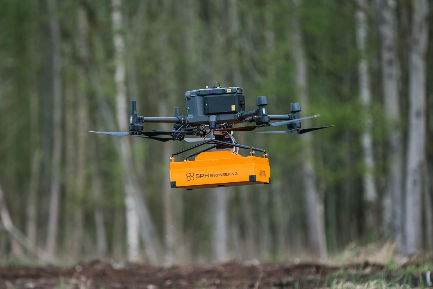
Aeromagnetic & EM Surveys
Acquisition of high-resolution magnetic field data using UAVs to support geological exploration and detect subsurface mineral bodies.

Service Details
We deliver UAV-based aeromagnetic surveys using high-sensitivity magnetometers deployed under controlled flight grids. Data processing includes drift correction, noise filtering, and regional background removal.
Deliverables include:
- Total Magnetic Intensity (TMI) maps
- Vertical and horizontal derivative maps
- Preliminary 3D subsurface models
- Technical interpretation reports supporting drilling decisions
Related Services
GPR & Underground Utilities Detection
Ground Penetrating Radar (GPR) surveys for accurate detection and mapping of buried infrastructure.
Learn More
Topographic Mapping
Generation of precise topographic maps and digital elevation models (DEMs) for engineering and plann...
Learn More
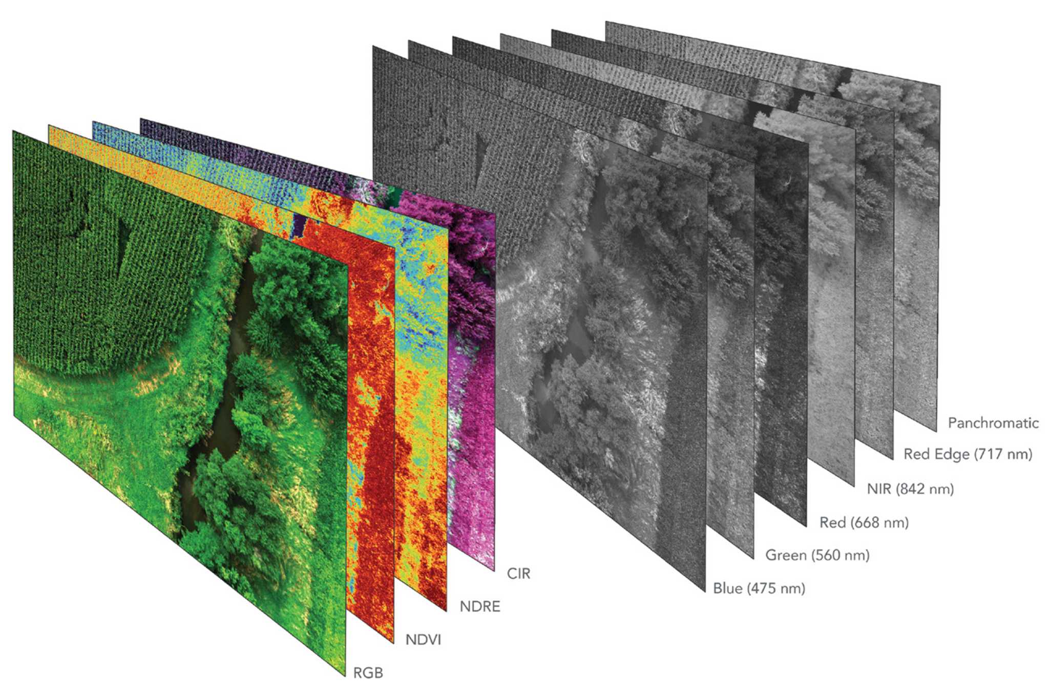
Multi & Hyperspectral Surveys
Spectral analysis of reflected light to assess vegetation health, environmental conditions, and subt...
Learn More