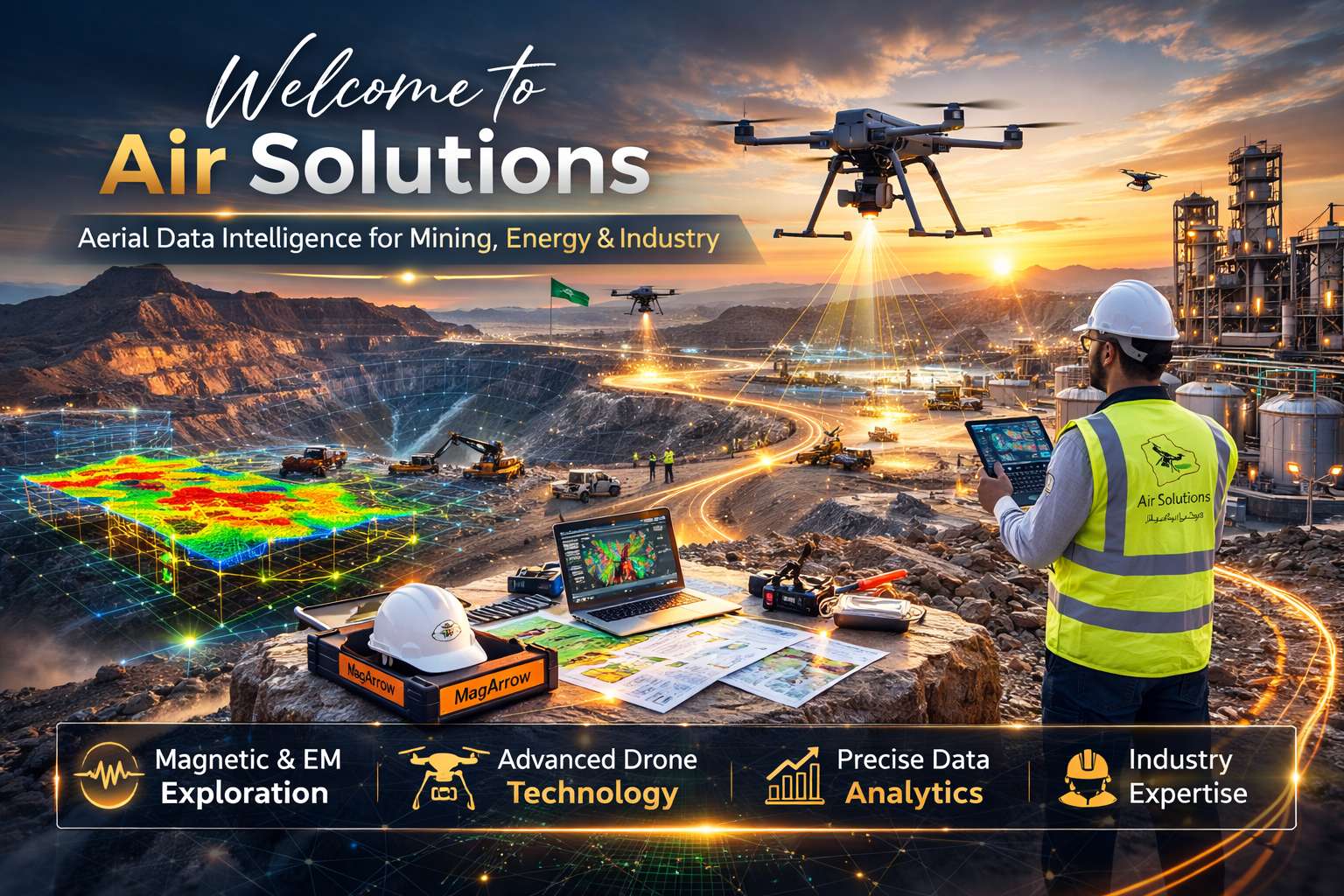
Air Solutions is a Riyadh-based leader in aerial data intelligence. We bridge the gap between aviation and data science, combining engineers, surveyors, and analysts to deliver decision-ready intelligence for the Kingdom’s critical sectors.
Our Methodology Data as a Service (DaaS)
We do not just sell flight hours; we deliver results. Our "Data as a Service" model manages the full lifecycle Planning, Capture, Processing, and Delivery transforming raw aerial data into actionable insights for immediate operational use.
Technical Capabilities Our state-of-the-art fleet ensures centimeter-level accuracy and safe access to hazardous terrain.
Our Key technologies include:
-
DJI M350 RTK & Zenmuse P1: For high-resolution photogrammetry and digital twins.
-
LiDAR & MagArrow II: For vegetation-penetrating topography and mineral exploration.
-
Tethered Systems: For safe, continuous high-rise cleaning.
Sectors Served
-
Mining & Exploration: Magnetic surveys and ore body identification.
-
Energy: Oil, Gas, and utility infrastructure.
-
Construction: Progress monitoring for mega-projects (e.g., NEOM).
-
Environment: Flood risk analysis and precision agriculture.