Digital Mapping for Highway Project
Advanced digital mapping project for a new 25-kilometer highway using Geographic Information Systems technology
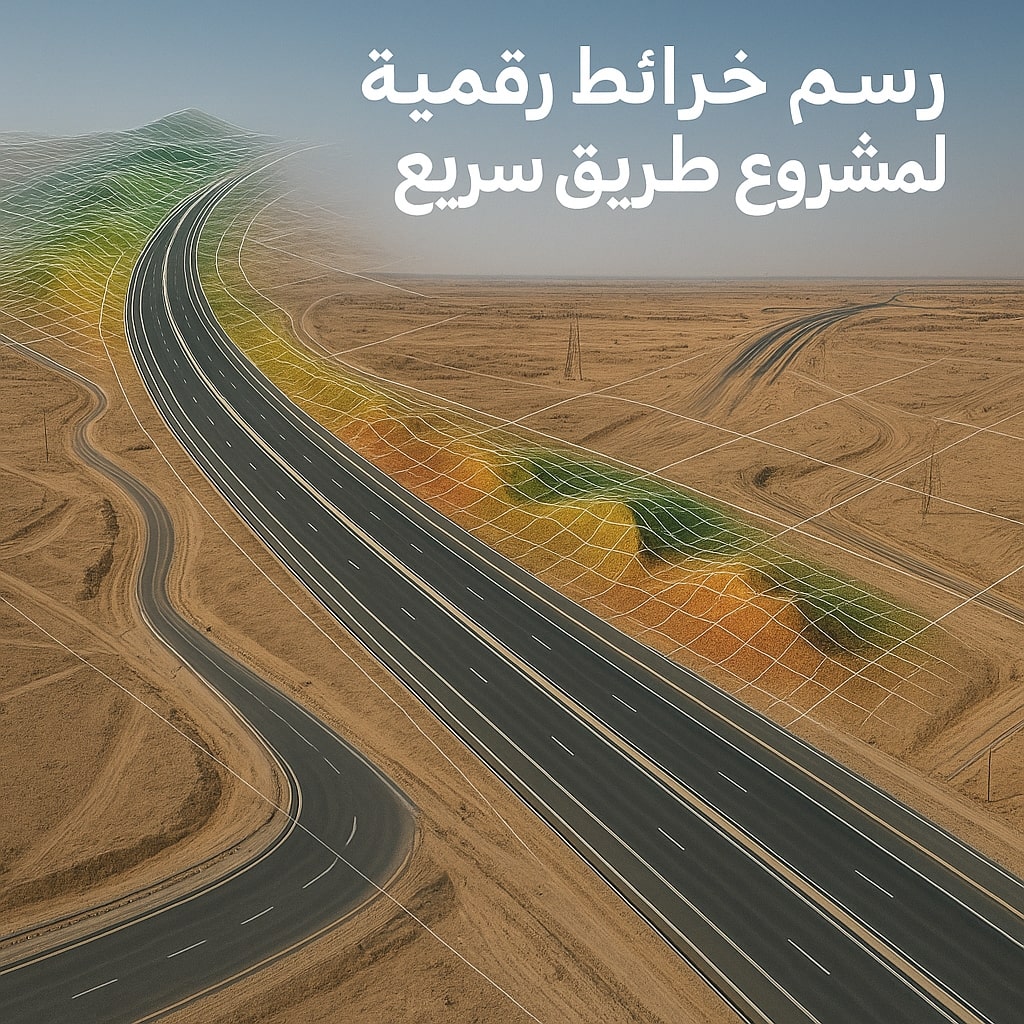
Project Details
We conducted a comprehensive aerial survey for a new highway route connecting two major urban areas. The project included creating high-precision digital maps, terrain analysis, and identifying the best possible routes. We used AI techniques to analyze data and provide technical recommendations to improve design and reduce environmental impact.