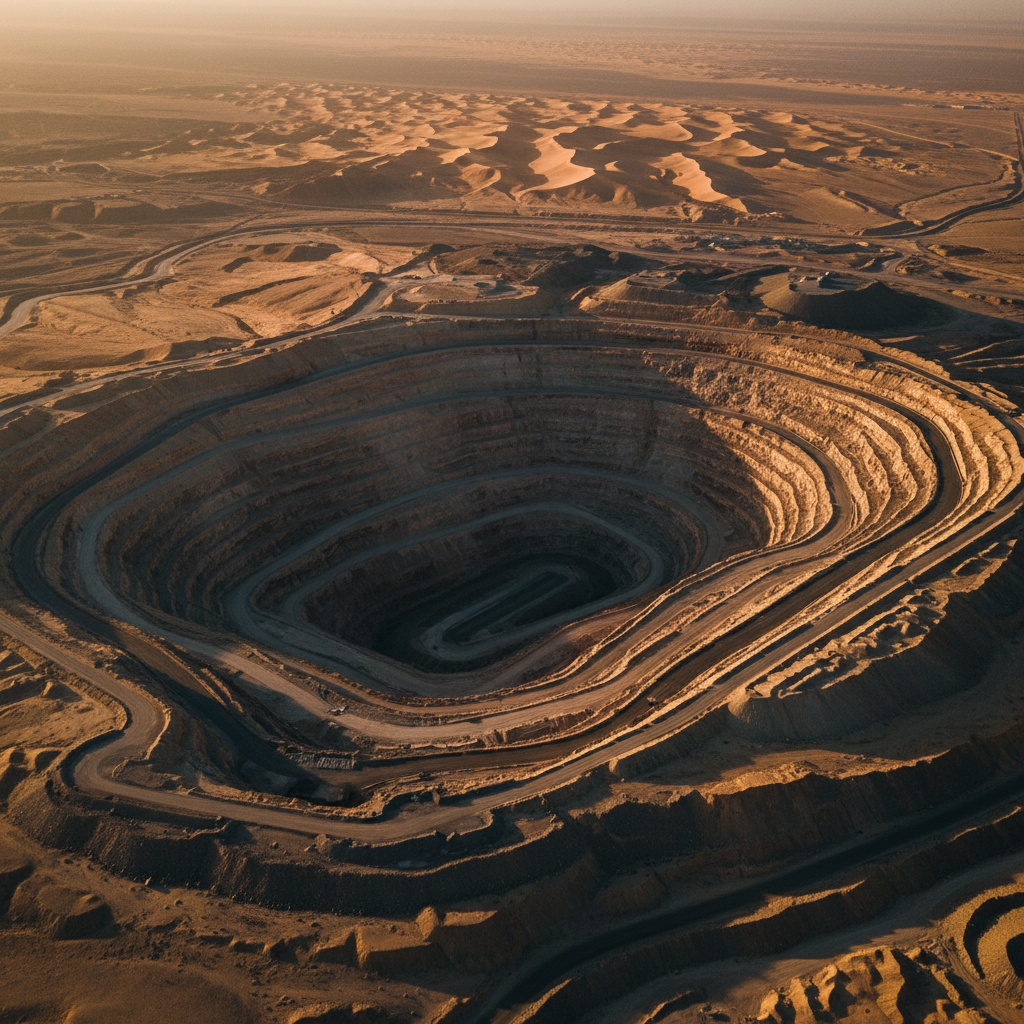
تضاريس وعرة، فقيرة بالطرق
مسح جوي مزدوج المستشعر
أهداف حفر مرتبة
احتفظ العميل بترخيص استكشاف على كتلة معقدة هيكلياً، إلى حد كبير غير قابلة للوصول، من الدرع العربي. كان المسح الأرضي بطيئاً وخطراً، ولم يكن هناك أساس موثوق لإعطاء الأولوية لبرنامج حفر مكلف.
طِرنا مسحاً مغناطيسياً جوياً وإشعاعياً متقارب المسافات عبر منطقة الترخيص الكاملة، مع ضبط جودة ميداني مستمر لتغطية الخط وجودة البيانات. أزالت المعالجة الضوضاء اليومية وضوضاء المنصة، ودُمجت المنتجات الشبكية في مجموعة بيانات تفسير واحدة.
حلت خرائط الشذوذ المغناطيسي الأجسام الحديدية وبنية الصدوع التي تتحكم فيها، بينما حسّنت الصور الإشعاعية الثلاثية صخور السطح والتحوير. كانت النتيجة مجموعة مرتبة من أهداف الحفر — كل منها مع مبرر جيوفيزيائي موثق وسلسلة حيازة كاملة لضمان الجودة — سُلِّمت مباشرة إلى جيولوجيي العميل.
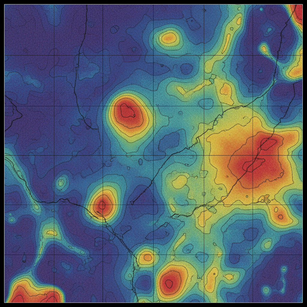
الاستهداف الهيكلي
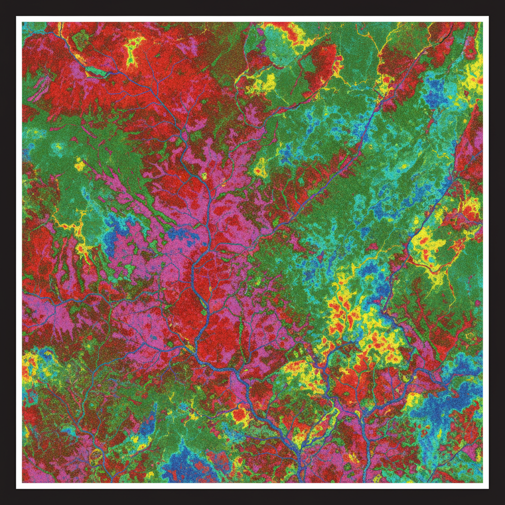
الصخور والتحوير
ارسم خريطة ترخيصك التالي.
أرسل لنا امتيازك وهدف الاستكشاف. نرد بخطة مسح وتسعير خلال 48 ساعة.