ذكاء استراتيجي على المستوى الوطني.
تلتزم رؤية 2030 المملكة بمحفظة من البرامج الاستراتيجية — تحقيق الثروة المعدنية، أمن المياه، تسليم المشاريع العملاقة، الإشراف البيئي. كل منها يعتمد على خط أساس ذكاء جيومكاني قابل للدفاع لا يمكن للمسح الأرضي التقليدي إنتاجه على مستوى البرنامج أو السرعة.
نشغل المكدس الكامل من المستشعرات الجيوفيزيائية والجيوماتيكية — مغناطيسي، كهرومغناطيسي، إشعاعي، فوق طيفي، ليدار، فوتوغرامتري، GPR — معايرة للظروف الصحراوية ومهيأة لبرامج المسح على مستوى المملكة.
جميع المخرجات معايرة وقابلة للتدقيق ومهيأة للاستهلاك بين الوكالات — جاهزة للمراجعة التقنية والتقديم التنظيمي وصنع القرار الاستراتيجي على المستوى الوزاري.
ما نحلّه.
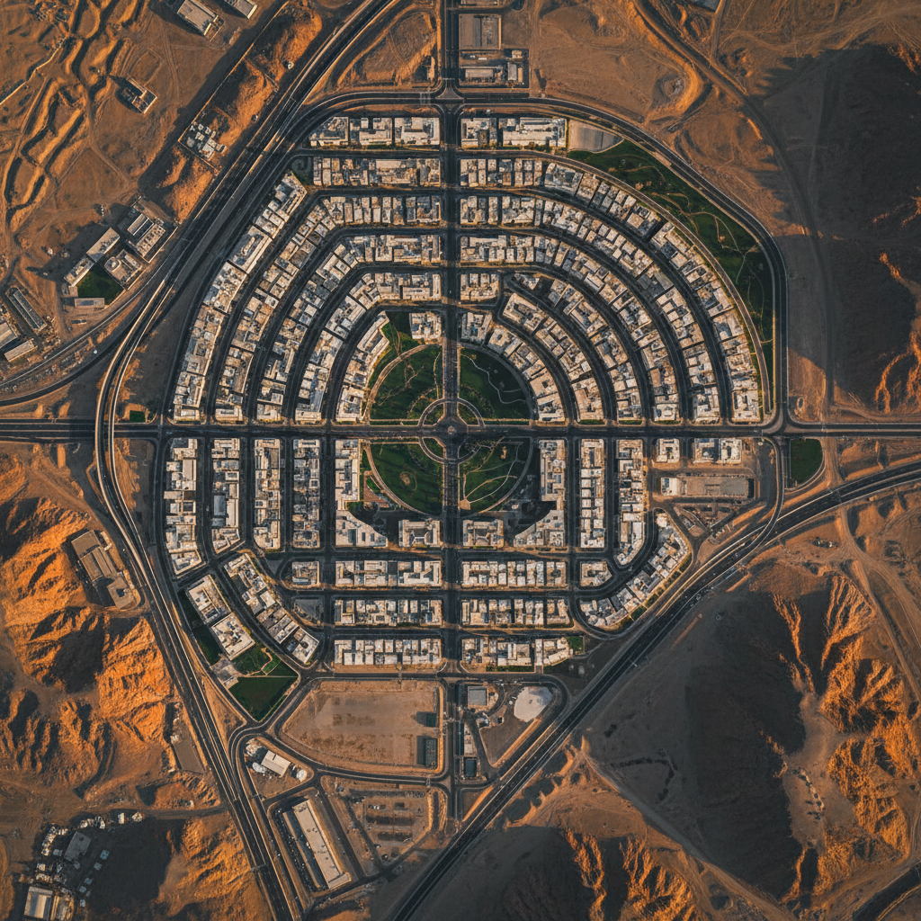
تغطية على مستوى البرنامج
المنصات الجوية تُسلِّم تغطية على المستوى الوطني بسرعة المسح.
معايير بين الوكالات
المخرجات موحدة بصيغ ودقة يتوقعها كل منظم.
نسب بيانات قابلة للدفاع
سلسلة حيازة كاملة من معايرة المستشعر حتى المخرج النهائي.
تكامل متعدد المستشعرات
خط دمج مملوك يتحقق متبادلاً عبر أنواع المستشعرات.
موثوقية الجدول
عمليات بقيادة المؤسسين؛ لا سلسلة مقاولين فرعيين لامتصاص مخاطر الجدول.
سيادة البيانات
جميع البيانات الخام والمعالجة مستضافة داخل المملكة تحت حيازة العميل.
القدرات لهذا القطاع.
خط أساس على المستوى الوطني
خط أساس مغناطيسي وفوق طيفي وليدار متكامل لمنطقة برنامج رؤية 2030 — مصمم لدعم صنع القرار الاستراتيجي لمدة 20 عاماً على المستوى الوزاري.
خطط لبرنامجك.
شارك هدفك الاستراتيجي ومنطقة اهتمامك. يحدد فريقنا برنامج مسح على مستوى المملكة مع إطار التقارير خلال 48 ساعة.