ذكاء بيئي على مستوى البرنامج.
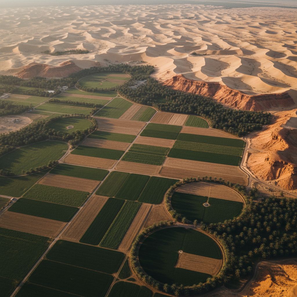
تلتزم رؤية 2030 المملكة العربية السعودية بالإشراف البيئي — الزراعة المستدامة، استعادة الأراضي الجافة، حماية التنوع البيولوجي، وتقييم الأثر البيئي الصارم عبر المشاريع العملاقة. كل منها يعتمد على خط أساس جيومكاني قابل للدفاع.
التصوير فوق الطيفي يلتقط التوقيعات الطيفية لإجهاد النباتات وكيمياء التربة والملوحة وتلوث السطح بدقة أقل من المتر. مدمجاً مع المؤشرات متعددة الأطياف (NDVI، NDWI، إلخ)، المخرج هو تصنيف بيئي لكل بكسل جاهز للتقديم التنظيمي.
نُسلِّم خطوط أساس تصمد أمام المراجعة التقنية — معايرة وقابلة للتتبع ومُتحقق منها متبادلاً مقابل الحقيقة الأرضية حيثما تعمل فرق العملاء.
ما نحلّه.
إجهاد النباتات
توقيعات الحافة الحمراء فوق الطيفية تُعَلِّم الإجهاد قبل الأعراض المرئية.
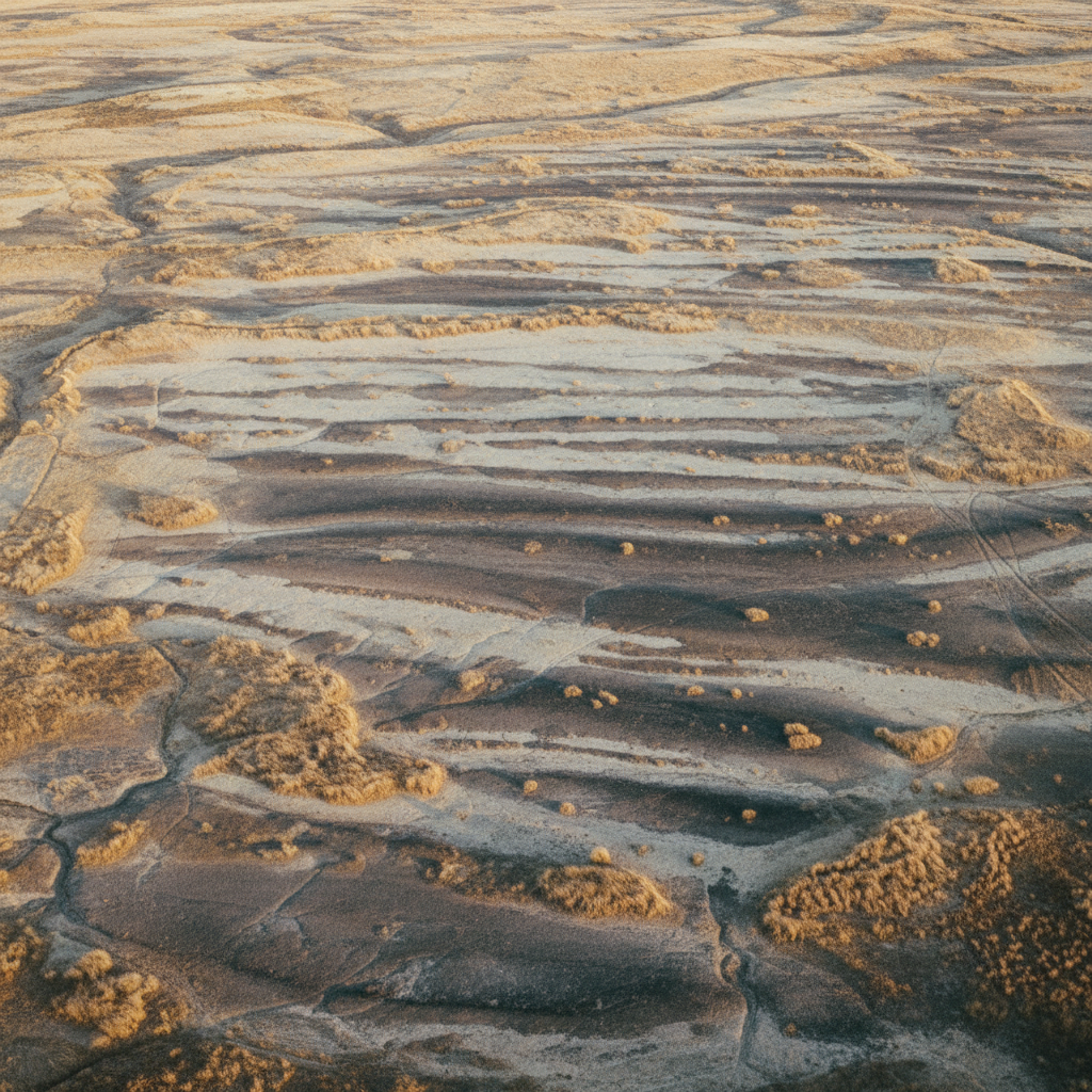
رسم خرائط ملوحة التربة
توقيعات VNIR + SWIR تفصل التربة المتأثرة بالملوحة عن الصحية.
تصنيف استخدام الأراضي
التصنيف متعدد الأطياف يدعم التخطيط وتقارير ESG.
أعمدة التلوث
توقيعات فوق طيفية للتلوث الصناعي أو الزراعي.
خطوط أساس التنوع البيولوجي
مسوحات ما قبل التطوير تُنشئ خطوط أساس قابلة للدفاع للتنوع البيولوجي.
كفاءة الري
خرائط NDVI + وكيل رطوبة التربة تدعم تحسين الري.
القدرات لهذا القطاع.
خريطة صحة النباتات
تصنيف لكل بكسل يفصل المحاصيل الصحية ومناطق إجهاد المياه والتربة العارية — مدخل مباشر لتحسين الري وتقارير ESG.
أنشئ خط أساس أرضك.
شارك منطقة اهتمامك والهدف البيئي. نرد باختيار النظام وخطة المعايرة والجدول الزمني خلال 48 ساعة.